
1HappyHiker
Well-known member
My hiking partner (Zman) and I hiked the Blueberry Mountain Trail today (17-Apr-2009) from Long Pond Road to the summit of Blueberry Mountain. This trail was 99.9% free of snow & ice. I’m not giving it a complete 100% rating since, technically-speaking, there were a couple of very small patches of snow.
From the summit area of Blueberry Mountain we did a bushwhack through predominately open-woods to a ledge about 0.3 mile north of Jeffers Mountain. We chose a different route for our return leg. We descended from the ridge by doing a half-mile downhill bushwhack nearly due east through open-woods to intersect Long Pond Road, and then “road-walked” back to our car which was parked at the gate since the road is still “winter-closed”.
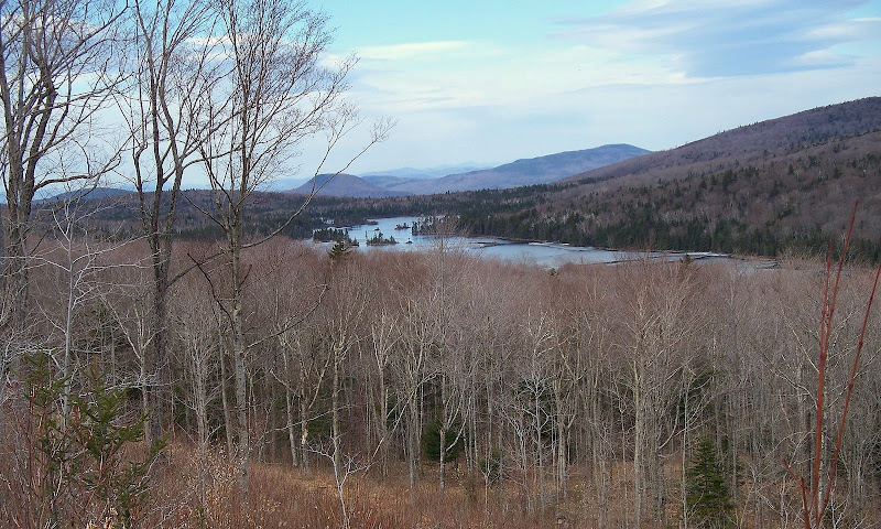
Although there were some attractive views from the ledge, my personal favorite view for the day was a vista we got overlooking Long Pond during our descent to Long Pond Road. (Below is a photo of this vista.)
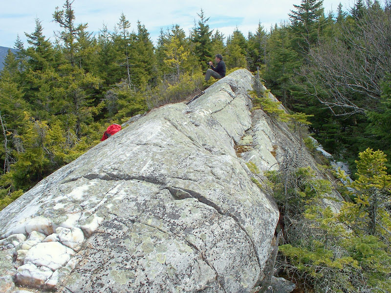
As shown in the photo below, the ledge itself has an interesting tent-like configuration.
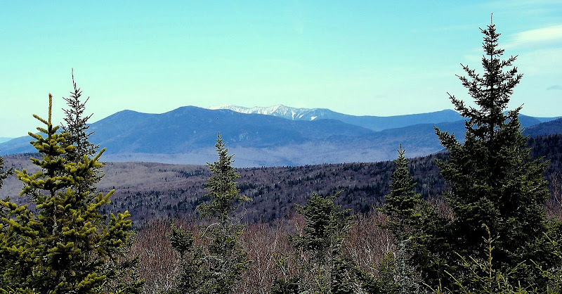
From the ledge, there was an interesting view to the east with the Kinsmans in the foreground which are superimposed on the Franconia Range in the background (photo below).
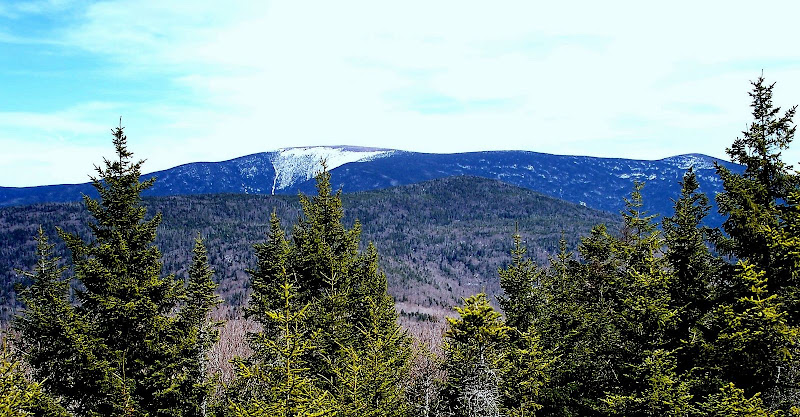
Also from the ledge was a view toward Moosilauke and South Peak.
1HappyHiker
From the summit area of Blueberry Mountain we did a bushwhack through predominately open-woods to a ledge about 0.3 mile north of Jeffers Mountain. We chose a different route for our return leg. We descended from the ridge by doing a half-mile downhill bushwhack nearly due east through open-woods to intersect Long Pond Road, and then “road-walked” back to our car which was parked at the gate since the road is still “winter-closed”.
Although there were some attractive views from the ledge, my personal favorite view for the day was a vista we got overlooking Long Pond during our descent to Long Pond Road. (Below is a photo of this vista.)
As shown in the photo below, the ledge itself has an interesting tent-like configuration.
From the ledge, there was an interesting view to the east with the Kinsmans in the foreground which are superimposed on the Franconia Range in the background (photo below).
Also from the ledge was a view toward Moosilauke and South Peak.
1HappyHiker
Last edited:
