grouseking
Well-known member
The normal trek across Moose Mtn in Hanover is to take the AT from Three Mile Rd and head north (or from Goose Pond Rd to go south). I wanted more than that.
Earlier this year, I checked the topo maps extensively, and did some research on the mountain in general, and found out there used to be a maintained trail that came across the ridge, which started down in Enfield, then headed north, for almost 6 miles, then met the AT below the summit of South Moose. "Game on", I thought!! In May a friend and I attempted to hike it, to see if it was passable, which it was...but we turned around due to the 100's of ticks sticking to our bodies. I wanted another crack at it, so off I went, and had quite an adventure.
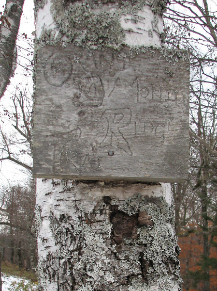
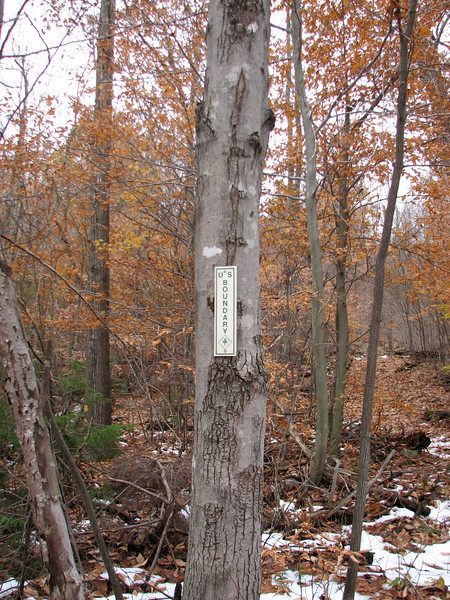
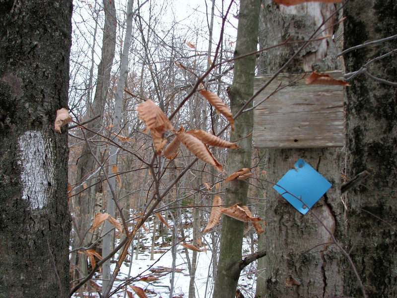
The trail is (or was called) the Orange Diamond trail, and over time there were some orange pieces of tape to help lead the way, just to remind you that...yes, believe it or not, you are on the correct path. There were also blue pieces of tape too, which confused me at first, but I theorize that the blue means it is a trail that leads to the AT. Anyways, some pics...
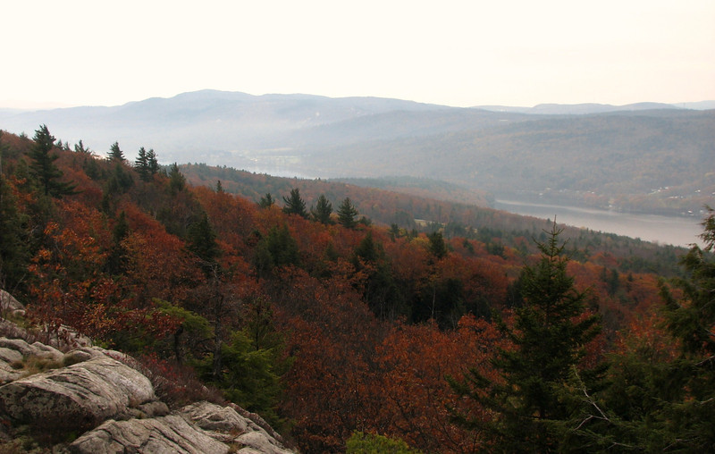
There was a big temperature inversion this day, which led to crappy views, except earliest in the day, with some neat undercast shots, like this one, Mascoma Lake is under the fog.
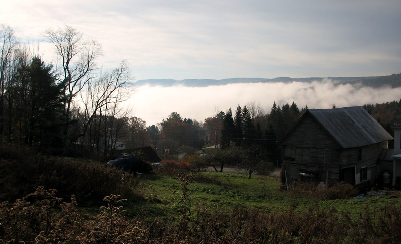
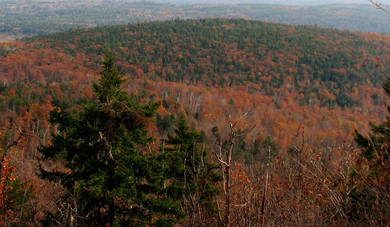
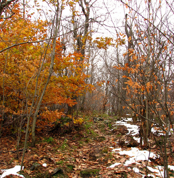
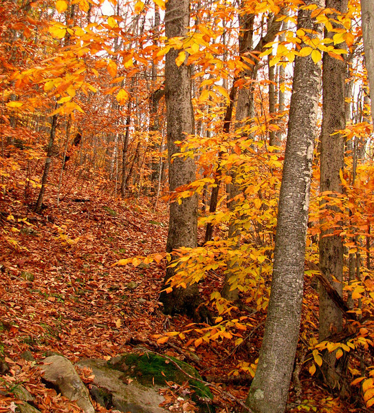
Foliage is really hanging tough this year
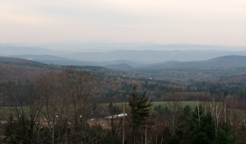
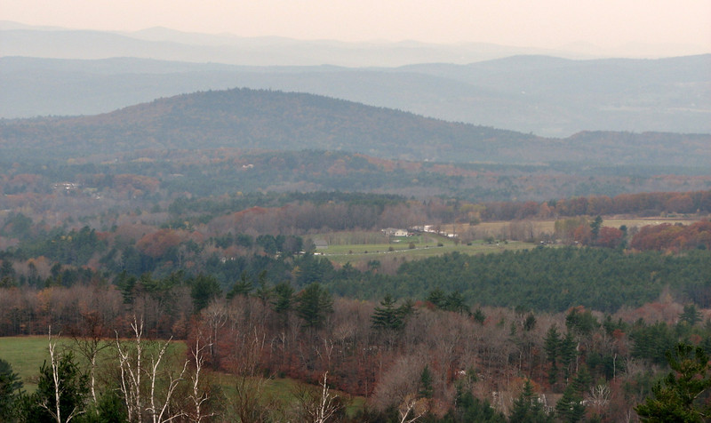
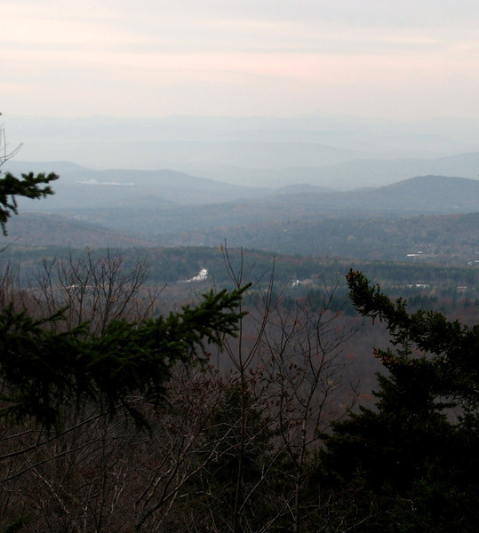
About a mile in (estimation) there is a nice view of Mascoma Lake and the nearby hills, and also Ascutney
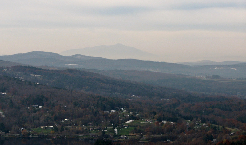
views would have been so much sweeter with sunshine and good visibility
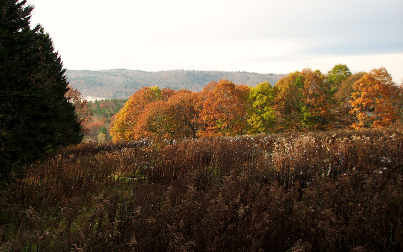
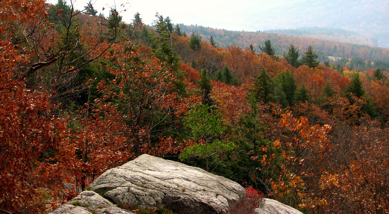
more leftover foliage
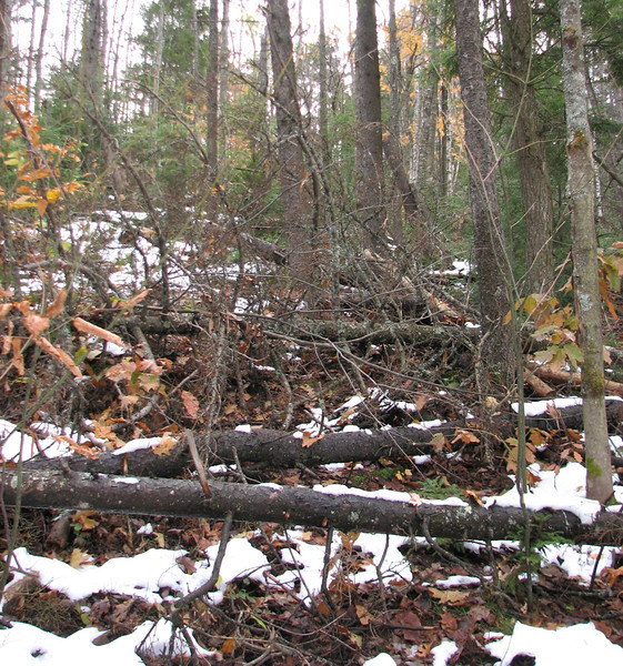
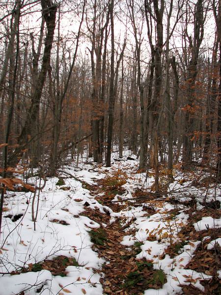
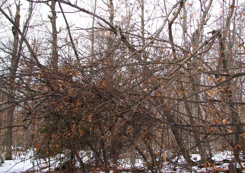
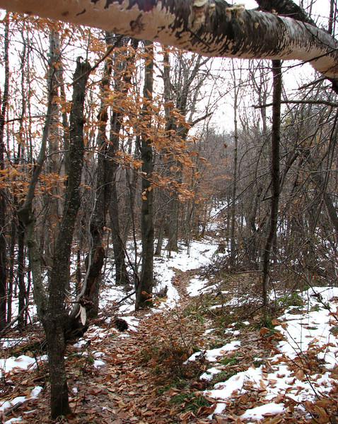
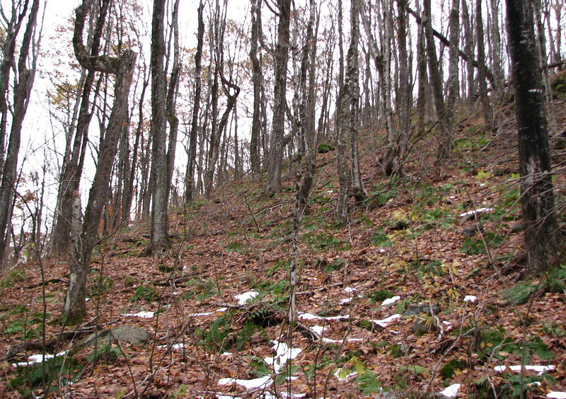
The trail was kind of...off and on. Most areas it was fairly easy to follow, other areas, not so much. Then there were the blowdowns, which were easy enough to negotiate, but still, a PITA. The following pic...is the trail.
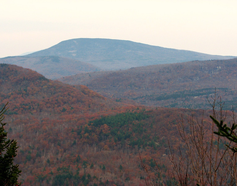
Past this nasty blowdown section, I came to some nice ledges that led to a great view towards the east, and northeast. Again, the conditions were not good long distance, but good nonetheless.
South Moose mtn is on the left, then Smarts is in the distance
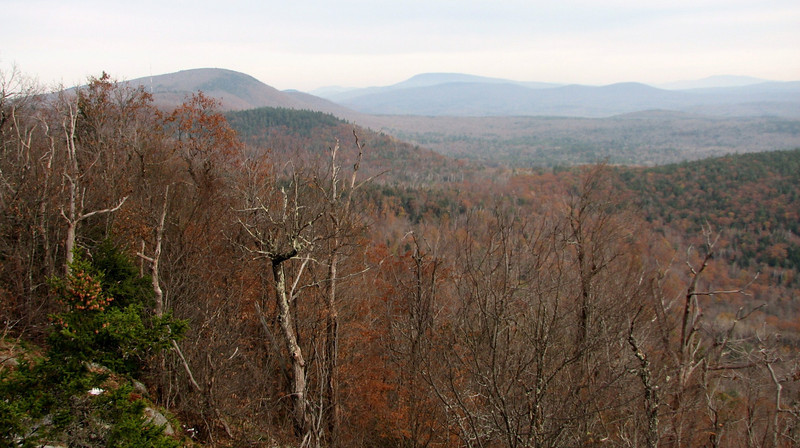
more late foliage
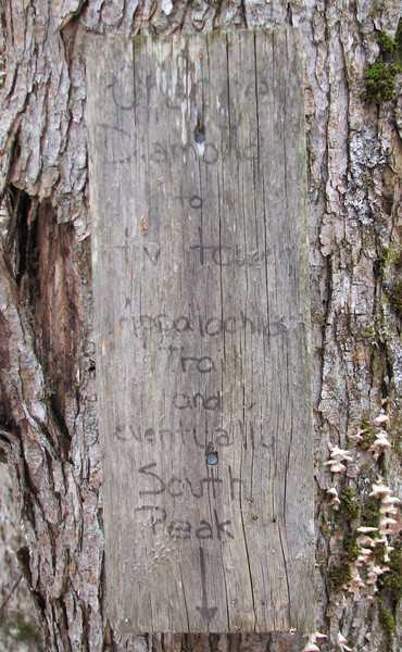
After quite some time, I came to a crossroads in trails, and the conditions of them improved dramatically..I figured I was near the Moose Mtn Lodge and its system of paths. Still, I carefully followed the way that thought was the correct path, and was rewarded by the sign below...a sign of the trail I should be on!! Thank god for maps!
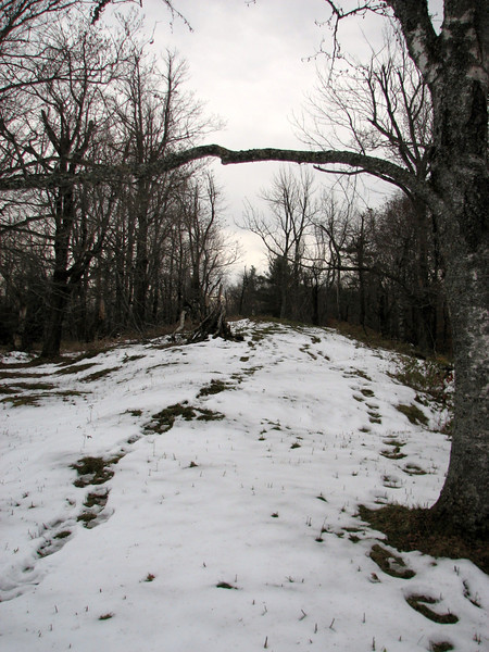
Now the trail really widened and crossed an interesting section that was definitely cleared by the Moose Mtn lodge people. Thanks to the dark clouds, it made for an interesting mood...
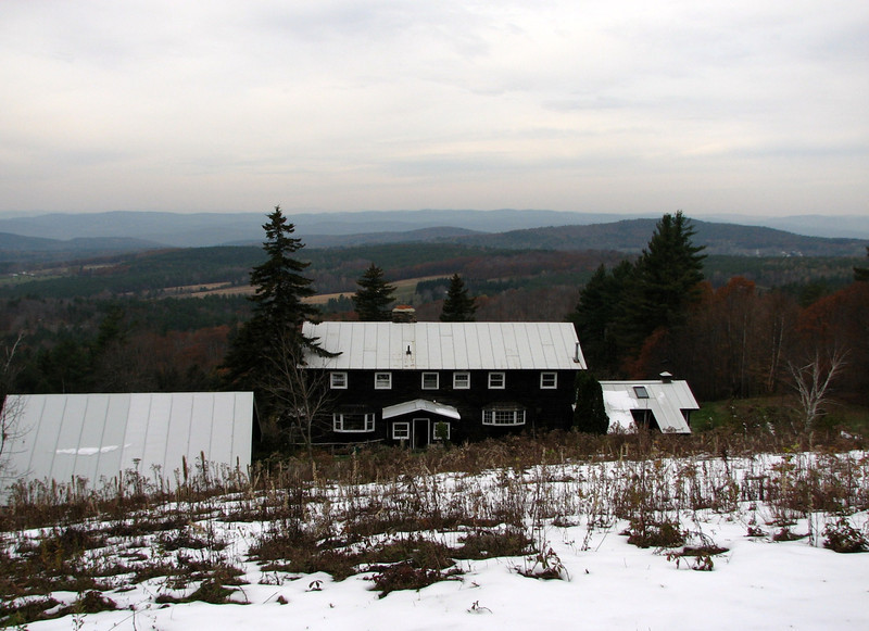
Before long, I could see the lodge in the distance, and I made a bee line for a wooden seat, which ended up being a great place for lunch.
Again, temp inversion killed any chance of good, clear views.
Cont in a min
Last edited:


![Grand Teton Day Hikes and National Park Map [Map Pack Bundle] (National Geographic Trails Illustrated Map)](https://m.media-amazon.com/images/I/41DB0jvRnbL._SL500_.jpg)


![Yellowstone National Park [Map Pack Bundle] (National Geographic Trails Illustrated Map)](https://m.media-amazon.com/images/I/51kGuJ72qjL._SL500_.jpg)


![Grand Canyon, North and South Rims [Grand Canyon National Park] (National Geographic Trails Illustrated Map)](https://m.media-amazon.com/images/I/419Y-ycyVUL._SL500_.jpg)


