Are the rivers overflowing?

vftt.org

Help Support vftt.org:

This site may earn a commission from merchant affiliate links, including eBay, Amazon, and others.

Raymond

Well-known member
Joined
Sep 4, 2003
Messages
1,536
Reaction score
59
Location
My gut is telling me no... but my gut is also very
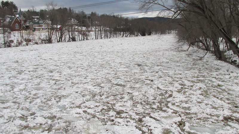
I see that there’s been some flooding around Thornton, at least, with Route 3 through there closed and also both exits (29) off 93.

Would anyone here expect there to be any trouble for motorists passing through that area — or anywhere else along the Interstate 93 corridor, for that matter — tomorrow? I was hoping to head to the White Mountains, but don’t want to have any bridges washed out from under me (natch).

What are conditions like along the mountain trails, now? Still snowy? Icy? Muddy?

Thanks for any help.
 
Here in Littleton we lost all of our snow due to heavy rains. I drove through Crawford Notch on my way to North Conway today and I don't think it even rained on the east side of the whites. There was tons of snow in Crawford Notch and Attitash appears to be the only ski area that didn't have any bare spots. Even North Conway had a decent amount of snow. If you are going to hike tomorrow, the Crawford Notch area might be your best bet.
 
I was up this weekend dealing with frozen pipes in our camp in Plymouth. Someone told me there was an ice dam on the Pemigiwasett River. Nobody quite knows its exact location. The pemi is really high. See this picture taken from bridge across Pemi in Plymouth.

IMG_0544-L.jpg


The warm heavy rains cause significant changes to landscape. Ice dams could be developing on many rivers. High water and possible flash flooding when they let go.
 
Pretty impressive ice jams this morning on the Pemi. At the highway river crossing near exit 29, the ice was up to the base of the train bridge just upstream. Ice as far as I could see in both directions. Flooding of some degree (that I know of) at Pemi Campground and Gilcrest Cottages, and water covering the lower golf holes at Owls Nest (2,3,4,5,6.)
 
I drove up and climbed Mount Pierce. It looked like Exit 29 was open again. Didn’t notice any closure signs, anyway.

After climbing the mountain, I explored the trails behind the Highland Center. The Around-the-Lake Trail crossed a stream and there was quite a pile of ice chunks stacked up and refrozen against a blowdown across the stream, so I guess at least one ice dam let go.
 
Top