Jazzbo
Well-known member
- Joined
- Jan 1, 2005
- Messages
- 1,199
- Reaction score
- 171
Boundary Peak via Ruisseau Clearwater and Chemin de la Grive
This was #98 on NEHH list for me. I entered Canada via Chain of Ponds Route 27 without problem. I passed through the town of Woburn and headed southward on the road leading to Gosford Parc. I stopped at the welcome center and paid my fee of $8.
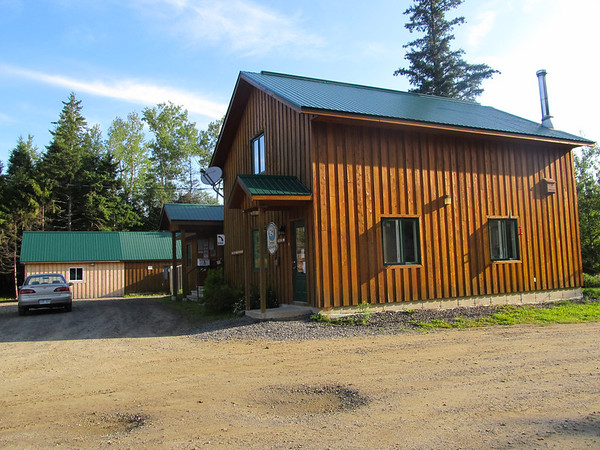
The gentleman gave me directions to get to Ruisseau Clearwater and to the road called Chemin de la Grive that leads up the tributary valley to the Celarwater. I wasn’t sure if I was on the right road and was amazed at the elevation I was gaining as indicated by my altimeter. I could have gone further, but decided to park when I spotted a small parking spot on the road. I geared up and hiked up the road. The road ended at a large gravel pit.
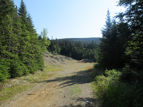
I headed towards the left and spotted an ATV trail and started to follow it. I figured all ATV trails go to the boundary swath, but this one didn’t. It stopped at this hunting shack/tower complete with salt licks and drinking water trough.
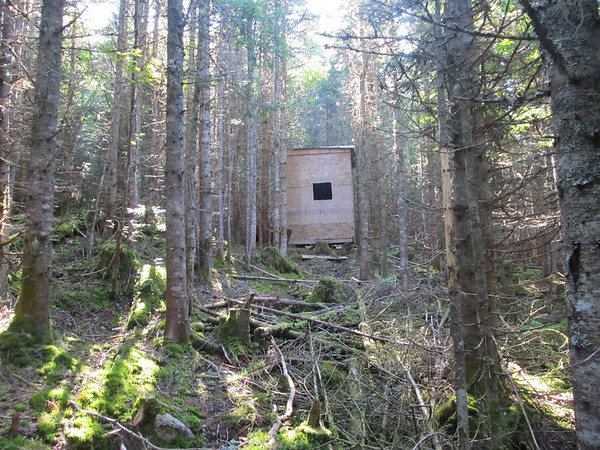
I also spotted a small wheeled cart rigged up with a come-along. It suddenly dawned on me ... this cart is for hauling moose carcasses down the mountain. I was tempted to let the air out of the tires, but continued on my way.
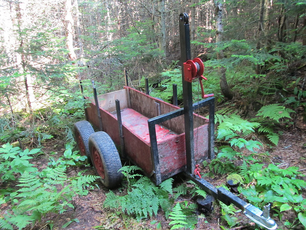
I whacked directly up the slope until I reached the top of a bump. Humm … the boundary swath should be around here somewhere. It turned out the bump was just a minor summit of the taller summit located just south of boundary marker 446. I worked my way over to the true summit and the swath and popped out here.
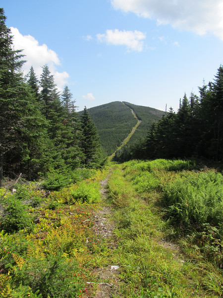
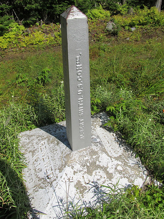
I was half-surprised to find my GPS maps didn’t cover Canada forcing me to rely more on my map and compass which was ok by me. The GPS was still helpful as it still showed a track – just no map data and if I hovered the white curser on the US side, it would furnish additional data helpful for navigation. I popped out right on the summit located south of Monument #446 and another hunting shack/tower complete with salt licks etc etc. I headed for the Boundary Peak passing by Monument #446 and yet another moose hunting shack/tower.
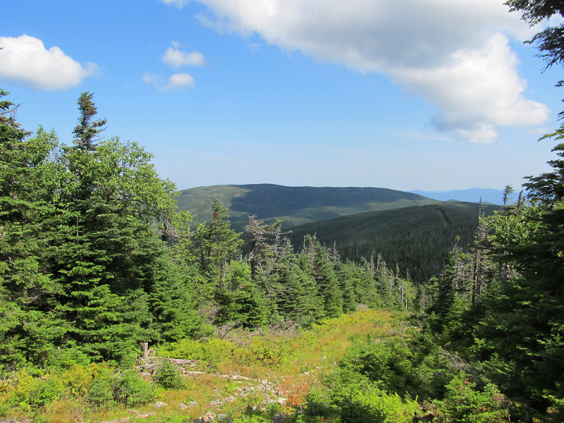
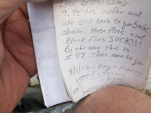
I’m pleased to say there is no hunting shack on Boundary Peak. I located the canister and signed in. It is of old design. The register was completely full. I and others were forced to write on some random paper that others had left inside. The weather was decent and the views were decent too. Here's a view to the south.
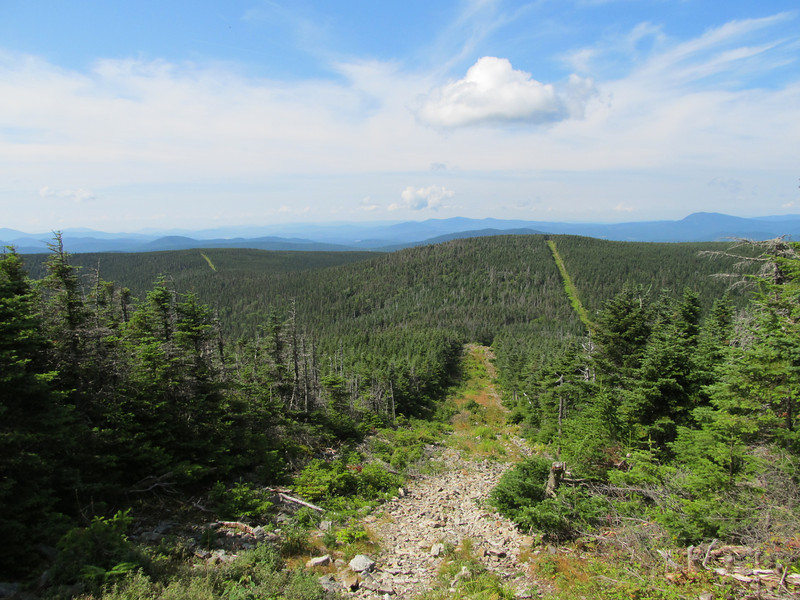
Here's a view towards the north. I think the mountain to the left is Mount Gosford.
I returned to the summit located to the south and instead of attempting to bush whack back to the ATV trail I came up on, I attempted to find an ATV trail that came out in the next saddle. I found yet another hunting camp and an ATV trail. Actually it turned out not to be an ATV trail as it petered out pretty quickly. It did turn out to be an abandoned skidder road cut right into the wall of the valley. The skidder raod was quite wide, but all grown in with spruce anywhere from 1” to 6” diameter. The trees were spaced perfectly with no blowdownds making for very easy passage by yours truly. It was heading in just the right direction for my purposes so I followed it for a solid mile whereupon it intersected with the same ATV trail I ascended on.
When I got home to MA, I exported the track to TOPO and found the GPS track matched perfectly one of the dashed lines that go up this valley so I had pleasure of locating a genuine abandoned trail. Finding an old trail in nice condition is always a treat for person such as me.
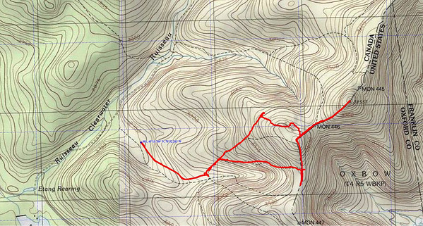
So the hike to Boundary Peak wasn’t supposed to be a bush-whack, but it turned out to be one and that suited me just fine. Now I just have to get Fort and Coe in Baxter. Probably next year.
This was #98 on NEHH list for me. I entered Canada via Chain of Ponds Route 27 without problem. I passed through the town of Woburn and headed southward on the road leading to Gosford Parc. I stopped at the welcome center and paid my fee of $8.

The gentleman gave me directions to get to Ruisseau Clearwater and to the road called Chemin de la Grive that leads up the tributary valley to the Celarwater. I wasn’t sure if I was on the right road and was amazed at the elevation I was gaining as indicated by my altimeter. I could have gone further, but decided to park when I spotted a small parking spot on the road. I geared up and hiked up the road. The road ended at a large gravel pit.

I headed towards the left and spotted an ATV trail and started to follow it. I figured all ATV trails go to the boundary swath, but this one didn’t. It stopped at this hunting shack/tower complete with salt licks and drinking water trough.

I also spotted a small wheeled cart rigged up with a come-along. It suddenly dawned on me ... this cart is for hauling moose carcasses down the mountain. I was tempted to let the air out of the tires, but continued on my way.

I whacked directly up the slope until I reached the top of a bump. Humm … the boundary swath should be around here somewhere. It turned out the bump was just a minor summit of the taller summit located just south of boundary marker 446. I worked my way over to the true summit and the swath and popped out here.

I was half-surprised to find my GPS maps didn’t cover Canada forcing me to rely more on my map and compass which was ok by me. The GPS was still helpful as it still showed a track – just no map data and if I hovered the white curser on the US side, it would furnish additional data helpful for navigation. I popped out right on the summit located south of Monument #446 and another hunting shack/tower complete with salt licks etc etc. I headed for the Boundary Peak passing by Monument #446 and yet another moose hunting shack/tower.

I’m pleased to say there is no hunting shack on Boundary Peak. I located the canister and signed in. It is of old design. The register was completely full. I and others were forced to write on some random paper that others had left inside. The weather was decent and the views were decent too. Here's a view to the south.

Here's a view towards the north. I think the mountain to the left is Mount Gosford.

I returned to the summit located to the south and instead of attempting to bush whack back to the ATV trail I came up on, I attempted to find an ATV trail that came out in the next saddle. I found yet another hunting camp and an ATV trail. Actually it turned out not to be an ATV trail as it petered out pretty quickly. It did turn out to be an abandoned skidder road cut right into the wall of the valley. The skidder raod was quite wide, but all grown in with spruce anywhere from 1” to 6” diameter. The trees were spaced perfectly with no blowdownds making for very easy passage by yours truly. It was heading in just the right direction for my purposes so I followed it for a solid mile whereupon it intersected with the same ATV trail I ascended on.
When I got home to MA, I exported the track to TOPO and found the GPS track matched perfectly one of the dashed lines that go up this valley so I had pleasure of locating a genuine abandoned trail. Finding an old trail in nice condition is always a treat for person such as me.

So the hike to Boundary Peak wasn’t supposed to be a bush-whack, but it turned out to be one and that suited me just fine. Now I just have to get Fort and Coe in Baxter. Probably next year.
Last edited:

![Grand Canyon, North and South Rims [Grand Canyon National Park] (National Geographic Trails Illustrated Map)](https://m.media-amazon.com/images/I/419Y-ycyVUL._SL500_.jpg)

![Grand Teton Day Hikes and National Park Map [Map Pack Bundle] (National Geographic Trails Illustrated Map)](https://m.media-amazon.com/images/I/41DB0jvRnbL._SL500_.jpg)


![Yellowstone National Park [Map Pack Bundle] (National Geographic Trails Illustrated Map)](https://m.media-amazon.com/images/I/51kGuJ72qjL._SL500_.jpg)


