After Isolation yesterday, I was not not sure what to do today. I got up when the kids did, and thought probably Cabot. Then there was a 15-minute delay on I293 in Manchester, and another 45-minute delay by the Hooksett tolls after the merge. And if that wasn't enough, a logging truck rolled on route 2 / 115 right in the intersection (where one can often find a moose.) Passing Appalachia, it was snowing and the sides of the road were slick. I'm thinking that the hatchery is probably not plowed well and I don't want to get stuck. So I turned right on route 16, heading for Pinkham Notch. I was torn between out-and-back Wildcats and Carters via 19MBT and out the Imp by Joe Dodge. Right near the junction with Carter Dome Trail, the skies showed blue overhead and I decided to head to the Carters. Turns out it was the right decision. Trails are in superb shape, probably bare-bootable, although I wore my MSR Denalis for the entire trip. Once off the Carter Notch Hut Highway, I saw only 1 person on the trails. 12.4 miles, 4650 feet, 6 hours flat.
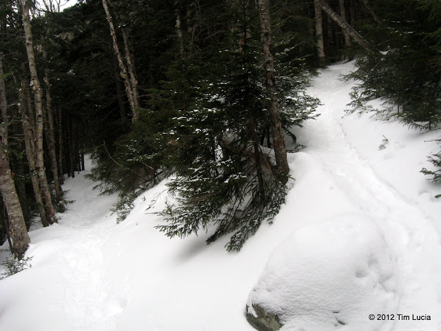
Switchback (one of many) on the Carter Dome Trail
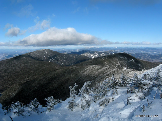
Hight, South, Middle, Moriah, Mahoosucs, Old Spec, and waaaay off, Saddleback
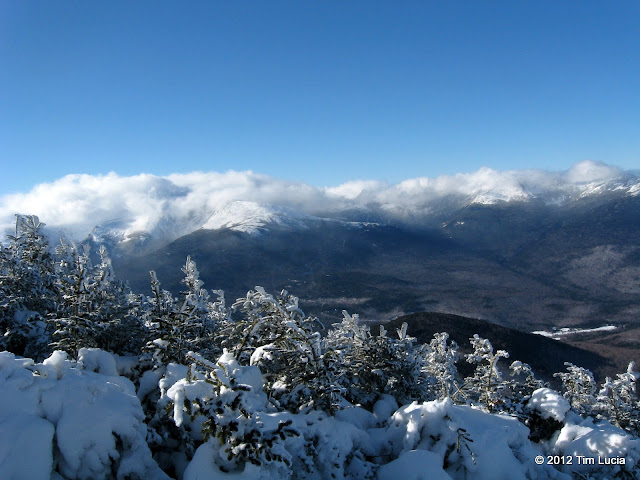
Presidential Range in the clouds
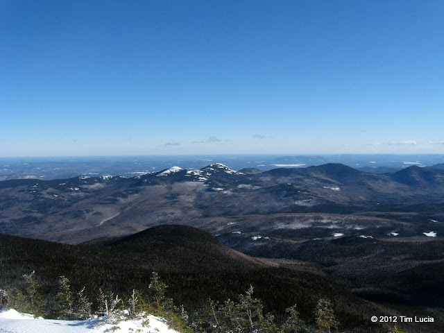
Baldfaces, to the east, not in the clouds
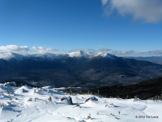
J, A and M Momentarily in the clear (from Hight)
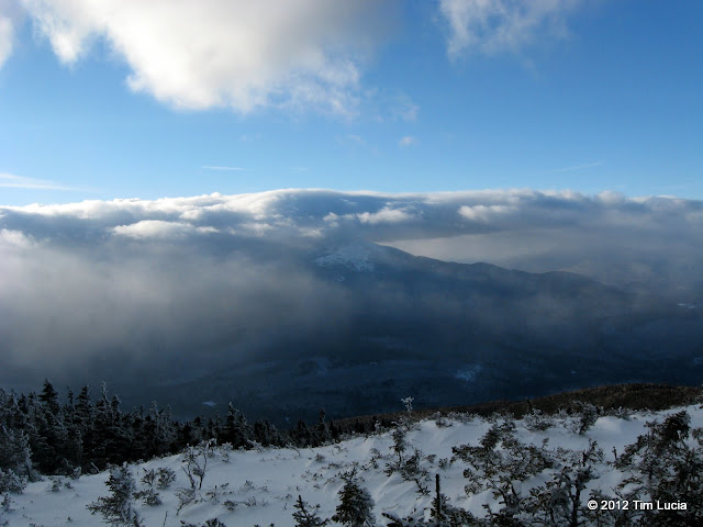
But only momentarily
Although it was cold (10-15) and windy, the exposure time was short and the views were long and despite the temps, all my frustrations with the drive melted away as soon as I got to Carter Dome.
All Photos

Switchback (one of many) on the Carter Dome Trail

Hight, South, Middle, Moriah, Mahoosucs, Old Spec, and waaaay off, Saddleback

Presidential Range in the clouds

Baldfaces, to the east, not in the clouds

J, A and M Momentarily in the clear (from Hight)

But only momentarily
Although it was cold (10-15) and windy, the exposure time was short and the views were long and despite the temps, all my frustrations with the drive melted away as soon as I got to Carter Dome.
All Photos
Last edited:
