grouseking
Well-known member
I learned something about myself yesterday. The more people I hike with, the less I pay attention. And it is very easy to go in the wrong direction....esp in an area I'm visiting for the first time. Myself, and 4 of my friends decided to tackle a section of the Cross Rivendell Trail between Bloodbrook Rd and Lake Morey, in Fairlee, Vermont. The idea was to visit Baldtop Mtn, and then hike down to the lake. Two cars were parked on either end. We ended up making it down to the lake, but Baldtop Mtn will have to wait. Lemme explain...
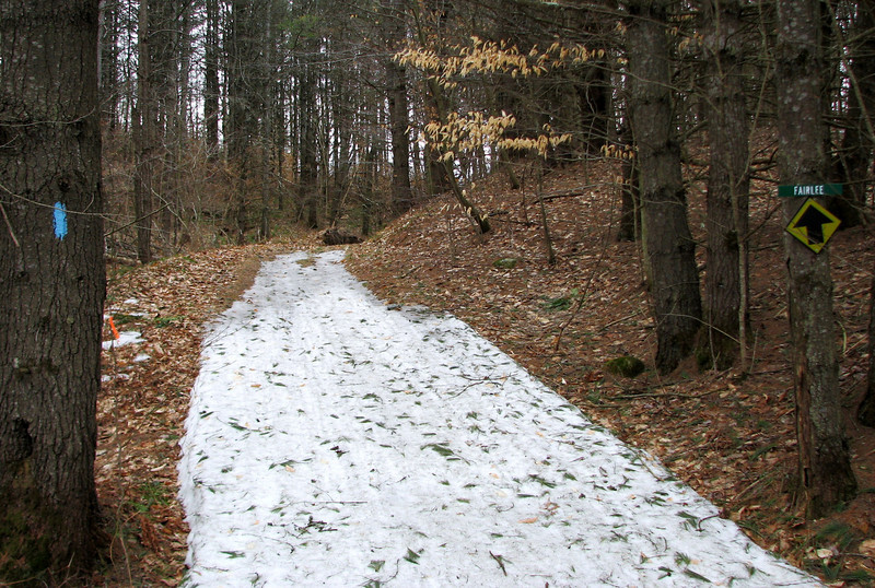
First, the beginning of the trail. Nice blaze..THAT-A-WAY to Fairlee!
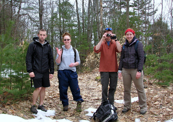
So off we went, yapping because some of us hadn't seen each other in almost two years. It was great to catch up for sure. We kept on along the snowmobile path, till we reached a point where there was a branch off. There were no blazes anywhere, but the way to the right looked more like a trail. In fact, further up there were little rock steps, so I thought we were goin the correct way. So off we went, up the steep incline till we reached a point where the trail turned sharp left. It was at this point where we saw two white tailed deer hopping out of our way at about 500 mph. First deer of the season!
Anyways, the read Cross Rivendell trail parallels the summit of Bald top for awhile, much like the snowmobile trail we were on yesterday, so I didn't think any differently. In fact, we were pretty much at the same elevation too. But then, the trail ended near some private property, and another path looped around, and down the hill in another direction. Whoops. Time to turn around. I felt bad for us going the wrong way, but everyone was having a great time.
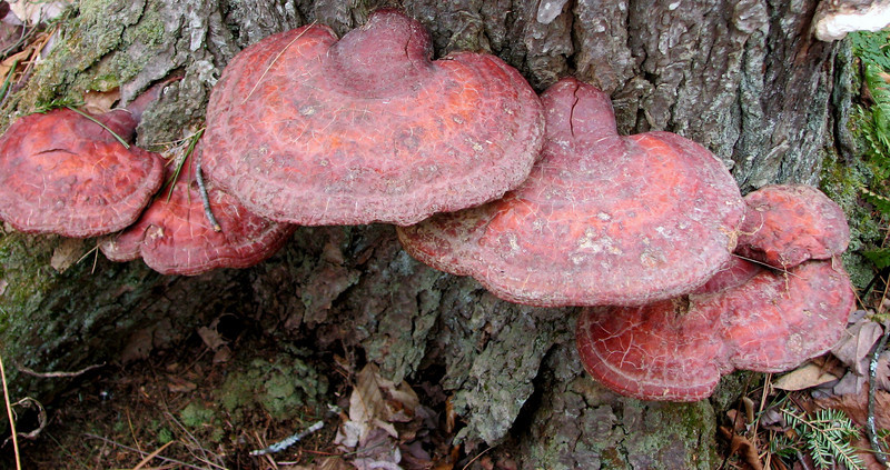
Ooh, and some neat tree fungus too.
Back down we went till we got back to the snowmobile trail junction, where we ate some lunch. I had a feeling that the actual trail was further back closer to the car, but we decided to head up another trail, right up a very steep side of the mountain, and see if, with a little luck, we might cross the trail. I was having my doubts after awhile, since I was pretty tired going up and down all the time. But, Casey, the energizer bunny of the group ran up ahead and came down, telling us there were blue blazes!! So up we went till we hit the trail.
Now...do we go left, or right? We didn't know exactly where we were, but decided to head right. I ran up ahead to see if there were any clues. A few minutes later...this.
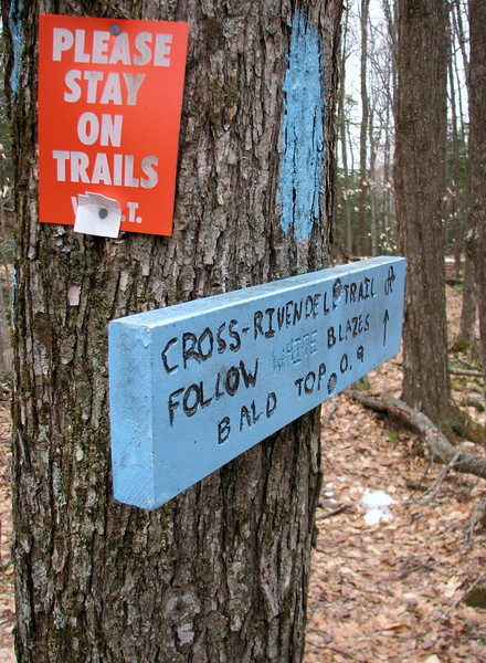
Another sign said we were 2.3 miles from Lake Morey, which means we actually had passed the summit we were looking for! At that point, a decision was made, to forgo the top, and just head back to the car on the lake side. Mainly because we knew the weather would be going to crap later, and the wind was already pretty fierce. And the temps were only in the upper 30s. It def did not feel like spring yesterday!
So off we went down the trail. Of all the blazes we missed earlier when we got off the trail, they made up for it on this section...blue blazes every other tree. Well at least us loudmouths could follow it easy enough.
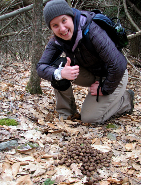
On the way back we shared the trail with a crapping moose.
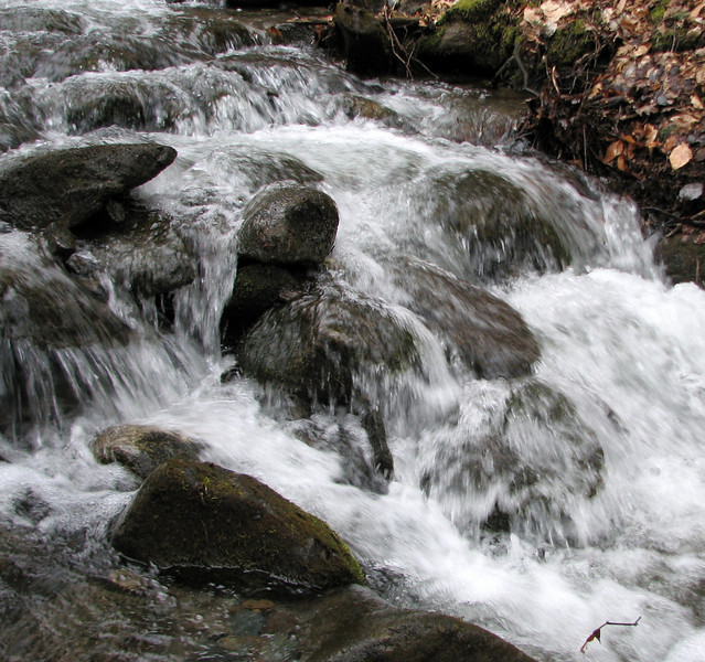
Some nice cascading water
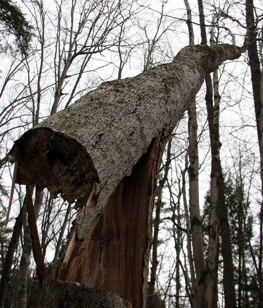
This will not end well.
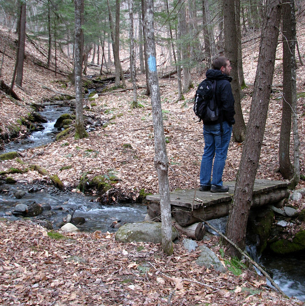
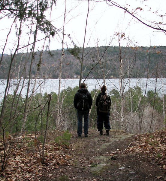
Almost back, we get a viewpoint of Lake Morey...candid
Is is really spring?
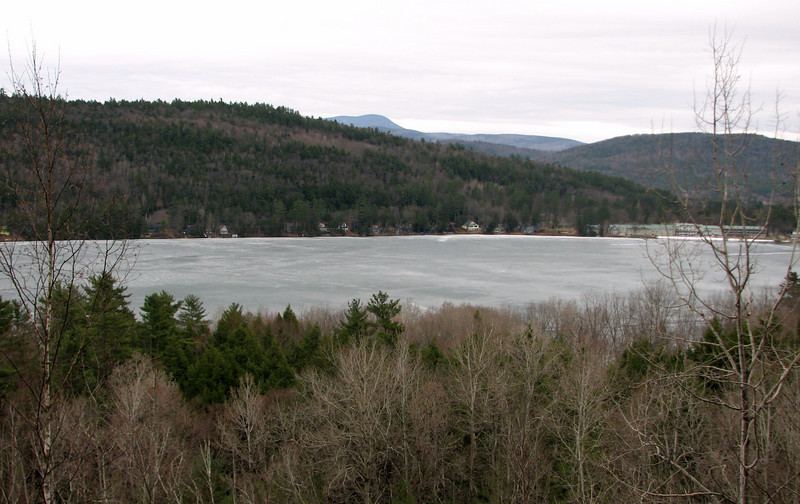
Soon thereafter, we were at the bottom, ready to head over to Subway for a nourishing meal.
After that, we drove back to pick up the other car on Bloodbrook rd, right before the precip started, which by the way was in the form of snow and sleet. That would have been awful to hike thru with all that cold wind.
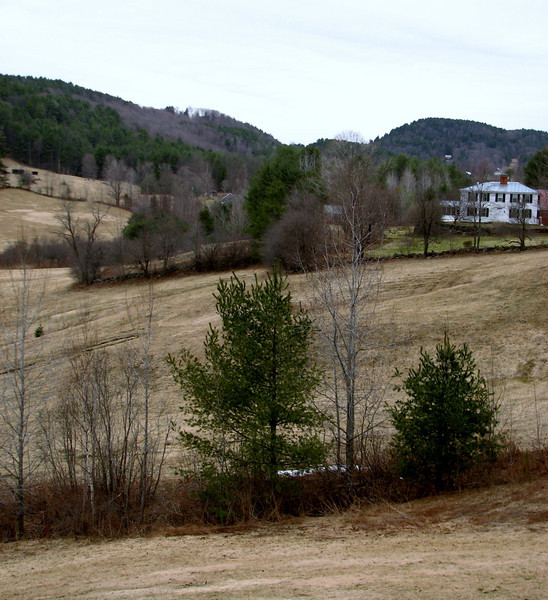
One more shot, of what was a nice view along Bloodbrook Rd, but I assume will be much prettier in another 2-3 weeks.
Enjoy!!
grouseking
First, the beginning of the trail. Nice blaze..THAT-A-WAY to Fairlee!

So off we went, yapping because some of us hadn't seen each other in almost two years. It was great to catch up for sure. We kept on along the snowmobile path, till we reached a point where there was a branch off. There were no blazes anywhere, but the way to the right looked more like a trail. In fact, further up there were little rock steps, so I thought we were goin the correct way. So off we went, up the steep incline till we reached a point where the trail turned sharp left. It was at this point where we saw two white tailed deer hopping out of our way at about 500 mph. First deer of the season!
Anyways, the read Cross Rivendell trail parallels the summit of Bald top for awhile, much like the snowmobile trail we were on yesterday, so I didn't think any differently. In fact, we were pretty much at the same elevation too. But then, the trail ended near some private property, and another path looped around, and down the hill in another direction. Whoops. Time to turn around. I felt bad for us going the wrong way, but everyone was having a great time.

Ooh, and some neat tree fungus too.

Back down we went till we got back to the snowmobile trail junction, where we ate some lunch. I had a feeling that the actual trail was further back closer to the car, but we decided to head up another trail, right up a very steep side of the mountain, and see if, with a little luck, we might cross the trail. I was having my doubts after awhile, since I was pretty tired going up and down all the time. But, Casey, the energizer bunny of the group ran up ahead and came down, telling us there were blue blazes!! So up we went till we hit the trail.
Now...do we go left, or right? We didn't know exactly where we were, but decided to head right. I ran up ahead to see if there were any clues. A few minutes later...this.

Another sign said we were 2.3 miles from Lake Morey, which means we actually had passed the summit we were looking for! At that point, a decision was made, to forgo the top, and just head back to the car on the lake side. Mainly because we knew the weather would be going to crap later, and the wind was already pretty fierce. And the temps were only in the upper 30s. It def did not feel like spring yesterday!
So off we went down the trail. Of all the blazes we missed earlier when we got off the trail, they made up for it on this section...blue blazes every other tree. Well at least us loudmouths could follow it easy enough.
On the way back we shared the trail with a crapping moose.

Some nice cascading water

This will not end well.


Almost back, we get a viewpoint of Lake Morey...candid

Is is really spring?

Soon thereafter, we were at the bottom, ready to head over to Subway for a nourishing meal.
After that, we drove back to pick up the other car on Bloodbrook rd, right before the precip started, which by the way was in the form of snow and sleet. That would have been awful to hike thru with all that cold wind.
One more shot, of what was a nice view along Bloodbrook Rd, but I assume will be much prettier in another 2-3 weeks.

Enjoy!!
grouseking
