Jazzbo
Well-known member
- Joined
- Jan 1, 2005
- Messages
- 1,199
- Reaction score
- 171
After a hard day hiking in the rain on Saturday, Paradox and I needed something easy to do before we made our respective rides homeward. Here is nice photo of East Kennebago taken from Rt 16 looking mighty good in early morning sunshine.

It's a splendid sunny morning as we drive up the logging roads and park at the last big fork at approx. 2500' elevation. Note we have good supply of the hiker's friend PBR.
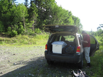
The logging roads are in good condition and easy for SUV's and amenable to compact cars if one travels with care. We head up right hand fork of the logging road going in easterly direction.
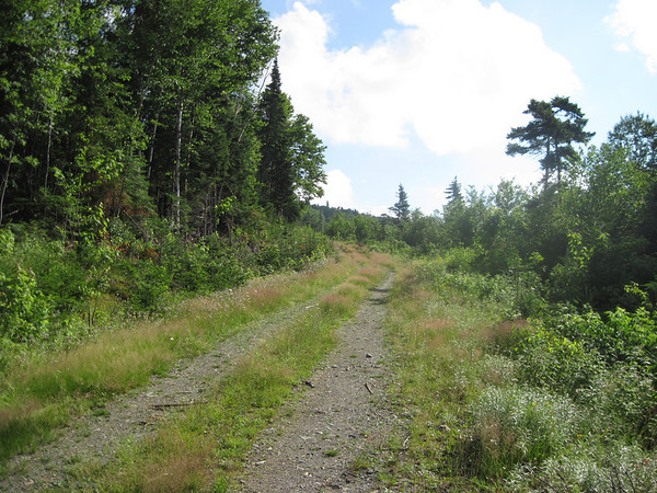
We cross a brook, and shortly after which the logging road becomes much less traveled and tree canopy closes in over the road. The tree canopy provides some welcome cool shade after walking in the open sunshine on this warm south facing slope.
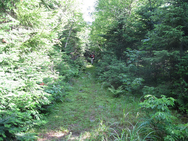
The road becomes narrower as we continue along. After crossing a succession of blow-downs, we encounter the boundary line at 2950' elevation. It's marked by small cairn on left and yellow pole on the right. The boundary line is easy to follow initially and passes through fairly open spruce forest.
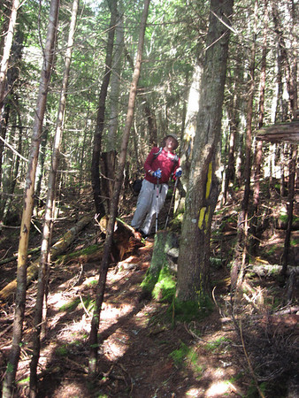
but is occasionally obscured by blow-downs as it begins to top out at 3300' elevation. A fairly distinct herd path attacks the slope directly. The climb is steep, but forest is mostly open and footing is excellent.
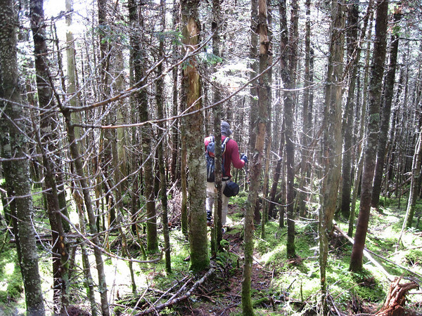
The herd path crosses a few blow down patches where it is easy to lose the herd path, but we managed to pick it up every time and were shortly at the top where we found the cannister right away. Return was easy and quick. Whole excursion took 2.5 hours RT.

It's a splendid sunny morning as we drive up the logging roads and park at the last big fork at approx. 2500' elevation. Note we have good supply of the hiker's friend PBR.

The logging roads are in good condition and easy for SUV's and amenable to compact cars if one travels with care. We head up right hand fork of the logging road going in easterly direction.

We cross a brook, and shortly after which the logging road becomes much less traveled and tree canopy closes in over the road. The tree canopy provides some welcome cool shade after walking in the open sunshine on this warm south facing slope.

The road becomes narrower as we continue along. After crossing a succession of blow-downs, we encounter the boundary line at 2950' elevation. It's marked by small cairn on left and yellow pole on the right. The boundary line is easy to follow initially and passes through fairly open spruce forest.

but is occasionally obscured by blow-downs as it begins to top out at 3300' elevation. A fairly distinct herd path attacks the slope directly. The climb is steep, but forest is mostly open and footing is excellent.

The herd path crosses a few blow down patches where it is easy to lose the herd path, but we managed to pick it up every time and were shortly at the top where we found the cannister right away. Return was easy and quick. Whole excursion took 2.5 hours RT.
Last edited:
