Jazzbo
Well-known member
- Joined
- Jan 1, 2005
- Messages
- 1,199
- Reaction score
- 171
Earlier this year we did a traverse of the ridge between Tecumseh and Welch Dickey. I liked the ridge so much I became obsessed with returning to the ridge via another route this time ascending from Dickey TH and doing away with the car spot. I devised a Welsh-Dickey super-loop, of sorts - over 10 miles long with the majority comprising herd paths and bushwhacking, with a substantial portion of the latter through thick spruce. Starting like all the rational hikers from the Welch-Dickey lot, we followed the bike path through Dickey Notch to an informal trail that led us to Fisher, following fine view ledges up to its summit.
Here's a snap shot of Amicus looking up on one particularly large slab.
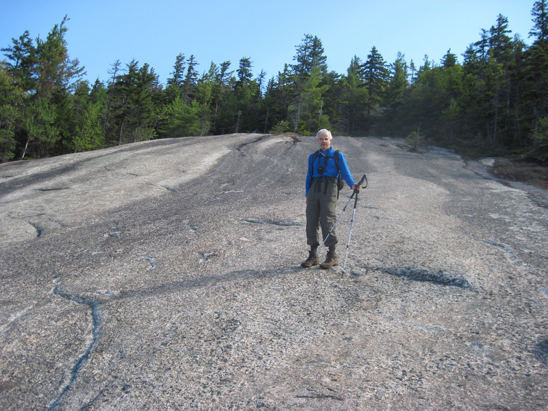
And here is snap shot from same spot looking down same slab with view of Mill Brook Valley below. BTW I should empahasize these slabs are pretty steep and could be hazardous if wet or icy.
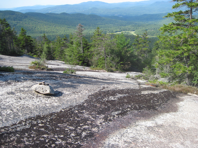
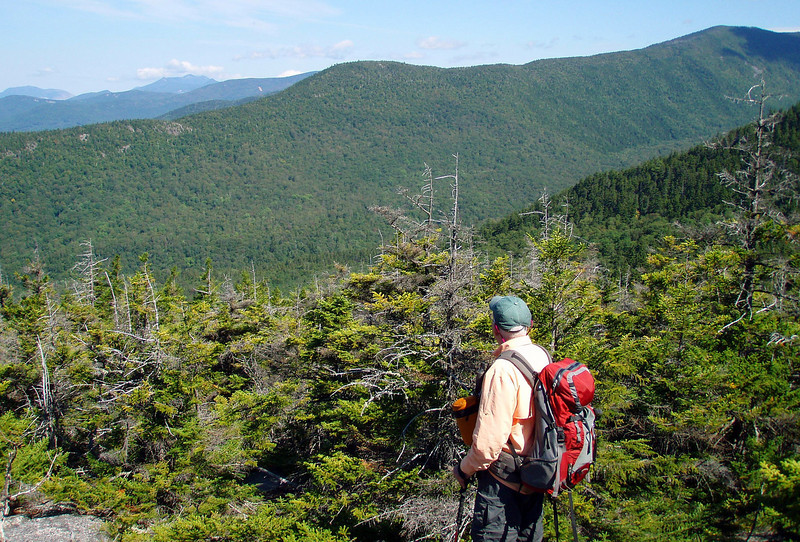
That's where your 'whacking begins. It wasn't too bad, as thick spruce and scrub alternated with refreshing stretches of ledge with novel views. Here is nice view of Bald Mountain ridge overlooking the valley of Hazelton Brook. Gee there's a trail comes up from Tipoli Road up to West Tecumseh. Humm! Could this be another obsession for next year?
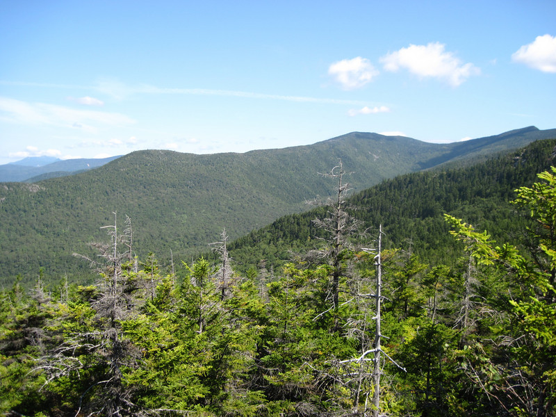
We passed through the saddle between the two Hogbacks, skirted Green's "west pinnacle" to the north and had no trouble finding the summit of Green, which is among the 24 elite NE3K Formerly Listed Peaks. (That is a much more select fraternity than the 453 Listed Peaks,)
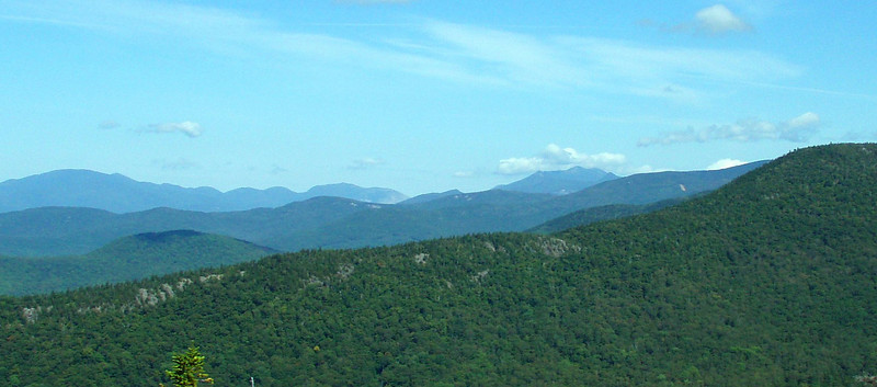
From there, we followed herd paths south to Foss Mtn, (x3312 on maps) and from there to Dickey, from which we took the popular Loop trail back to our car. Here is view of Welch & Dickey from Foss.
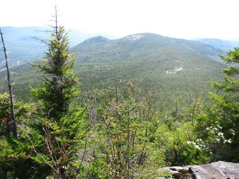
We had a perfect, cloudless day for this long but rewarding innovation. Thanks Amicus for joining me on this interesting loop! We made a good navigation team.
Here's a snap shot of Amicus looking up on one particularly large slab.

And here is snap shot from same spot looking down same slab with view of Mill Brook Valley below. BTW I should empahasize these slabs are pretty steep and could be hazardous if wet or icy.

That's where your 'whacking begins. It wasn't too bad, as thick spruce and scrub alternated with refreshing stretches of ledge with novel views. Here is nice view of Bald Mountain ridge overlooking the valley of Hazelton Brook. Gee there's a trail comes up from Tipoli Road up to West Tecumseh. Humm! Could this be another obsession for next year?

We passed through the saddle between the two Hogbacks, skirted Green's "west pinnacle" to the north and had no trouble finding the summit of Green, which is among the 24 elite NE3K Formerly Listed Peaks. (That is a much more select fraternity than the 453 Listed Peaks,)
From there, we followed herd paths south to Foss Mtn, (x3312 on maps) and from there to Dickey, from which we took the popular Loop trail back to our car. Here is view of Welch & Dickey from Foss.

We had a perfect, cloudless day for this long but rewarding innovation. Thanks Amicus for joining me on this interesting loop! We made a good navigation team.
Last edited:

