grouseking
Well-known member
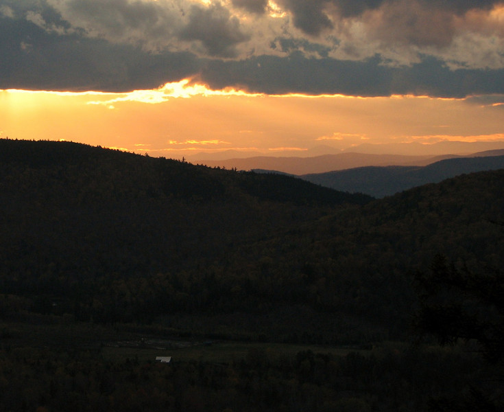
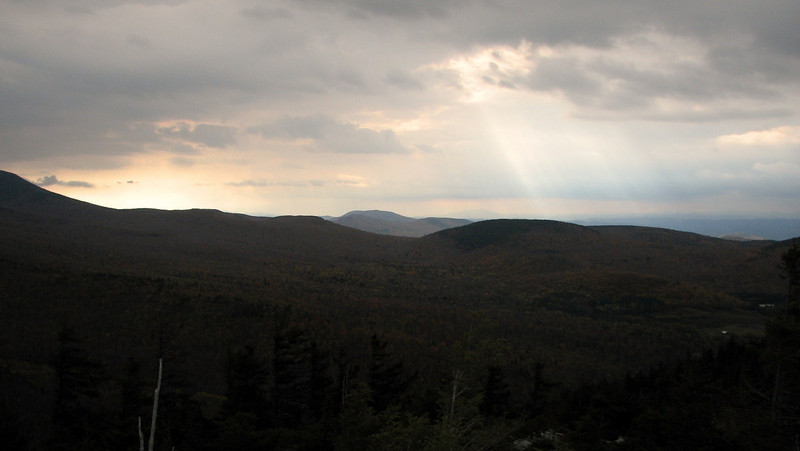
Sunset on the way Back
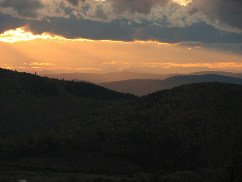
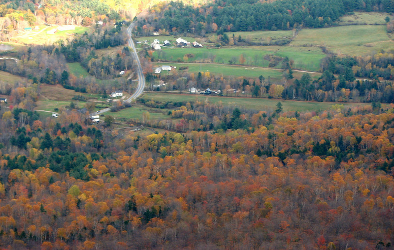
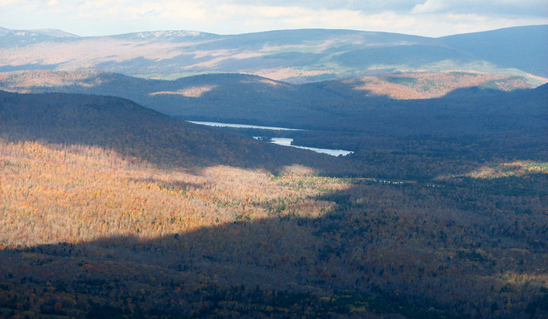
The pic from above was prob my favorite shot from the day, so that means I had to wait all day to get it. It just reminds me that the best times to hike these peaks are when the light is lower. Anyways
My friend and Casey and I hiked Mt Cube via the Kodak trail Sunday, and we were treated to many Kodak moments, from the Eastman Ledges all the way up to the summit and beyond. I visited the north summit for the first time, and in my opinion has the best vistas on that peak. On the other side of this, I was battling dehydration the entire hike, so that definitely got in the way. Muscles were cramping up just before I summited, and reached an all time high on the way down. So I wasn't able to fully enjoy the woods to the top, or on the way down, but there is always next time, right?
Trail conditions were wet and muddy. The rocks were quite slick, especially after we had a downpour, mixed with some sleet and snow as we got towards 2500 feet. Thankfully we were still heading up at that point, and not sliding down the rocks. I also saw my first teeny patches of snow, something quite exciting to me! Anyways, here come the pics.
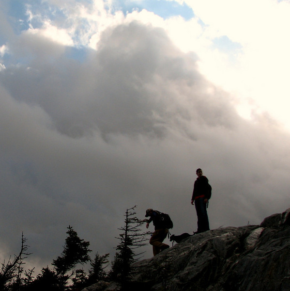
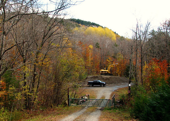
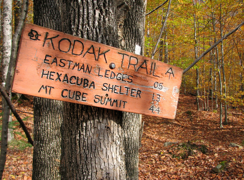
Off we go..mileage to summit is def incorrect, I estimate closer to 3 miles
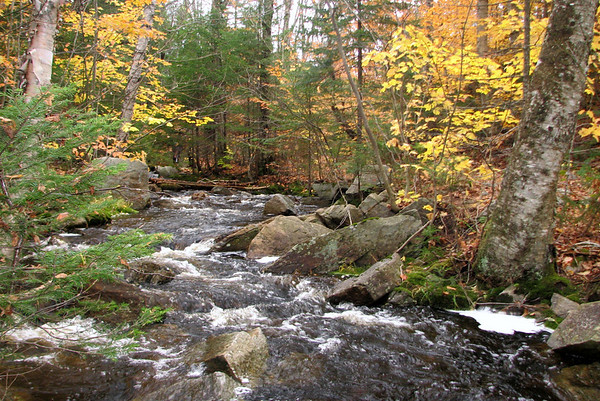
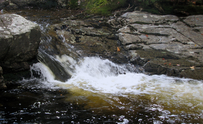
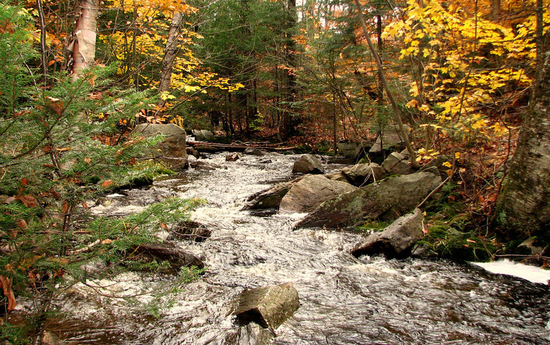
Jacobs brook was RUNNING yesterday, and you could hear it roar across the mtns
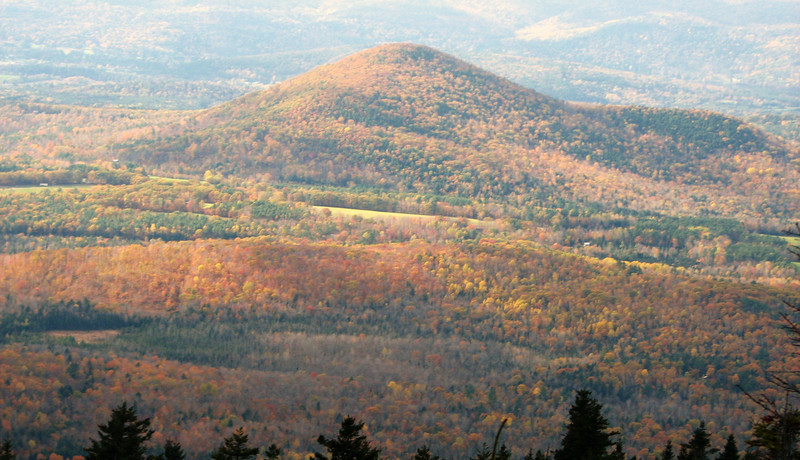
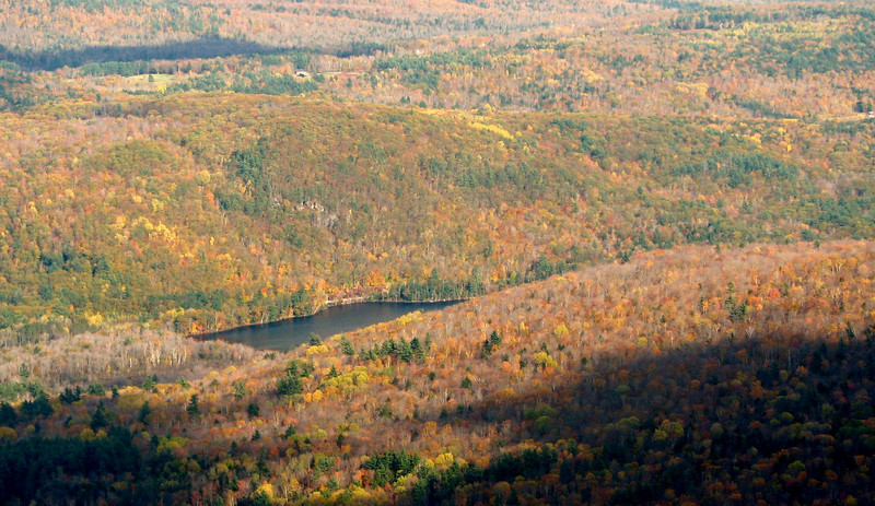
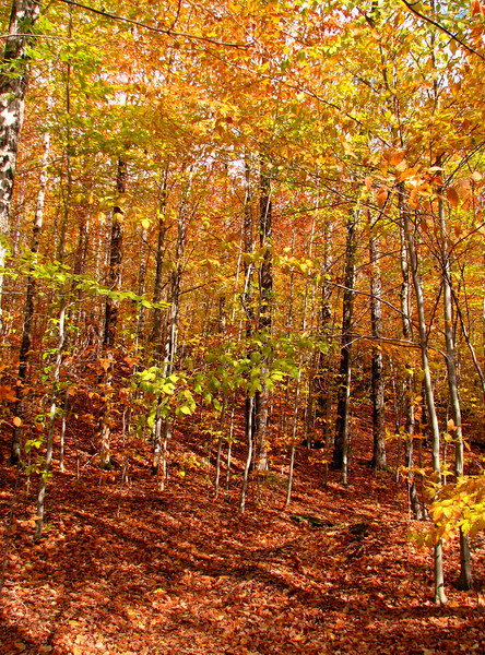
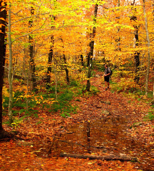
My fav time of year to hike in the hardwoods...its past peak, but the lower parts of trees still have the golden leaves.
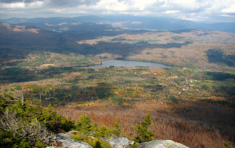
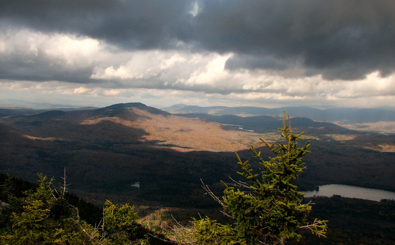
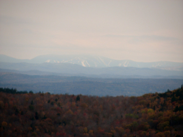
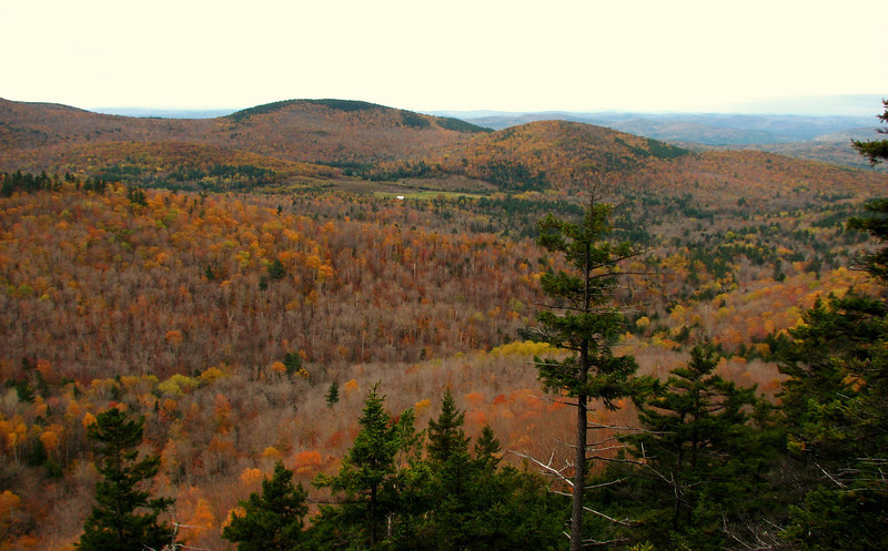
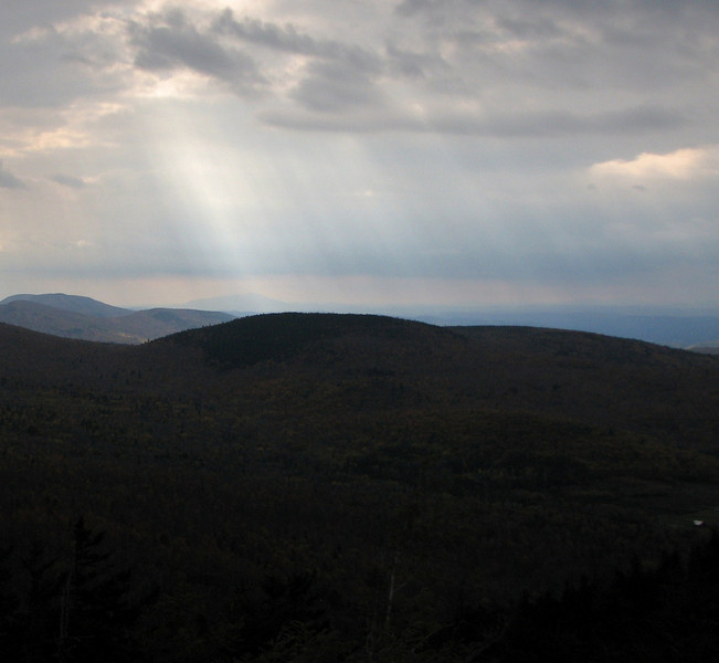
Same vantage point as the first pic, just earlier in the day. Interesting to compare...
Casey with wet trail
High, but fairly easy brook crossing, considering. It was harder on the way back, due to the angle of the rock steps
.
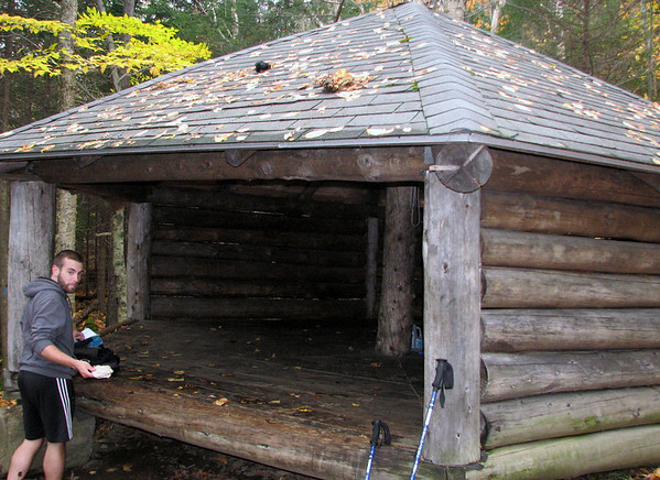
We decided to eat lunch at Hexacuba Shelter, the only 6 sided shelter I've ever seen.
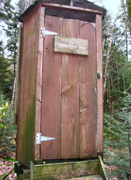
Complete with a Penta privy....the only 5 sided pooper I've ever seen. I find it unsettling that this is above the shelter, next to a stream.
Off we went, and I was getting real dehydrated at this point. Such is life with medications that drop the salt level. I was bleary eyed and tried, but one foot in front of the other right? I guess I'm going to take more of those power gels, they seemed to work on other hikes.
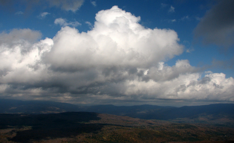
Next ledges: I came to mentally, to get a couple interesting crepuscular ray shots.
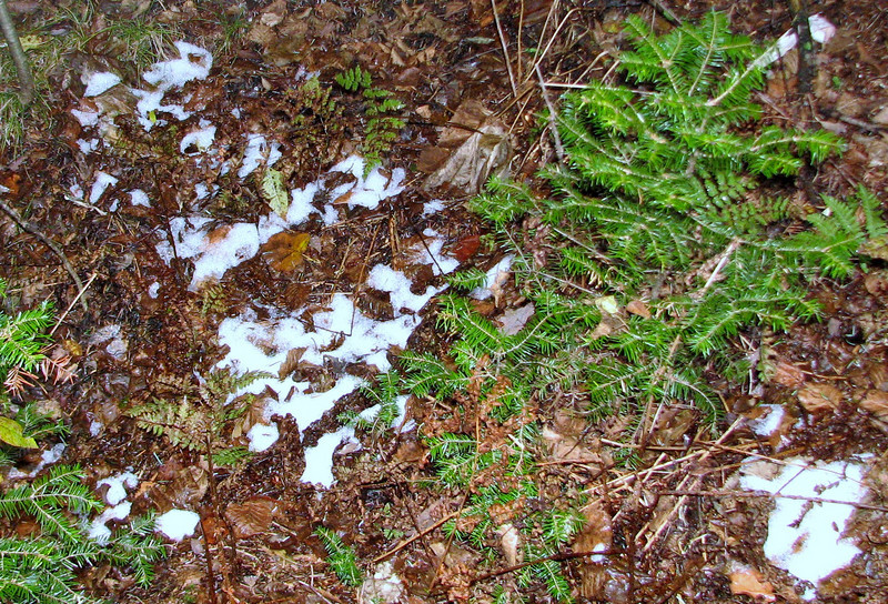
Back into the woods....first snow! Not much, but that def brought me back from the mental and physical anguish haha.
cont in a minute
The pic from above was prob my favorite shot from the day, so that means I had to wait all day to get it. It just reminds me that the best times to hike these peaks are when the light is lower. Anyways
My friend and Casey and I hiked Mt Cube via the Kodak trail Sunday, and we were treated to many Kodak moments, from the Eastman Ledges all the way up to the summit and beyond. I visited the north summit for the first time, and in my opinion has the best vistas on that peak. On the other side of this, I was battling dehydration the entire hike, so that definitely got in the way. Muscles were cramping up just before I summited, and reached an all time high on the way down. So I wasn't able to fully enjoy the woods to the top, or on the way down, but there is always next time, right?
Trail conditions were wet and muddy. The rocks were quite slick, especially after we had a downpour, mixed with some sleet and snow as we got towards 2500 feet. Thankfully we were still heading up at that point, and not sliding down the rocks. I also saw my first teeny patches of snow, something quite exciting to me! Anyways, here come the pics.
Off we go..mileage to summit is def incorrect, I estimate closer to 3 miles
Jacobs brook was RUNNING yesterday, and you could hear it roar across the mtns
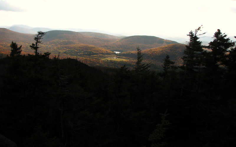
My fav time of year to hike in the hardwoods...its past peak, but the lower parts of trees still have the golden leaves.
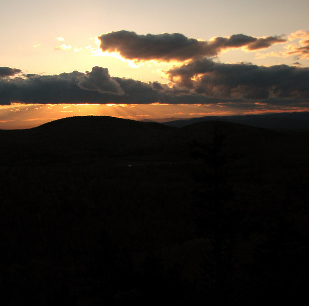
Same vantage point as the first pic, just earlier in the day. Interesting to compare...
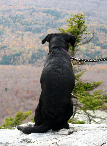
Casey with wet trail
High, but fairly easy brook crossing, considering. It was harder on the way back, due to the angle of the rock steps
.
We decided to eat lunch at Hexacuba Shelter, the only 6 sided shelter I've ever seen.
Complete with a Penta privy....the only 5 sided pooper I've ever seen. I find it unsettling that this is above the shelter, next to a stream.
Off we went, and I was getting real dehydrated at this point. Such is life with medications that drop the salt level. I was bleary eyed and tried, but one foot in front of the other right? I guess I'm going to take more of those power gels, they seemed to work on other hikes.
Next ledges: I came to mentally, to get a couple interesting crepuscular ray shots.
Back into the woods....first snow! Not much, but that def brought me back from the mental and physical anguish haha.
cont in a minute