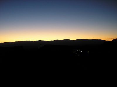
This was a joint Los Alamos Mountaineers/Sierra Club trip to Santa Fe Baldy, but it seemed I was the only one from the Hill going. After a quick breakfast I set out on my own about 6 to head into Santa Fe. The alpenglow over the Sangres compelled a stop at the overlook for a quick picture.
Several of us met on the north end of town, consolidated cars, and drove up to the (10,000' base) ski area, where we met the rest of the party. The first part of the route is a steady switchbacked climb to the Pecos wilderness boundary, which although not steep is fairly annoying without warming up. One hiker's pack had a 46er patch and, after striking up a conversation, I learned she was actually a 115 finisher (and a winter 46er), so we talked New England for a good chunk of the way up.
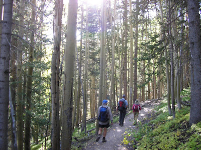
After passing the wilderness boundary, the trail descends very gradually about 500' over nearly two miles, very smooth and easy. The descent is not really noticeable on the way in. This section is cut into the side of an occasionally steep slope covered with aspen, very pretty even though the color is only starting.
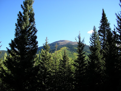
We bottomed out at the Lake Nambe outflow and began an equally gentle ascent, finally getting the first view of our destination.
We reached the meadow of Puerto Nambe, about 4 miles in, after only about two hours on trail. After a solid break, the route forks off onto a different trail and begins climbing to the southeast ridgeline of SF Baldy. This is still quite gradual, with a few switchbacks near the top and a nice view back to Raven's Ridge, skirted by the trail in.
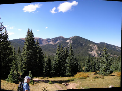
The trail reaches the ridgeline at a flat col with great views north into the Pecos.
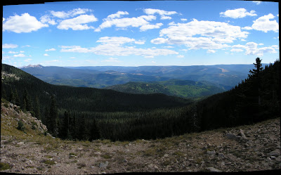
Perfect weather holding, we turned off trail to the climber's route and began the true ascent.
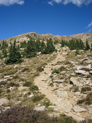
This was a little rougher trail but still excellent by, say, New England standards. Keeping a steady pace, I didn't feel the elevation except for the last push up onto the tableland.
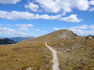
About four hours from the trailhead, we reached the summit.
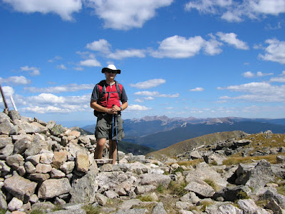
We settled in for an enjoyable summit stay and ran up a bunch of photos. I tried to get a picture of Los Alamos, which didn't turn out as well as the view in person.
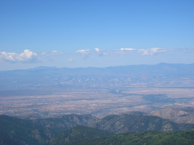
The Jemez mountains proper are in the background, remnants of a supercaldera. Volcanic flows formed the Pajarito plateau, which is now canyon-cut into a set of finger mesas where Los Alamos sits. (Much like the Catskills, really.) Below that is the broad Rio Grande valley.
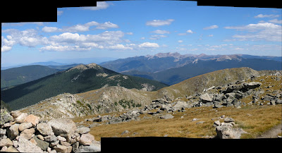
Much clearer views were to be had north:
and down into Lake Katherine:
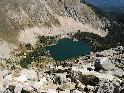
I think these alpine lakes are one thing for which there is simply no equivalent in New England.
I'm guessing we spent 45 minutes on the summit before descending. Maybe the sun was higher or maybe some leaves really did change during the day.
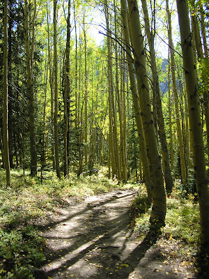
That 500' descent on the way in turned into a 500' climb that was far more obvious on the way out. Not particularly bad, just tedious. Eventually we passed back out through the Wilderness fence and back to the cars, about eight hours round trip. I got some shopping done in town and was back home for dinner, and a Sierra Nevada 30th anniversary bock.
Approximately 14mi and 3000', and a great trip for my first serious hike since moving. Full album here.

Several of us met on the north end of town, consolidated cars, and drove up to the (10,000' base) ski area, where we met the rest of the party. The first part of the route is a steady switchbacked climb to the Pecos wilderness boundary, which although not steep is fairly annoying without warming up. One hiker's pack had a 46er patch and, after striking up a conversation, I learned she was actually a 115 finisher (and a winter 46er), so we talked New England for a good chunk of the way up.
After passing the wilderness boundary, the trail descends very gradually about 500' over nearly two miles, very smooth and easy. The descent is not really noticeable on the way in. This section is cut into the side of an occasionally steep slope covered with aspen, very pretty even though the color is only starting.

We bottomed out at the Lake Nambe outflow and began an equally gentle ascent, finally getting the first view of our destination.

We reached the meadow of Puerto Nambe, about 4 miles in, after only about two hours on trail. After a solid break, the route forks off onto a different trail and begins climbing to the southeast ridgeline of SF Baldy. This is still quite gradual, with a few switchbacks near the top and a nice view back to Raven's Ridge, skirted by the trail in.

The trail reaches the ridgeline at a flat col with great views north into the Pecos.

Perfect weather holding, we turned off trail to the climber's route and began the true ascent.

This was a little rougher trail but still excellent by, say, New England standards. Keeping a steady pace, I didn't feel the elevation except for the last push up onto the tableland.

About four hours from the trailhead, we reached the summit.

We settled in for an enjoyable summit stay and ran up a bunch of photos. I tried to get a picture of Los Alamos, which didn't turn out as well as the view in person.

The Jemez mountains proper are in the background, remnants of a supercaldera. Volcanic flows formed the Pajarito plateau, which is now canyon-cut into a set of finger mesas where Los Alamos sits. (Much like the Catskills, really.) Below that is the broad Rio Grande valley.
Much clearer views were to be had north:

and down into Lake Katherine:

I think these alpine lakes are one thing for which there is simply no equivalent in New England.
I'm guessing we spent 45 minutes on the summit before descending. Maybe the sun was higher or maybe some leaves really did change during the day.

That 500' descent on the way in turned into a 500' climb that was far more obvious on the way out. Not particularly bad, just tedious. Eventually we passed back out through the Wilderness fence and back to the cars, about eight hours round trip. I got some shopping done in town and was back home for dinner, and a Sierra Nevada 30th anniversary bock.
Approximately 14mi and 3000', and a great trip for my first serious hike since moving. Full album here.
