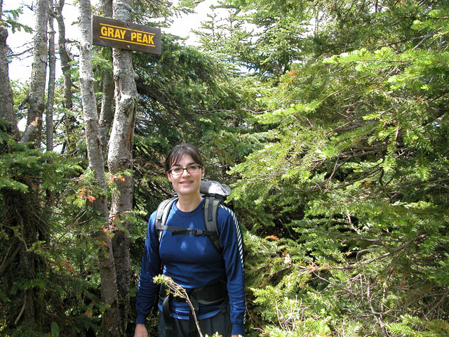
I'm making plans to do Skylight and Gray as a day hike and am trying to decide which route to take – from Loj, UW or Elk Lake.
The distance from the Loj is about 2 miles less than from Upper Works or Elk Lake. Is one route more scenic than the other? Is ascent comparable on all three? I've read that the start from UW is relatively flat and I know that the first couple of miles into Marcy Dam are the same.
Does the Loj parking lot ever fill on summer weekends? I’m thinking that parking won’t be a problem at UW or Elk Lake, right?
Which day hike route do you like the best to Skylight and Gray?


![Grand Teton Day Hikes and National Park Map [Map Pack Bundle] (National Geographic Trails Illustrated Map)](https://m.media-amazon.com/images/I/41DB0jvRnbL._SL500_.jpg)


![Yellowstone National Park [Map Pack Bundle] (National Geographic Trails Illustrated Map)](https://m.media-amazon.com/images/I/51kGuJ72qjL._SL500_.jpg)


![Grand Canyon, North and South Rims [Grand Canyon National Park] (National Geographic Trails Illustrated Map)](https://m.media-amazon.com/images/I/419Y-ycyVUL._SL500_.jpg)