Waterville Wanderings and Tecumseh Turkey Burner

vftt.org

Help Support vftt.org:

This site may earn a commission from merchant affiliate links, including eBay, Amazon, and others.

Becca M

Active member
Joined
Jan 31, 2008
Messages
854
Reaction score
103
Location
Pelham & Bristol, NH
11/24/11 Got an early turkey burn on Tecumseh and a then scouting trip near the Livermore Depot Parking area. Pulled into ski area parking just as Jim T was pulling in so we decided to join forces to conquer Tecumseh ☺. We decided to bareboot the lower portion of the Mt Tecumseh Trail… woods were beautiful with a fresh new coat of fluffy powder – WOW!!!!
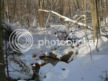
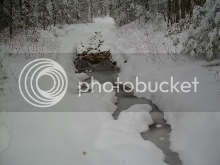
DSCN2148-tecumsehstream-shrunk.jpg


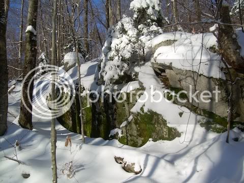
DSCN2151-tecumsehrock-shrunk.jpg


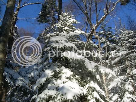
Early Chrismas tree:
DSCN2152-christmastree-shrunk.jpg


At the outlook… must be Jr’s tracks from the night before!!!
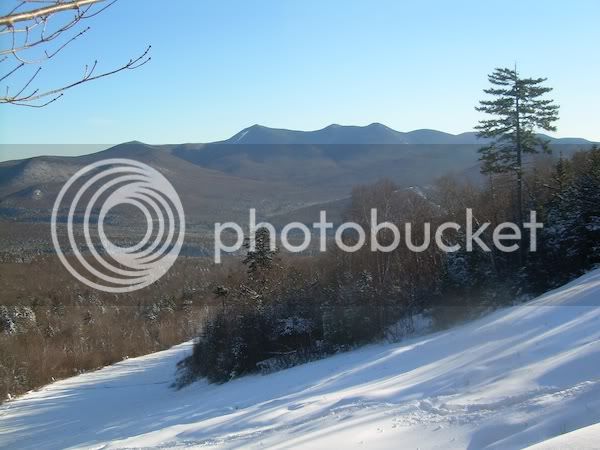
DSCN2157-jeremyfootprints-shrunk.jpg


We put on snowshoes about halfway up above the viewpoint – MUCH easier going. We also met other VFTTer’s up there – nice to meet you!!!!
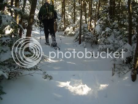
DSCN2164-firstsnowshoeingofyear-shrunk.jpg


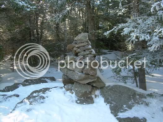
The obligatory summit cairn photo:
DSCN2165-summitcairn-shrunk.jpg


We guessed these were coyote tracks – they seemed to float on the fresh snow. There was about 4.5’ between footprints – maybe he/she was leaping?

DSCN2163-animalfootprints-shrunk.jpg


After the summit we took the Sosman Trail to the top of the ski area and saw more Christmas Trees:
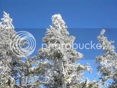
DSCN2168-pinesattop-shrunk.jpg


We snowshoed across to the top of a chairlift – interesting shadows:
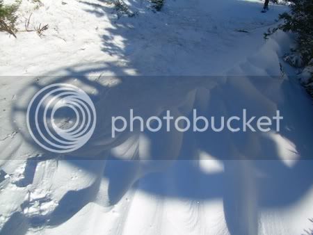
DSCN2169-chairliftshadow-shrunk.jpg


The descent was fairly easy on beautifully groomed ski trails. Ski Patrol greeted us on a skimobile and said a friendly hi!!! Awesome views into the valley from there!!! Almost ready for opening day Friday!!!!
 
Last edited:
continued

After back at the car I said my goodbyes to Jim and the people we met up with along the way and I headed over (via car) to Livermore Rd/Depot Camp. That lot was unplowed but AWD seemed to work OK. I switched from winter hiking boots to 3-pin leather ski boots and my favorite all-purpose XC skis and headed out Livermore Rd. Now, I know Greeley Ponds Trail from the south is “closed” but I just had to see for myself what was going on. That “WAS” one of my favorite out-and-backs prior winters. I wasn’t “actually” on the trail since I was on snow or off to the side (bushwhacking around so many obstacles ;)) I never did get as far as the bridges, so I have no idea what shape they are in.

From the looks of things (I only got maybe ½ mi up the trail) – who knows if it will EVER reopen ☹ WAAAAAH!

Looking at one of the many washouts:
DSCN2173-greeleywashout-shrunk.jpg


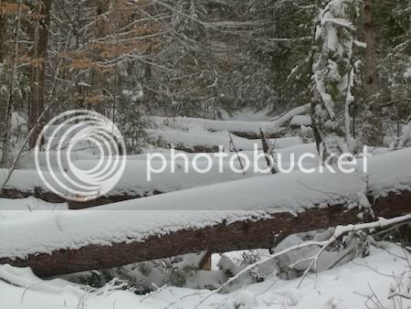
About as far as I got – there are so many huge blowdowns – it’s just crazy!!!
DSCN2174-greeley-logsacross-shrunk-1.jpg


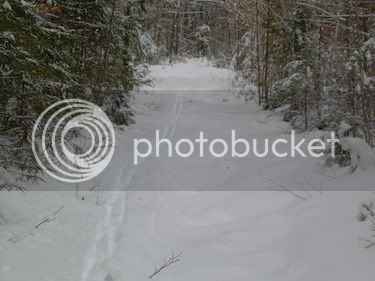
Only one set of ski tracks – off to the side:
DSCN2175-greeleyskitracks-shrunk.jpg


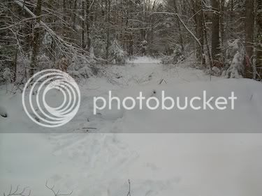
And a typical washout – these are at regular intervals:
DSCN2176-gettingupovergulley-shrunk.jpg


It’s just amazing – I am hopeful I will get to make another run down this someday unimpeded – but who knows…….
 
Last edited:
From the looks of things (I only got maybe ½ mi up the trail) – who knows if it will EVER reopen ☹ WAAAAAH!
I was wondering what lay beyond the yellow tape... Bummer!
Thanks for the report.

It’s just amazing – I am hopeful I will get to make another run down this someday unimpeded – but who knows…….
Me too--the loop via Kanc Brook Ski Tr (starts up S. Greely Pond Tr) is one of my favorites...

When we hiked the Tripyramids (http://www.vftt.org/forums/showthread.php?t=42281) I scouted Livermore Rd for damage--there were some badly eroded sections but IIRC no blowdowns. (Didn't check above the turn-off to N Tripyramid Slide.) It should be skiable.

Deep snow can cover a multitude of problems.

Doug
 
I was wondering what lay beyond the yellow tape... Bummer!
Thanks for the report.


Me too--the loop via Kanc Brook Ski Tr (starts up S. Greely Pond Tr) is one of my favorites...

When we hiked the Tripyramids (http://www.vftt.org/forums/showthread.php?t=42281) I scouted Livermore Rd for damage--there were some badly eroded sections but IIRC no blowdowns. (Didn't check above the turn-off to N Tripyramid Slide.) It should be skiable.

Deep snow can cover a multitude of problems.

Doug
HI Doug! I was hoping to finally get to the Kanc Brook this year... may have to wait a while longer!!!! Deep snow will DEFINITELY be required!!!! How likely would it be to get a good 4' base? Feb may be doable? I always try for these crazy things in December and it's totally different in Feb.....
 
HI Doug! I was hoping to finally get to the Kanc Brook this year... may have to wait a while longer!!!! Deep snow will DEFINITELY be required!!!! How likely would it be to get a good 4' base? Feb may be doable? I always try for these crazy things in December and it's totally different in Feb.....
There is still the possibility of approaching from the north via the GPT or above via Livermore Rd/Tr. The WMNF trail conditions page says the trail is open from from the Kanc to the Lower (southern) Pond. The Livermore Tr (a bit difficult for skiing from the N) is also open. The Flume Path is listed as closed due to flood damage.

I seem to remember a trip report where someone came in from the N on GPT? as far as the Flume Path. I am unable to find it, but I'll look a bit more.

Unfortunately there is no loop--the only possibilities are a traverse or an out-and-back.

I'm glad that I got to repeat the loop last winter before Irene messed things up. (My accident occurred on the loop a short distance S of the junction of Livermore Rd and the Flume Slider Path.)

Doug
 
Last edited:
I seem to remember a trip report where someone came in from the N on GPT? as far as the Flume Path. I am unable to find it, but I'll look a bit more.
Found the report: http://www.vftt.org/forums/showthread.php?t=41990

Route explored:
* Livermore Rd to
* Kettle Path to Scaur Peak Trail.
* Cross Mad River to Greeley Pond Tr
* Greeley Pond Trail north as far as Flume Brook Path.
* (this junction is very close to the junction with the Kanc Brk Tr)

I don't know how skiable the Kettle Path and the Scaur Peak Tr might be. It does involve crossing the Mad River.

Doug

Hi Doug, Thanks for the search! From this summer, I recall thinking Kettles Path would be good skiing (I could be wrong), but Scaur Trail did not seem great to me... again, it all depends on the snow cover. I've never skied the north end of Livermore Trail, either - there are some rough spots there, too. But, with skins, all things are possible :) also, I forget where those bridges are - there could possibly be one in the area for crossing the mad river...
 
Hi Doug, Thanks for the search!
I made a mental note of the TR when I read it. Seemed like it might be useful info for me... Had to try several versions of the search to get around quirks in the search engine.

From this summer, I recall thinking Kettles Path would be good skiing (I could be wrong), but Scaur Trail did not seem great to me... again, it all depends on the snow cover.
I've never done either, however both are in the WMNF GPX tracks--I'll check to see what the map has to say.

I've never skied the north end of Livermore Trail, either - there are some rough spots there, too. But, with skins, all things are possible :)
DebW and I snowshoed most of it last winter two days before our Pemi-lollipop. I had been tempted to suggest that we ski it, but I'm glad we used snowshoes. There are some spots that I could skin up, but wouldn't want to ski down, even with my skins on. There is also a pitch where the trail angles up a steep hillside--it was dicey enough on MSR snowshoes and would have been side-stepping on skis (if it was wide enough...). http://www.vftt.org/forums/showthread.php?t=39478

also, I forget where those bridges are - there could possibly be one in the area for crossing the mad river...
Kanc Brk Tr leaves just N of Flume Brook. The bridge over Flume Brook is ~.2 mi N of the Knight Bridge (over the Mad River). It is about .4 mi farther S (from the Knight Br) to the junction with the Scaur Tr. (The Scaur Tr cuts off ~.7mi of the GPT.)

So it would be ~.4mi of bushwacking to get to the bridge, if one follows the river. The map suggests some shortcuts, but I have no idea if they would go.

The approach to Kanc Brk Tr from the top looks open and I've skied down it. However, I expect that the maintainer hasn't been in there since Irene and I have no idea what shape the trail might be in.

Doug
 
I've never done either, however both are in the WMNF GPX tracks--I'll check to see what the map has to say.
The steepest part of the Scaur Tr on the approach to Greeley Pond Tr is ~30% (17 deg) while the steepest part Kanc Brk Ski Tr is ~17% (10 deg).

Considering that it is a hiking trail rather than a ski trail, it could be rather "interesting". Or if you prefer, the approach would be a lot harder than the main event...

Doug
 
From the looks of things (I only got maybe ½ mi up the trail) – who knows if it will EVER reopen ☹ WAAAAAH!
The deadfalls may look bad if all you have is a folding saw but with a chainsaw they will go fast.

The erosion may be tough to fix with hand tools but that was once a gravel logging road and with heavy equipment would be no big deal - does the Forest get disaster funds for Irene repairs?

What you need to do is play on Molly's sense of guilt (if any) for closing one premier ski route and get her to promptly reopen another - no Wilderness excuses this time!

HAH!!!! The REALLY big irony of Molly's Folly is that now that the Pemi East Side will unlikely EVER get fixed, the kreosoted bridge remains may NEVER go away.... even if the funding for full removal hadn't run out, I cannot see how any type of pack animal would be able to bushwhack around the washouts.

Wasn't her statement during the hearing that she found the bridge, "Offensive"-- who wouldn't find the piles are lumber and cabling offensive now for the duration.... :confused:

Back to the subject: I don't think guilt will work.
 
Last edited:

Latest posts

Top