Jazzbo
Well-known member
- Joined
- Jan 1, 2005
- Messages
- 1,199
- Reaction score
- 171
Hiking and bush whacking with Mountain Wanderer Steve has been on my bucket list for long time. This snow shoe excursion to 9 year old slide that came down in 2011 during Tropical Storm Irene on spur ridge of West Sleeper was excellent combination of off trail and on trail navigation. We proved to make an excellent off-trail navigation team. It was great fun brainstorming together as we followed our route.
We managed to locate an old logging tote road on the east bank of Sabbaday Brook that showed up on LIDAR Imagery enabling us to skip number of dicey water crossings. We picked up the Sabbaday Brook Trail which is actually just an extension of the old road we'd been following. This old road at one time was used as a trail and shows up in some early editions of the White Mountain Guide.
Further up the valley we left the trail at site of former logging camp just above where hiking trail crosses Sabbaday Brook. The bottom of the slide is approximately 1/2 mile up tributary and head waters to Sabbaday Brook. We slabbed up the side of the tributary ravine until we came upon the tangled mass of trees in the slide run-out in the tributary brook and then dropped into the river bed where the going was pretty good. The view of slide was very impressive.
Steve first noticed the slide during a visit to nearby Potash Mountain not long after it came down and visited the slide in warm weather season and has climbed it. Conditions were good to climb the slide, but time didn't permit. We did go a short distance up the slide where we enjoyed a late lunch. We ended up having to don our head lamps for last 15 minutes before we popped out of the woods on east bank of Sabbaday Brook and Kancamagus Highway.
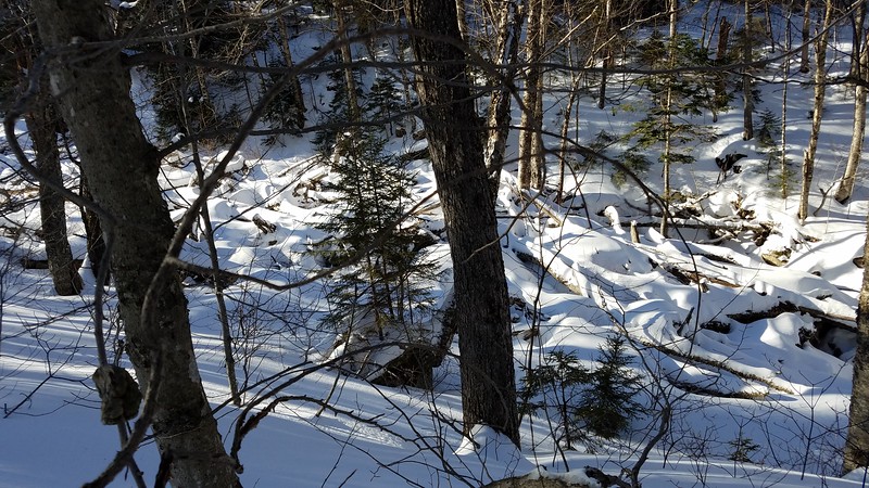
Here are some snap shots I took. Piles of trees at terminus of slide run out.

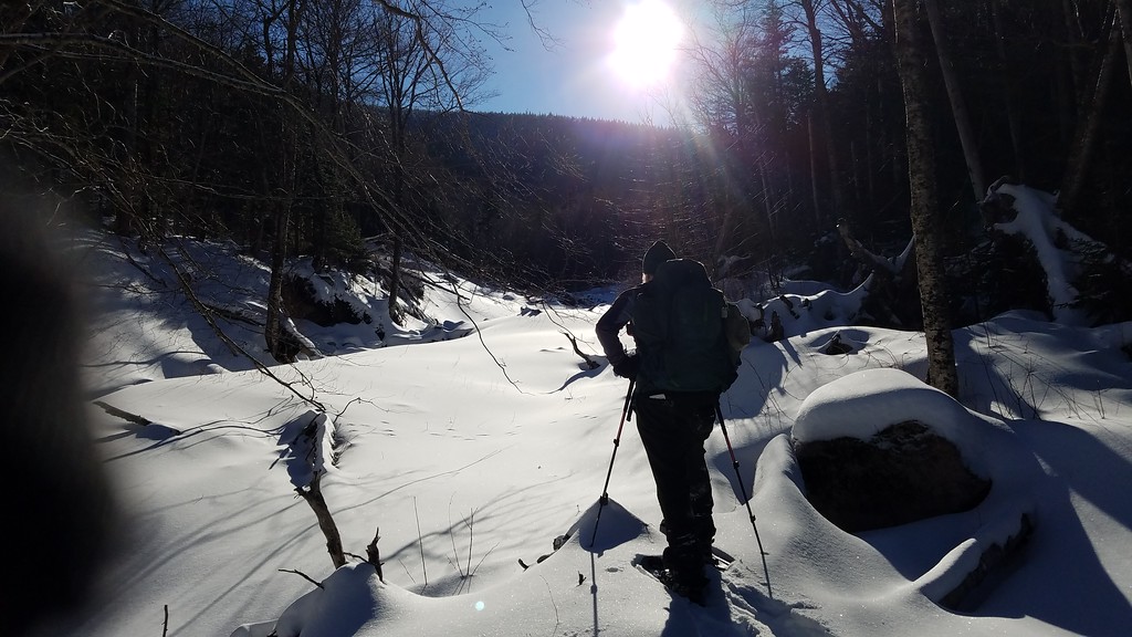
We dropped into the slide run-out where snow shoeing is better and head up the slide run out into the sun.

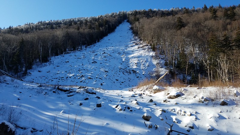
The slide comes into view. The slide is the gravel and rock rubble type and very steep. It takes a sharp turn to the left where it slammed into the river bed.

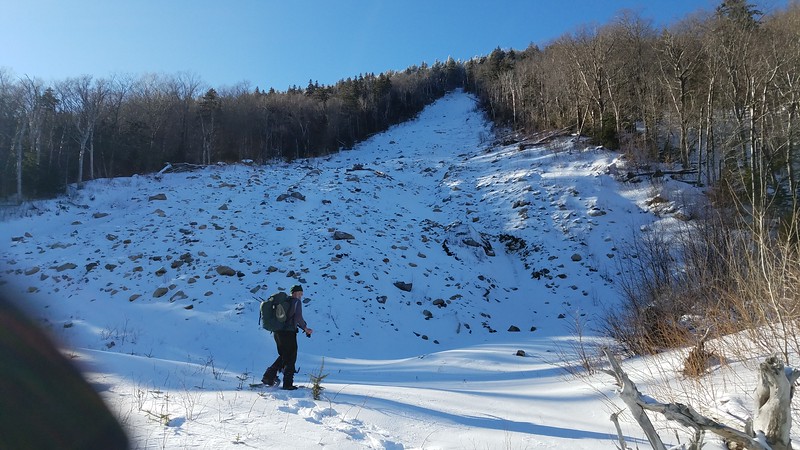
Helps to have human for scale. Pardon my finger in the corner of the photo.

We managed to locate an old logging tote road on the east bank of Sabbaday Brook that showed up on LIDAR Imagery enabling us to skip number of dicey water crossings. We picked up the Sabbaday Brook Trail which is actually just an extension of the old road we'd been following. This old road at one time was used as a trail and shows up in some early editions of the White Mountain Guide.
Further up the valley we left the trail at site of former logging camp just above where hiking trail crosses Sabbaday Brook. The bottom of the slide is approximately 1/2 mile up tributary and head waters to Sabbaday Brook. We slabbed up the side of the tributary ravine until we came upon the tangled mass of trees in the slide run-out in the tributary brook and then dropped into the river bed where the going was pretty good. The view of slide was very impressive.
Steve first noticed the slide during a visit to nearby Potash Mountain not long after it came down and visited the slide in warm weather season and has climbed it. Conditions were good to climb the slide, but time didn't permit. We did go a short distance up the slide where we enjoyed a late lunch. We ended up having to don our head lamps for last 15 minutes before we popped out of the woods on east bank of Sabbaday Brook and Kancamagus Highway.
Here are some snap shots I took. Piles of trees at terminus of slide run out.

We dropped into the slide run-out where snow shoeing is better and head up the slide run out into the sun.

The slide comes into view. The slide is the gravel and rock rubble type and very steep. It takes a sharp turn to the left where it slammed into the river bed.

Helps to have human for scale. Pardon my finger in the corner of the photo.

Last edited:
