AOC-1
Active member
- Joined
- Jan 27, 2005
- Messages
- 191
- Reaction score
- 43
Earlier this month, my climbing partner and I did a 45 mile mountaineering trip through the Northern Picket Range in the Cascades. Trip Report here
http://www.cascadeclimbers.com/threadz/showthreaded.php/Cat/0/Number/597194/an/0/page/0/vc/1
After he flew back to Chicago, I had time to explore a bit in Olympic National Park, somewhere I'd never been in my travels in Washington State. I took a car ferry to the peninsula in Port Townsend and drove south down Highway 101 to the Constance-Buckhorn Group of mountains on the eastern margin of the park. The idea was to climb Mt. Constance, a 7756 ft. high peak via a 3rd class route called "The Finger Traverse." Once popular, the peak sees much less traffic now that the access road is washed out 5 miles short of the trailhead. So with just a bit of easy road walking, I had Lake Constance, and the mountain to myself for 2 days.
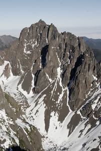 - Mount Constance
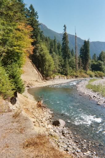 - The road washout
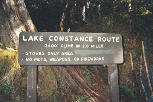
Although the peak is not high by western standards, it is among the highest in the Olympic Range, and involves over 6500 feet of elevation gain from the trailhead. Trails out west tend to gain elevation slowly with numerous switchbacks, not so the trail to Lake Constance:
I camped at the pretty lake and started hiking up Avalanche Canyon about 9 the following morning.
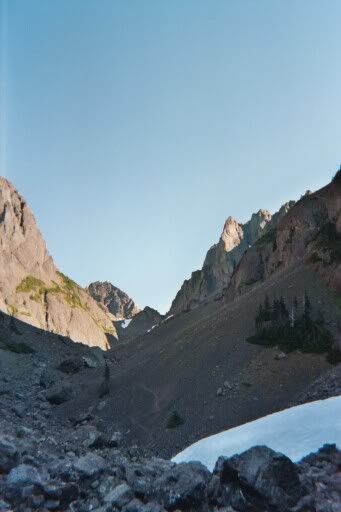
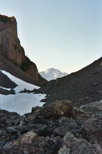
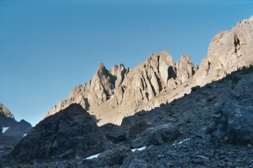
The route involved a fair amount of tedious scree on the lower sections, and is probably best climbed in the early summer when these slopes are snow covered. Higher up the rock was more solid and fun to climb, and snow ramps made for faster progress in spots. After some tricky route finding and some thrillingly exposed sections, I reached the summit around 3 p.m.
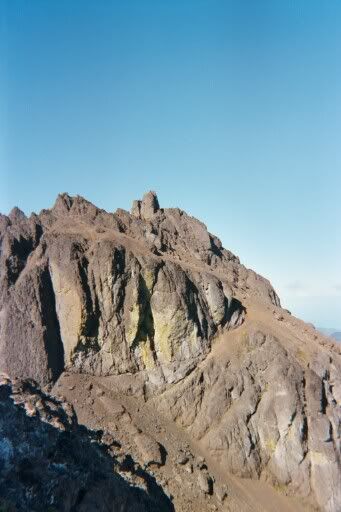
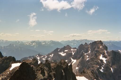
With a bit of scree-skiing and boulder hopping, I was back at the lake by 5, but opted to save my old knees and the Lake Constance trail descent for the morning.
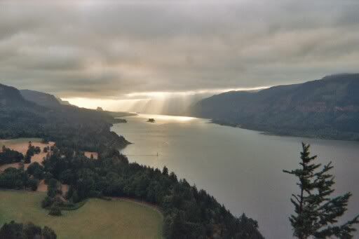
The next day I drove south through the Columbia River Gorge and climbed Mt. Adams. But that's another trip report.
http://www.cascadeclimbers.com/threadz/showthreaded.php/Cat/0/Number/597194/an/0/page/0/vc/1
After he flew back to Chicago, I had time to explore a bit in Olympic National Park, somewhere I'd never been in my travels in Washington State. I took a car ferry to the peninsula in Port Townsend and drove south down Highway 101 to the Constance-Buckhorn Group of mountains on the eastern margin of the park. The idea was to climb Mt. Constance, a 7756 ft. high peak via a 3rd class route called "The Finger Traverse." Once popular, the peak sees much less traffic now that the access road is washed out 5 miles short of the trailhead. So with just a bit of easy road walking, I had Lake Constance, and the mountain to myself for 2 days.


Although the peak is not high by western standards, it is among the highest in the Olympic Range, and involves over 6500 feet of elevation gain from the trailhead. Trails out west tend to gain elevation slowly with numerous switchbacks, not so the trail to Lake Constance:

I camped at the pretty lake and started hiking up Avalanche Canyon about 9 the following morning.


The route involved a fair amount of tedious scree on the lower sections, and is probably best climbed in the early summer when these slopes are snow covered. Higher up the rock was more solid and fun to climb, and snow ramps made for faster progress in spots. After some tricky route finding and some thrillingly exposed sections, I reached the summit around 3 p.m.


With a bit of scree-skiing and boulder hopping, I was back at the lake by 5, but opted to save my old knees and the Lake Constance trail descent for the morning.
The next day I drove south through the Columbia River Gorge and climbed Mt. Adams. But that's another trip report.


