1HappyHiker
Well-known member
It was another one of those days when I had a compressed time-window for hiking. So, I was looking for something relatively short and different to do. Eventually I decided to hike up to the shoulder of Mt. Bemis which clocks in at about 3,000 ft elevation. It’s a reasonably quick ‘n easy hike via the Nancy Pond Trail and the abandoned trail that leads to the former fire tower site on Mt. Bemis.
I want to emphasize that I didn’t go all the way to Mt. Bemis, and that’s why this report is entitled “Mt. Bemis-Lite”. I only went to the spot at the crest of the ridge where there’s the huge mish-mash of blowdowns that you need to negotiate if you want to continue on up to the summit of Mt. Bemis. Today, I simply didn’t have time to mess around with “blow-down city”. (However, it would have been nice to have visited Bemis in winter since I’ve only done it in the summer months.)
Upon starting out on the Nancy Pond Trail, it appeared that a group of folks had recently broken out the trail with snowshoes. Not wanting to mess up the trail with postholes, I put on my snowshoes. Not only was this a good thing in terms of keeping the trail posthole-free, but as it turns out, this group of hikers ended their journey about 30 minutes from the trailhead!! So, I needed my snowshoes anyway to break-trail for the rest of my journey. However, it really wasn’t too difficult breaking trail since the snowpack was pretty firm and crusty (I guess due to recent rain & re-freezing?).
Just as a word of caution (as of the date of this report), once you cross Nancy Brook at 1.6 miles, my snowshoe tracks lead up toward Mt. Bemis. The regular Nancy Pond Trail that heads west toward Nancy Cascades (and beyond) is unbroken.
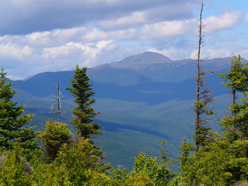
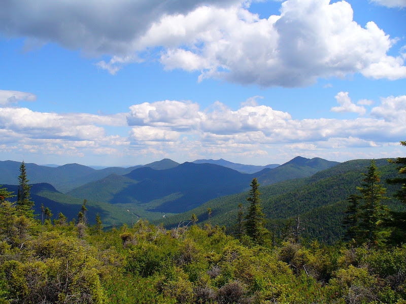
Anyway, to get to the point of this report, it was a beautiful day to be out in the Whites. By working my way around to various viewpoints along the old trail to Mt. Bemis, I was able to get a few nice views. Below are some photos showing a sampling of what I saw today.
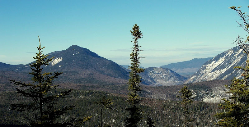
The most spectacular view of the day was the vista that you get from the crest of the ridge that comes off Mt. Bemis. The photo below is looking northward up the Crawford Notch toward Mt. Willey, Mt. Willard, and Mt. Webster.
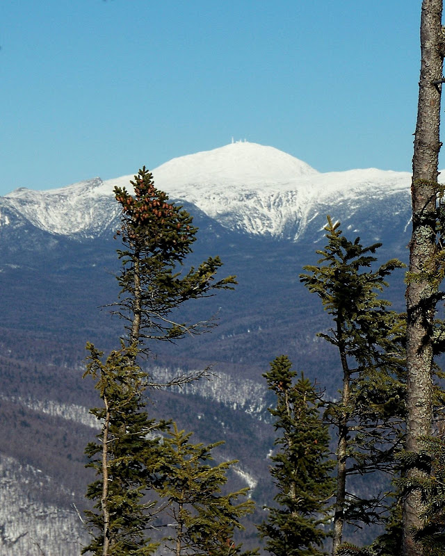
From this same spot, there is also a view of the southern Presidentials and Mt. Washington. Below is a photo that highlights “Big George”.
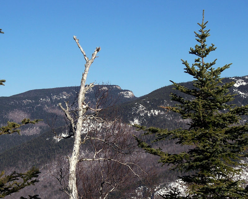
From another viewpoint along the way, there’s a nice peek at Stairs Mountain, as shown below.
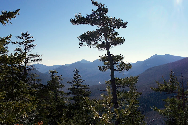
From yet another viewpoint is a view looking down Route 302 toward the area of Bartlett Haystack & Mt. Tremont, as shown below.
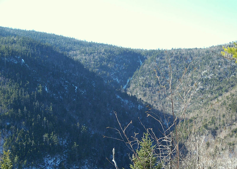
And from the same viewpoint as above, there’s a view of Nancy Cascades (thin white line off in the distance), as seen in the photo below.
1HappyHiker
I want to emphasize that I didn’t go all the way to Mt. Bemis, and that’s why this report is entitled “Mt. Bemis-Lite”. I only went to the spot at the crest of the ridge where there’s the huge mish-mash of blowdowns that you need to negotiate if you want to continue on up to the summit of Mt. Bemis. Today, I simply didn’t have time to mess around with “blow-down city”. (However, it would have been nice to have visited Bemis in winter since I’ve only done it in the summer months.)
Upon starting out on the Nancy Pond Trail, it appeared that a group of folks had recently broken out the trail with snowshoes. Not wanting to mess up the trail with postholes, I put on my snowshoes. Not only was this a good thing in terms of keeping the trail posthole-free, but as it turns out, this group of hikers ended their journey about 30 minutes from the trailhead!! So, I needed my snowshoes anyway to break-trail for the rest of my journey. However, it really wasn’t too difficult breaking trail since the snowpack was pretty firm and crusty (I guess due to recent rain & re-freezing?).
Just as a word of caution (as of the date of this report), once you cross Nancy Brook at 1.6 miles, my snowshoe tracks lead up toward Mt. Bemis. The regular Nancy Pond Trail that heads west toward Nancy Cascades (and beyond) is unbroken.
Anyway, to get to the point of this report, it was a beautiful day to be out in the Whites. By working my way around to various viewpoints along the old trail to Mt. Bemis, I was able to get a few nice views. Below are some photos showing a sampling of what I saw today.
The most spectacular view of the day was the vista that you get from the crest of the ridge that comes off Mt. Bemis. The photo below is looking northward up the Crawford Notch toward Mt. Willey, Mt. Willard, and Mt. Webster.

From this same spot, there is also a view of the southern Presidentials and Mt. Washington. Below is a photo that highlights “Big George”.

From another viewpoint along the way, there’s a nice peek at Stairs Mountain, as shown below.

From yet another viewpoint is a view looking down Route 302 toward the area of Bartlett Haystack & Mt. Tremont, as shown below.

And from the same viewpoint as above, there’s a view of Nancy Cascades (thin white line off in the distance), as seen in the photo below.

1HappyHiker

