grouseking
Well-known member
When you don't have a car, you have to make the most of every hiking opportunity. Thankfully, the Upper Valley is full of great trails that are worth exploring. No where is more evident than in the town of Hanover. There is a map online of all the trails, with descriptions of each path and mileage. Talk about local hiker heaven.
On Thursday 6/2/11, I explored one trail that I had checked out a few years ago, the Cliffside trail, and then continued on to another trail, called the Girl Brook Trail. Below is a small map of where I hiked. The numbers coincide to the trails I took...48 is Cliffside, and 14 is Girl Brook. Blue arrows show the direction in which I hiked, and the two black arrows are the Hanover Green.
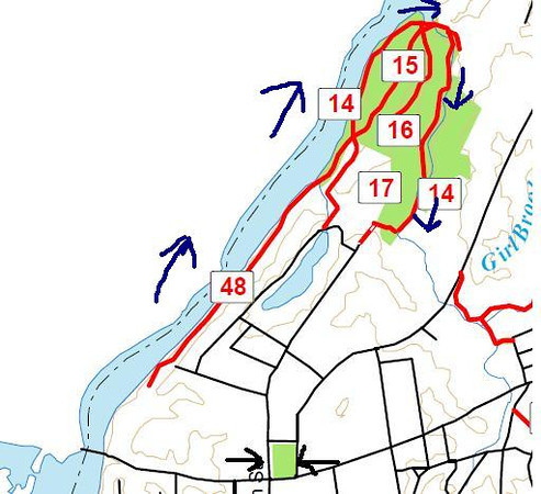
Descriptions:
48. Cliffside Trail, 1.1 miles: B5-B6. Runs from the Girl Brook Circuit(14) in Pine Park near the bottom of Freshman Hill to the back of Tom Dent Cabin just above the Ledyard Canoe Club. A narrow sidehill trail, irregularly maintained, with frequent scrambles.
14 Girl Brook Circuit 1.6 miles: B5-C6. Trailheads are in the golf course northwest of Occom Pond and off Rope Ferry Road Extension. Taken counterclockwise, the trail runs along Girl Brook and the Connecticut River, then up Freshman Hill to the golf course. Treacherous stream crossings in high water; steep grade down from Rope Ferry Extension; otherwise easy.
The Cliffside trail begins beyond the Ledyard Canoe Club along the Ct River. This path was pretty much easy to follow, though fairly rough in places because it hugged the steep, eroded side slope that drops right to the waters edge. While I was definitely "off the beaten path," it was hardly solitude, because there were people mowing the lawn across the river, and I could hear I-91 not too far away. Plus, right up the hill were many beautiful homes, thankfully out of sight. Some pics....
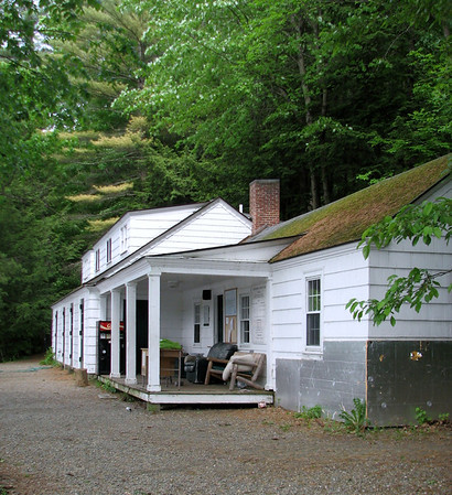
The trail starts about 30 yards beyond this building, behind a log cabin for storage.
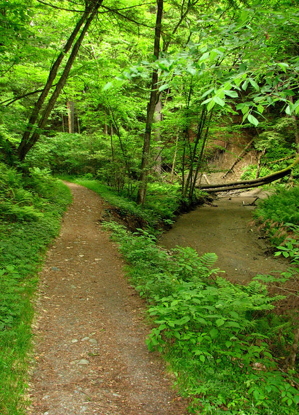
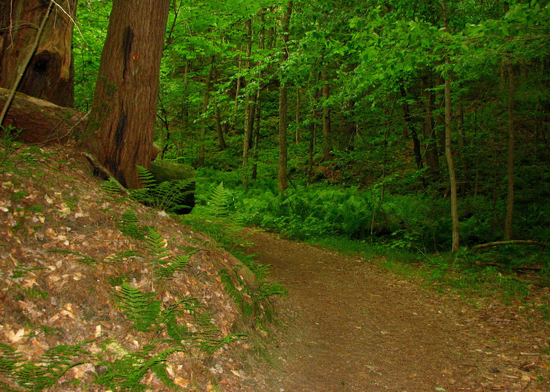
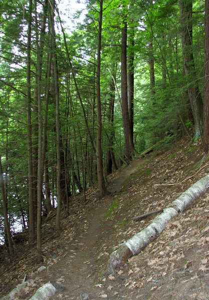
Cliffside, usually easy, but every once in awhile there was some funky footing.
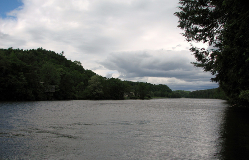
View of the Ct River
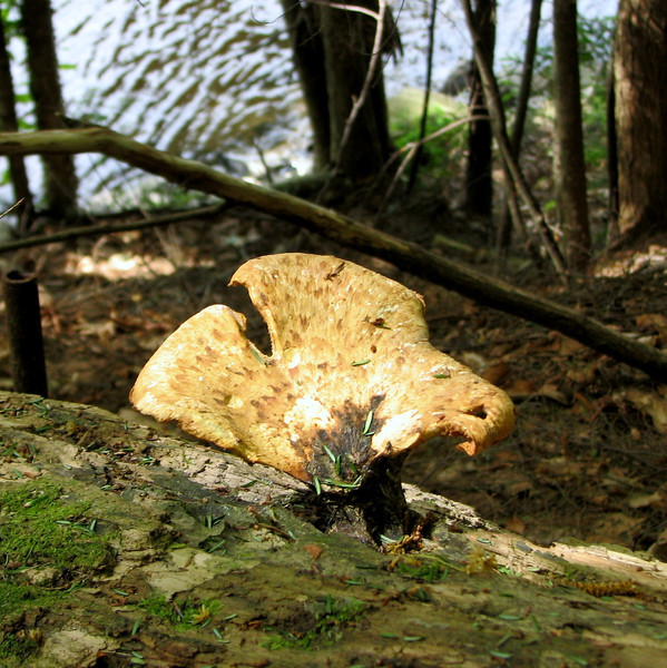
Shrooms
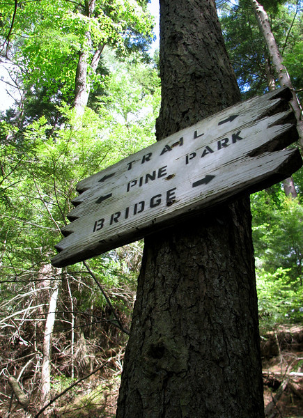
There was a big area of blowdowns that I had to negotiate, and after that, I saw this cool trail sign.
The day was mainly cloudy, somewhat showery, and very cool, but the sun would occasionally make an appearance.
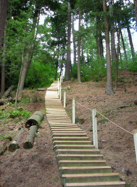
These steps, which led off the trail, were just too intriguing to pass up. They led to a nice house. BTW, there were 132 steps.....
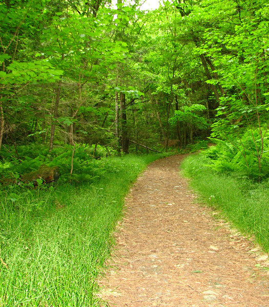
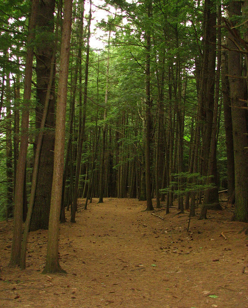
Eventually, the cliffside trail ended, and it led to a much nicer, softer, and wider path, which I assumed was the Girl Brook loop. It was jogger heaven in here, and I saw many.
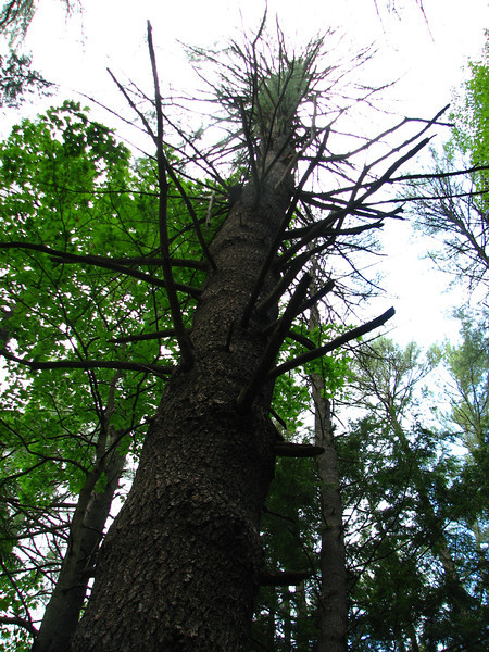
A very large, and dying white pine.
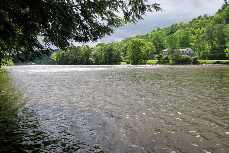
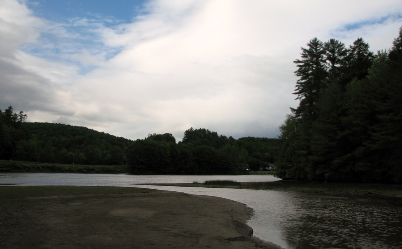
The loop led out to a view of an inlet which I was able to walk out to and get another view of the river. Pretty dark with all those clouds, though there was some blue trying to come out.
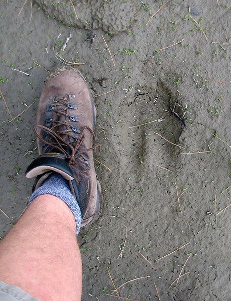
very surprised to find a moose track right down along the CT River in Hanover, within a mile of the college.
Cont in a minute
On Thursday 6/2/11, I explored one trail that I had checked out a few years ago, the Cliffside trail, and then continued on to another trail, called the Girl Brook Trail. Below is a small map of where I hiked. The numbers coincide to the trails I took...48 is Cliffside, and 14 is Girl Brook. Blue arrows show the direction in which I hiked, and the two black arrows are the Hanover Green.

Descriptions:
48. Cliffside Trail, 1.1 miles: B5-B6. Runs from the Girl Brook Circuit(14) in Pine Park near the bottom of Freshman Hill to the back of Tom Dent Cabin just above the Ledyard Canoe Club. A narrow sidehill trail, irregularly maintained, with frequent scrambles.
14 Girl Brook Circuit 1.6 miles: B5-C6. Trailheads are in the golf course northwest of Occom Pond and off Rope Ferry Road Extension. Taken counterclockwise, the trail runs along Girl Brook and the Connecticut River, then up Freshman Hill to the golf course. Treacherous stream crossings in high water; steep grade down from Rope Ferry Extension; otherwise easy.
The Cliffside trail begins beyond the Ledyard Canoe Club along the Ct River. This path was pretty much easy to follow, though fairly rough in places because it hugged the steep, eroded side slope that drops right to the waters edge. While I was definitely "off the beaten path," it was hardly solitude, because there were people mowing the lawn across the river, and I could hear I-91 not too far away. Plus, right up the hill were many beautiful homes, thankfully out of sight. Some pics....
The trail starts about 30 yards beyond this building, behind a log cabin for storage.

Cliffside, usually easy, but every once in awhile there was some funky footing.

View of the Ct River

Shrooms

There was a big area of blowdowns that I had to negotiate, and after that, I saw this cool trail sign.

The day was mainly cloudy, somewhat showery, and very cool, but the sun would occasionally make an appearance.

These steps, which led off the trail, were just too intriguing to pass up. They led to a nice house. BTW, there were 132 steps.....

Eventually, the cliffside trail ended, and it led to a much nicer, softer, and wider path, which I assumed was the Girl Brook loop. It was jogger heaven in here, and I saw many.

A very large, and dying white pine.

The loop led out to a view of an inlet which I was able to walk out to and get another view of the river. Pretty dark with all those clouds, though there was some blue trying to come out.

very surprised to find a moose track right down along the CT River in Hanover, within a mile of the college.

Cont in a minute

