8-21-10 Jefferson, and Visc

vftt.org

Help Support vftt.org:

This site may earn a commission from merchant affiliate links, including eBay, Amazon, and others.

grouseking

Well-known member
Joined
Feb 20, 2005
Messages
2,023
Reaction score
272
Location
Lebanon, NH Avatar: Philosopher?
978834002_K9ycY-L.jpg


Whoo hoo, I have a brand new 4000 footer completed! Who woulda thunk? Warning...since this was a new trip for me, I took even more photos than usual haha.

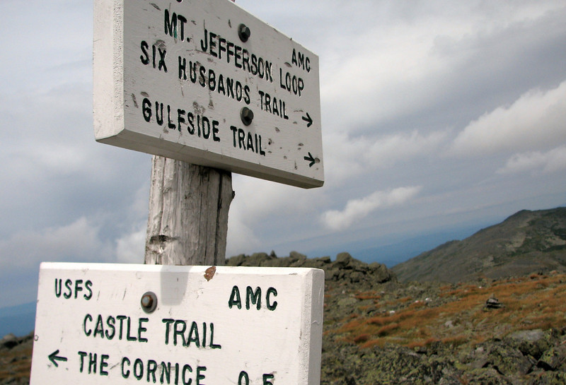
The route for Jefferson was the Caps Ridge trail to the summit, then to play around along Six Husbands for a bit, cut over along to the Gulfside towards Washington, then go back to Caps Ridge via the Cornice. This was my first visit to this section of the Presis, and everything people say is true...the rocks, the views...everything! Time for my usual picture/writing report.....

We set off, around 10:25am, about the only flat section.
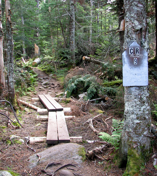
978825160_g4RSQ-L.jpg


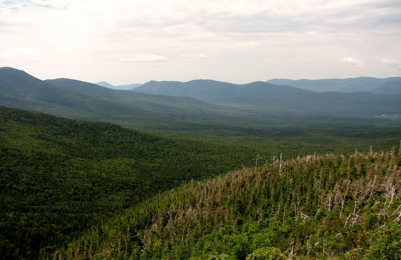
Up at the potholes ledges
978825841_kQtnu-L.jpg


and a look ahead
978826616_7jyb3-L.jpg


After this viewpoint, the trail got pretty steep, and then before long, the scrambling began on the caps!

My friend Lynn negotiating
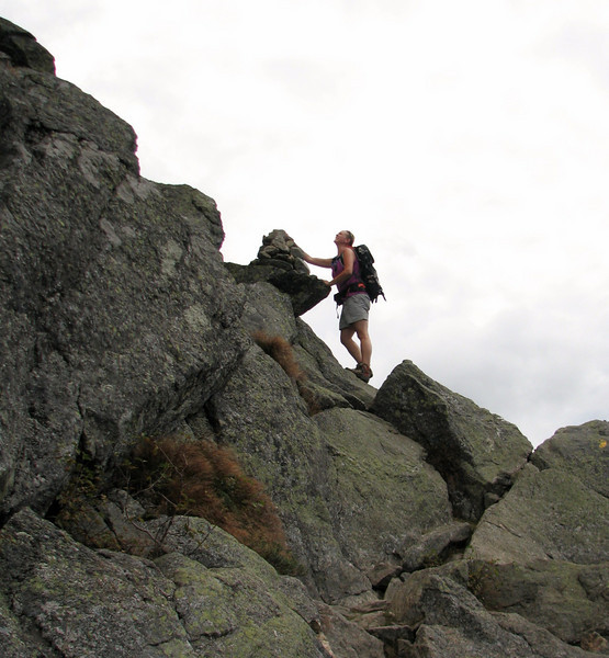
978827376_79LM8-L.jpg


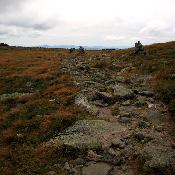
This gives you an idea of the trail condition
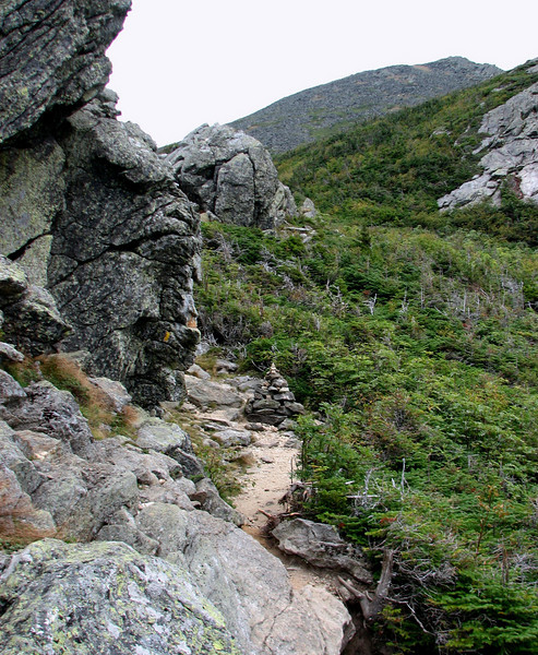
978828363_MTodX-L.jpg


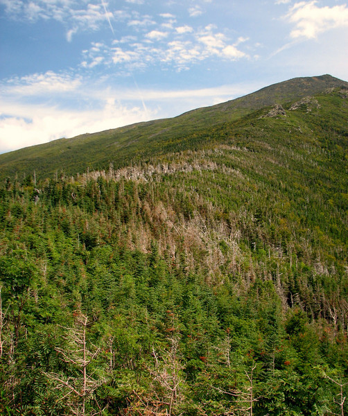
Ooh, and did I mention there were constant views?
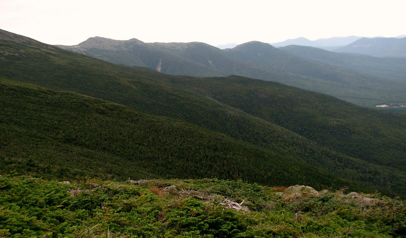
978830018_fuoXZ-L.jpg


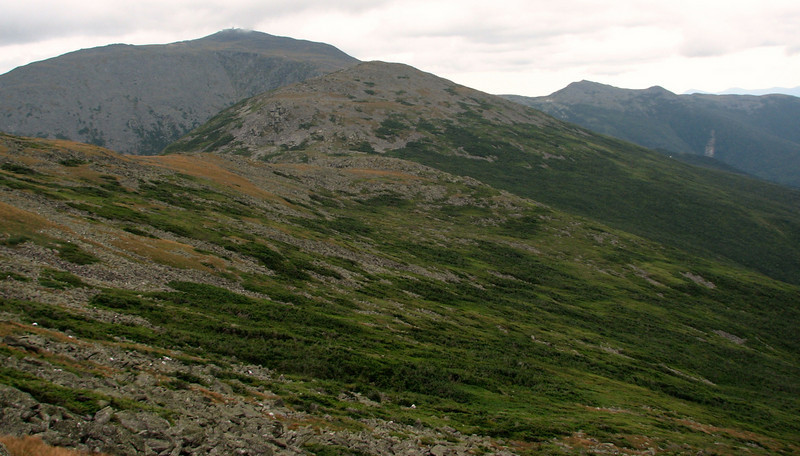
At the Cornice junction, I ate some lunch to combat the dizziness my medicine causes. It worked pretty darn well yesterday, sweet! Views to Washington came in to play, just before we summited Jeffy.
978831716_PAwdv-L.jpg


Now up on the summit area, the photo ops became even more numerous
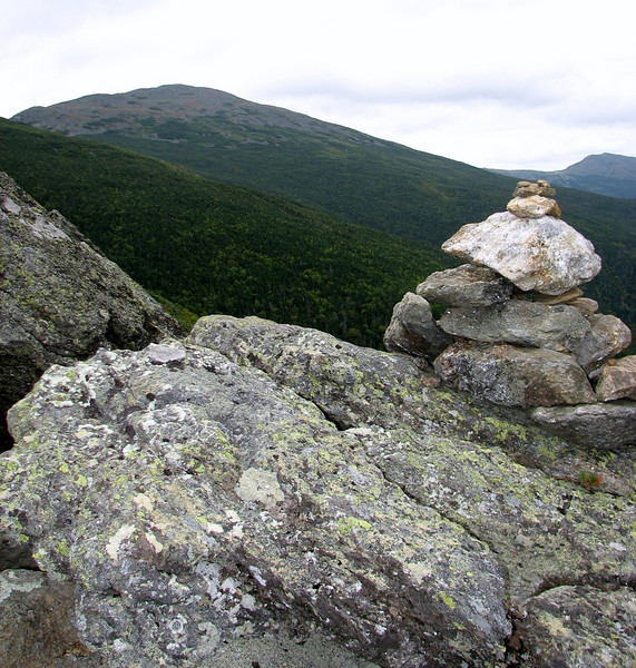
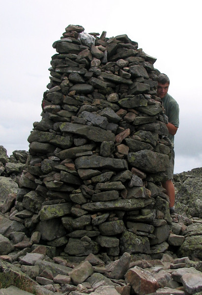
hiding behind the big arse cairn..
978833805_vjr4f-L.jpg


978835995_5q9M6-L.jpg


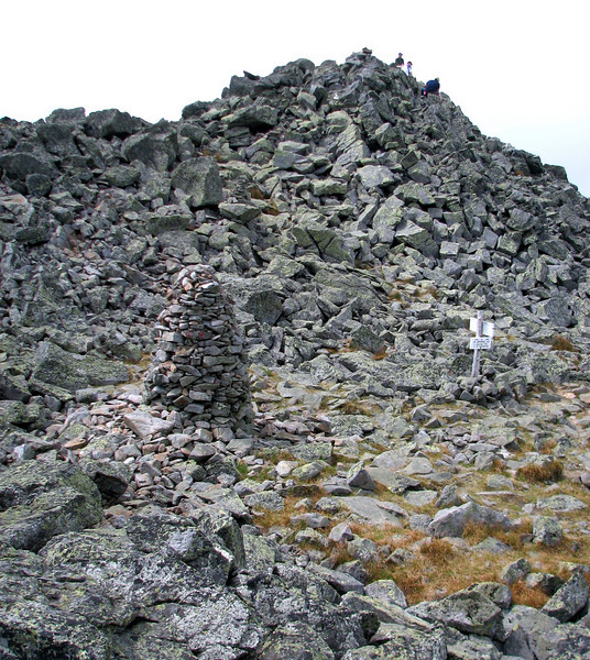
this just looks like a chaotic mess to me
978835846_a5ua7-L.jpg


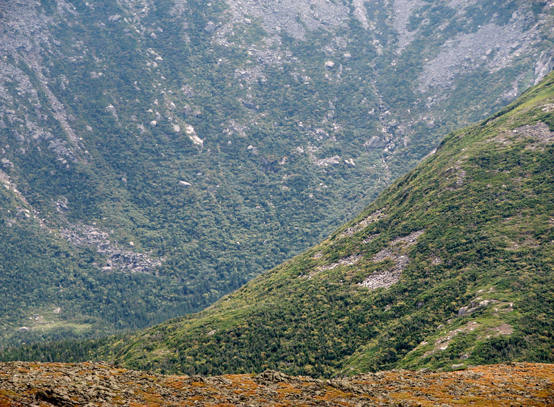
The absolutely awesome expanse of the Great Gulf!!
978837900_q3Bwt-L.jpg


continued in a minute, stay tuned!!
 
part 2

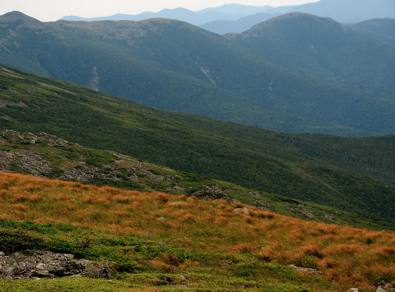
I need to mention the weather, because it wouldnt be a grouseking report without talking about this. The wind was surprisingly calm at the summit...like oddly calm. The clouds were on the increase all day, and there were some upslope sprinkles off and on. Temps were in the 50s. It was actually pretty nice overall, though you can tell winter is on its way. The sedge has turned brown, and only a few alpine flowers are left. It won't be long now!!

Back to the pics.

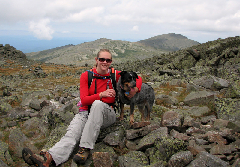
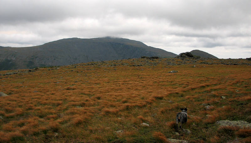
Lynn and her pup Blue
978838075_QNk9H-L.jpg


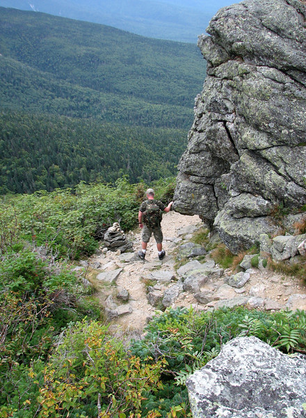
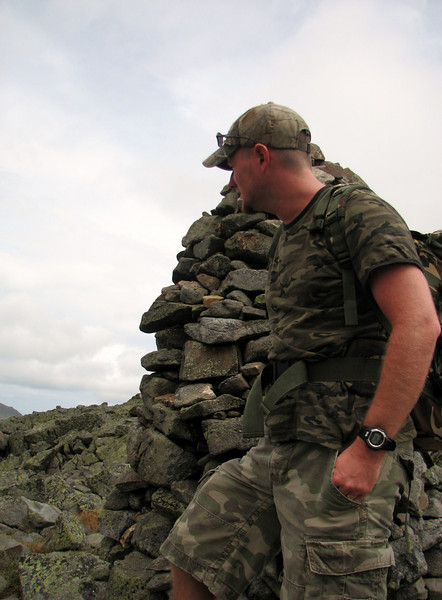
Brian, the camo man who blends right in with it all.
978838248_tAGyZ-L.jpg


zoom in to Adams, wow thats nuts
978839540_FLAJ9-L.jpg


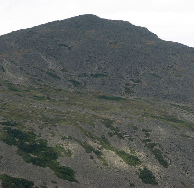
Pretty sure that is Jeffersons knee.
978840525_K62Bd-L.jpg


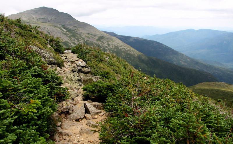
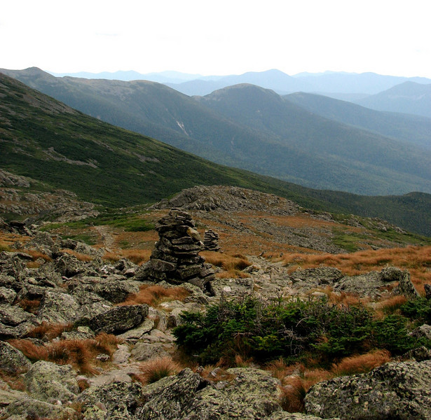
On the Gulfside, looking north
978842131_W9tC8-L.jpg


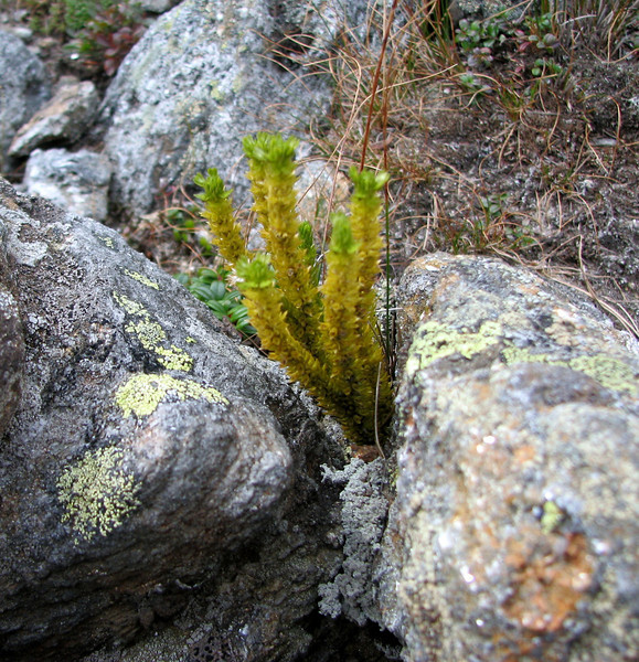
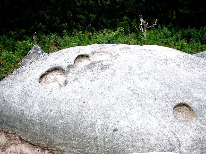
Anyone know what this is?
978842248_SVMAY-L.jpg


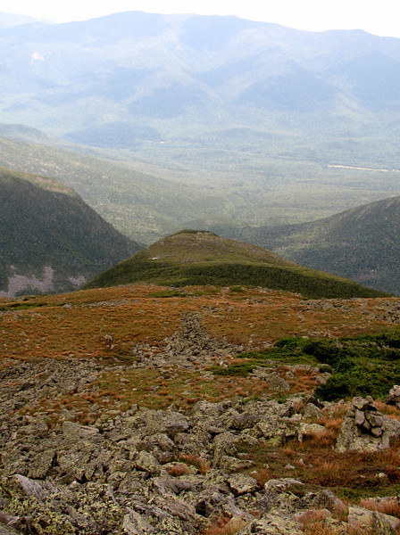
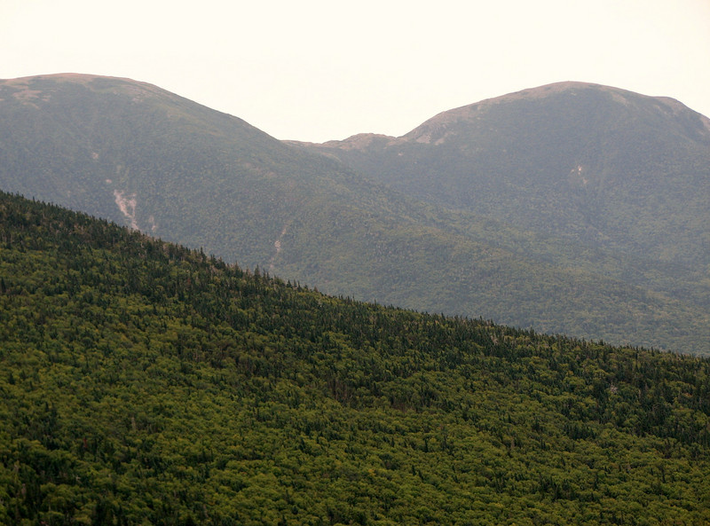
Walking into the expansive lawn area in between Jefferson and Clay
978842468_hYiwg-L.jpg


978842548_84RG6-L.jpg


978843120_SQnke-L.jpg


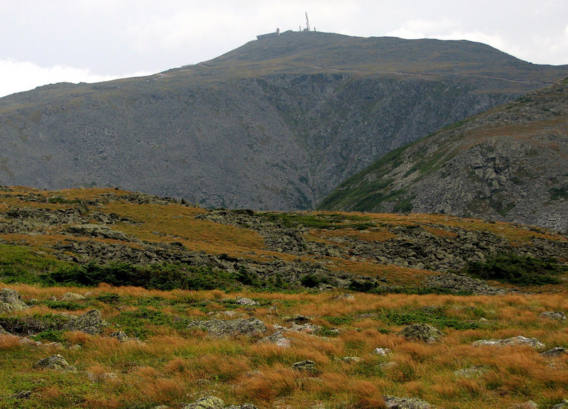
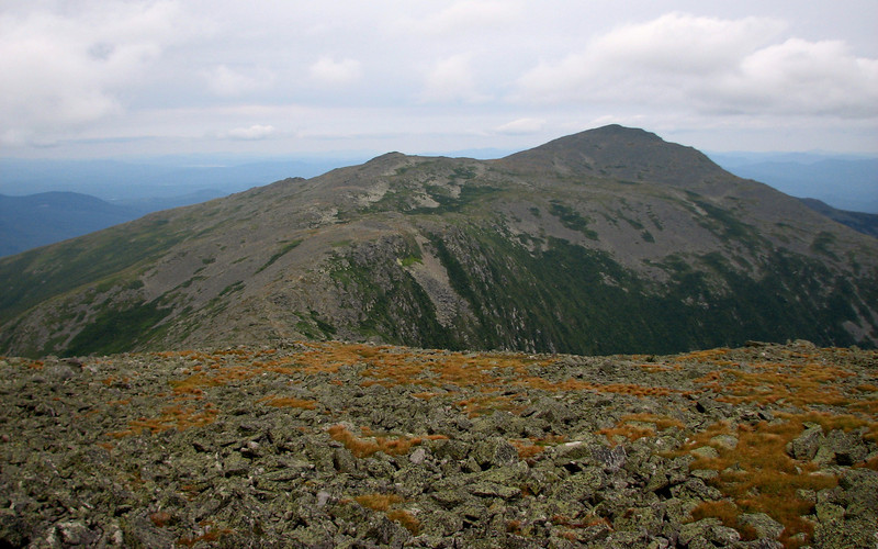
My fav pic of Washington that day
978844845_pKSQA-L.jpg


After some minor ankle twisting on the Cornice trail, it was time to head down. We ambled along, nice and slow, cause slow and steady wins the race.
978845079_dAuJS-L.jpg


978849447_VienF-L.jpg


be back one more time, in a minute!
 
part 3,

heading down
978850388_Y8kEF-L.jpg


As Brian called it, nature's toilets....
978851192_uHL3y-L.jpg


Eiiiiiiiiisenhower
978852878_7KK2y-L.jpg


Soon thereafter, we made it back to the car, about a 7.5 hour hike, about 6to 6.5 miles, including all stops. It was a great way to get back into the Presidents for me! But what, there's more!

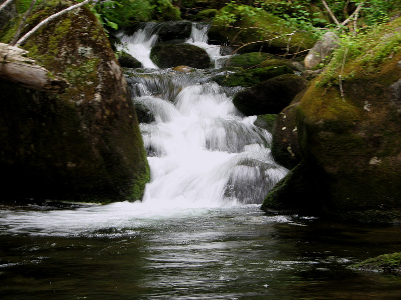
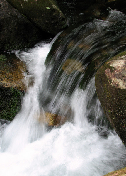
On the way back, we stopped along Jefferson Brook and I got a few pics of some small cascades.
978853641_UfWPb-L.jpg


978854258_L7XVg-L.jpg


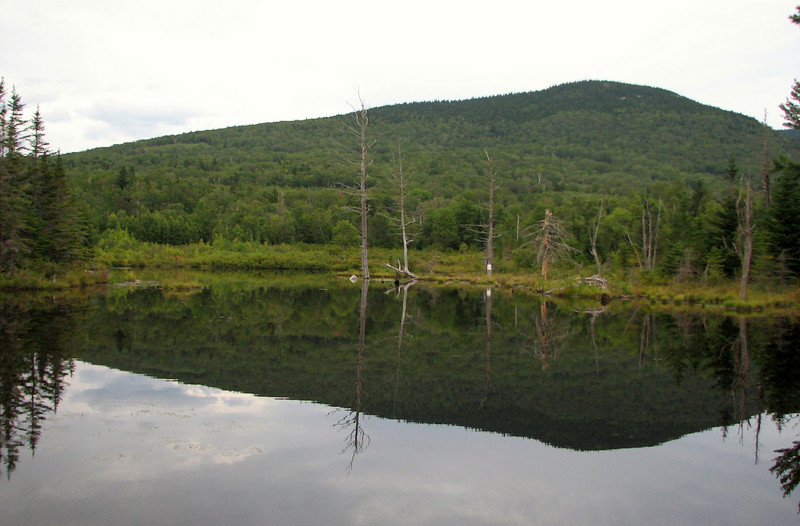
Next, Brian wanted to check out Zealand Rd because he hasn't been there in years. No argument from me there....so off we went. I showed him what I think are a couple areas where you can tackle some of the bushwhacks of the subpeaks along Mt Hale...though others on this site would know better than me.... We checked out the Bethlehem water supply...not as pretty as I thought it would be, so I won't post a pic (but I do have a couple in the photo album. Then we went down the road a piece to one of the wildlife viewing areas, which I have been wanting to check out....

Waiting for a moose to emerge from this beaver pond, to no avail
978855936_aVxcK-L.jpg


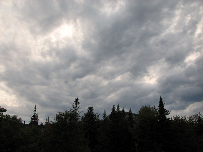
Gee, do ya think the weather is going to turn sour soon?
978856053_cMGRJ-L.jpg


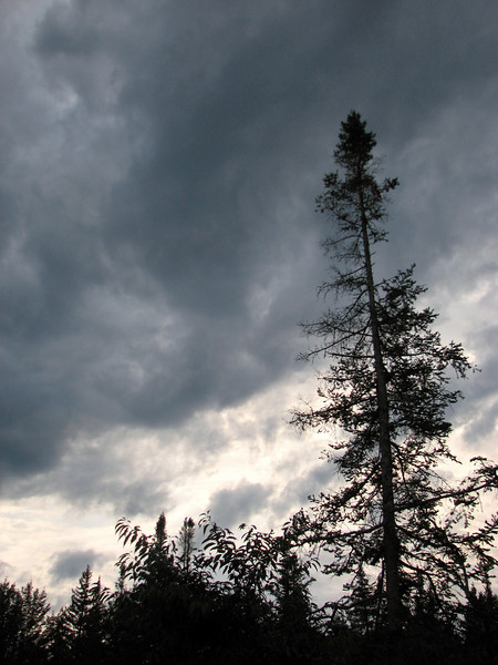
Nasty night in the woods?
978858300_3BBZ5-L.jpg


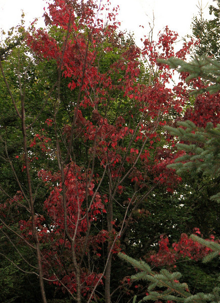
And finally, despite the dark and dreary feel, this lone stressed sugar maple is lighting up the woods, even at this late hour.
978858031_yyzLN-L.jpg


And thats it! Ooh, btw, that was my 35th 4000 footer, meaning I got 13 left.

http://grouseking.smugmug.com/gallery/13447840_UmHTJ#978824706_cjv8n

enjoy!
grouseking
 
very nice, GK!...I like the pic of Jefferson's Knee. That is going to be a destination of a near future hike. Thanks for posting!

happy trails :)
 
very nice, GK!...I like the pic of Jefferson's Knee. That is going to be a destination of a near future hike. Thanks for posting!

happy trails :)

Thanks Patrick. :) My friend was saying he had a hell of a time heading up Jefferson's knee with a full pack, and as we descended off the summit cone, you could hear the worry in his voice as we approached it. haha He didn't want to ever have anything to do with it again.

Some fine, fine photographs (and snappy trip-reporting!) -- thank you for posting these.

I like the shots of the grasses and sedges on Monticello Lawn. Nice!

Thanks Barkingcat. I like Monticello lawn as well. In fact, I wish I could have hung out there longer. Maybe next time.
 
Top