1HappyHiker
Well-known member
For the past several weeks, there has been a project that has required my attention and it has had some impact on the time available for outdoor activity, like hiking for example!
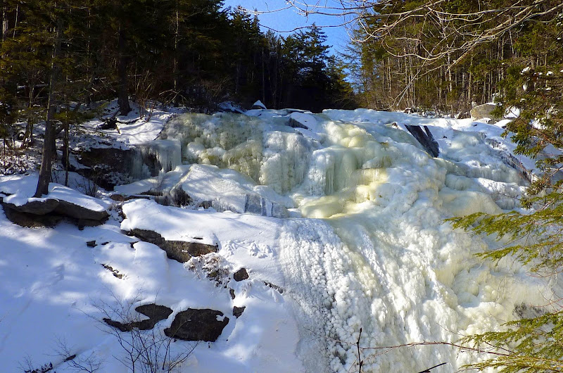
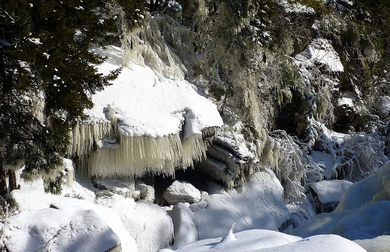
I was able to break free from this project on Saturday around noon. This didn't leave a lot of time. So, a plan was quickly concocted for a short hike up the Georgiana Falls Trail. Then from the end of this trail, I planned to do a short bushwhack to Bog Eddy which is a place I'd never been before. About midway up the Georgiana Falls Trail, I had a chance meeting with a very nice guy named Owen who I'd never met before. He had also gotten off to a late start, and incredibly, he had the same exact itinerary in mind! We joined forces and continued our adventure together.
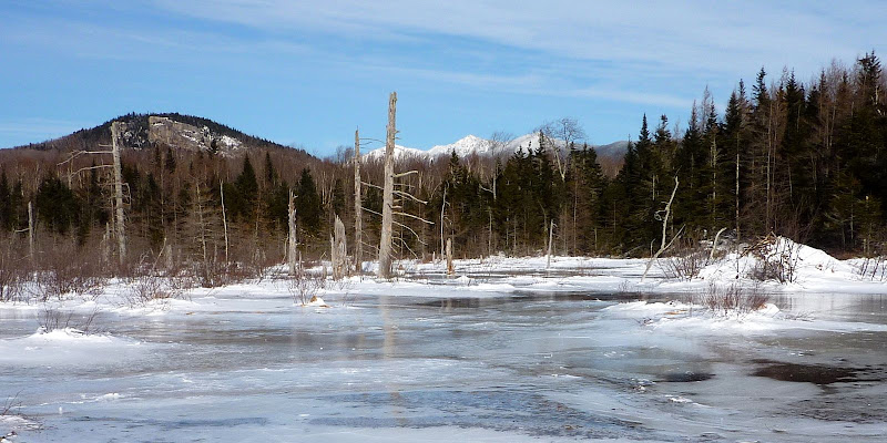
The views from Bog Eddy were the highlight of the day. A few of the snapshots taken from that location are shown below.
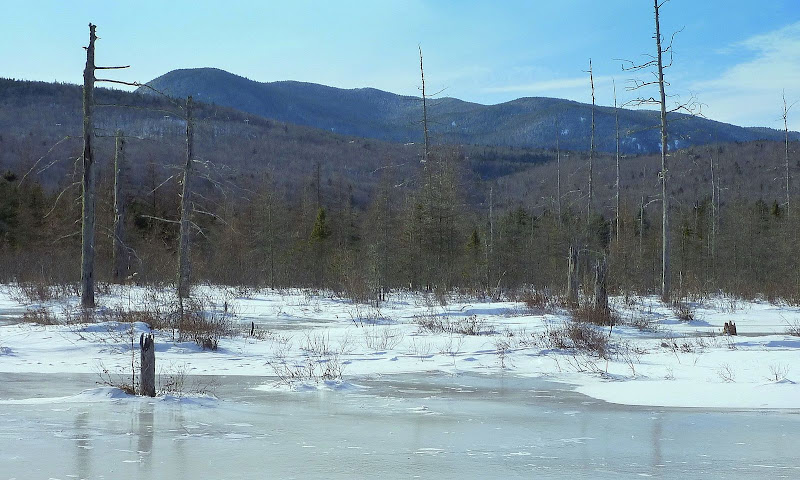
Bog Eddy Viewpoint: Mt. Pemigewasset and Portion of Franconia Range
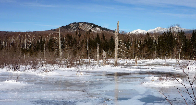
Bog Eddy Viewpoint: Kinsman Range
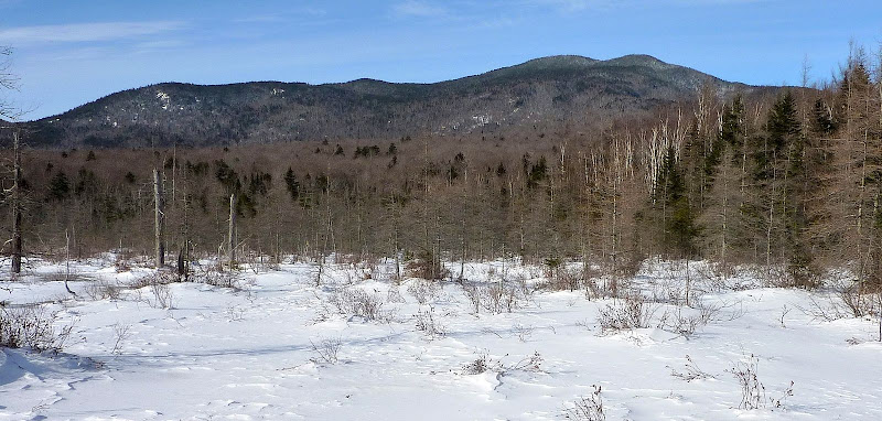
Bog Eddy Viewpoint: Mt. Wolf (highest peak at upper left of photo)
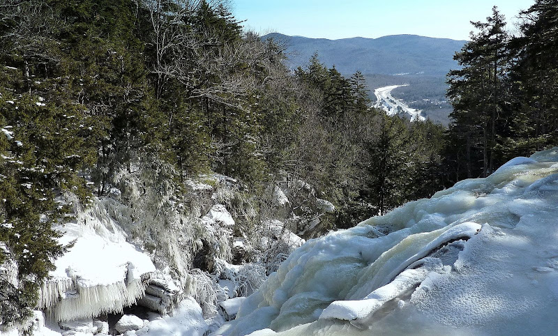
On the way up to Bog Eddy, a snapshot was taken from near the top of the Georgiana Falls/Harvard Falls complex. From here, you peer down at I-93 off in the distance. Probably many of you have seen this vantage-point in the distance as you travel northward on I-93. Particularly during the winter months and during the Spring run-off, it appears as a "white spot" near the top of a ridge on the west side of the Interstate corridor in the vicinity of Lincoln.
Looking at I-93 from the Top of the Falls
With the day already shortened by a very late start-time, there wasn't a lot of latitude to extend this trek to include other destinations in the immediate area. However, there was enough time to include a short whack up to the unattractive swath cut through the forest for the high-voltage power lines. There were no expectations for any great views from there, but since it was close by, it had to be investigated!
It was a very easy open-woods whack to the power line. From the particular spot where we stood on the swath, there were some rather uninspiring views toward Lincoln. There was an OK view toward the Kinsman Range.
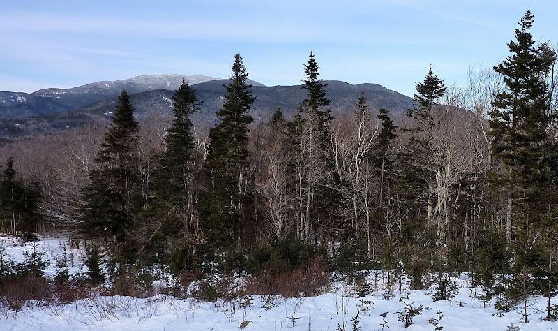
Power Line Viewpoint: Kinsman Range
Although the hike was relatively brief, it was an unexpected pleasure to have a chance meeting with Owen who I had never met. And, it was fantastic to get to a spot where I had never been, i.e. Bog Eddy.
1HappyHiker
I was able to break free from this project on Saturday around noon. This didn't leave a lot of time. So, a plan was quickly concocted for a short hike up the Georgiana Falls Trail. Then from the end of this trail, I planned to do a short bushwhack to Bog Eddy which is a place I'd never been before. About midway up the Georgiana Falls Trail, I had a chance meeting with a very nice guy named Owen who I'd never met before. He had also gotten off to a late start, and incredibly, he had the same exact itinerary in mind!
The views from Bog Eddy were the highlight of the day. A few of the snapshots taken from that location are shown below.
Bog Eddy Viewpoint: Mt. Pemigewasset and Portion of Franconia Range

Bog Eddy Viewpoint: Kinsman Range

Bog Eddy Viewpoint: Mt. Wolf (highest peak at upper left of photo)

On the way up to Bog Eddy, a snapshot was taken from near the top of the Georgiana Falls/Harvard Falls complex. From here, you peer down at I-93 off in the distance. Probably many of you have seen this vantage-point in the distance as you travel northward on I-93. Particularly during the winter months and during the Spring run-off, it appears as a "white spot" near the top of a ridge on the west side of the Interstate corridor in the vicinity of Lincoln.
Looking at I-93 from the Top of the Falls

With the day already shortened by a very late start-time, there wasn't a lot of latitude to extend this trek to include other destinations in the immediate area. However, there was enough time to include a short whack up to the unattractive swath cut through the forest for the high-voltage power lines. There were no expectations for any great views from there, but since it was close by, it had to be investigated!
It was a very easy open-woods whack to the power line. From the particular spot where we stood on the swath, there were some rather uninspiring views toward Lincoln. There was an OK view toward the Kinsman Range.
Power Line Viewpoint: Kinsman Range

Although the hike was relatively brief, it was an unexpected pleasure to have a chance meeting with Owen who I had never met. And, it was fantastic to get to a spot where I had never been, i.e. Bog Eddy.
1HappyHiker
Last edited:

