JacobH
Active member
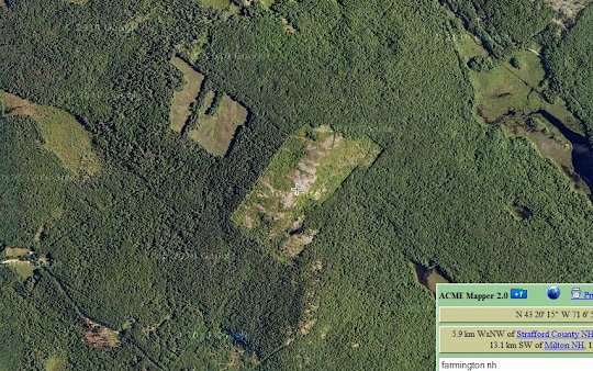
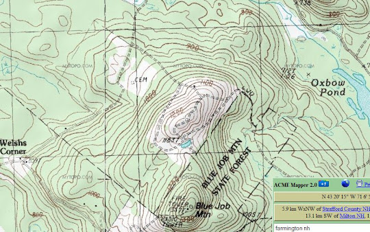
I didn't sleep. It was a... mostly-conscious decision. After surfing then net until around 2am I decided just to stay up and go hiking. I am a night person anyway so this really isn't too tough for me to pull an all-nighter. I hadn't seen the sunrise in awhile, so that had been on my mind. I also knew I only had a few hours in the morning of Saturday for hiking for the entire weekend, so the Whites were out of the question. I'm spoiled and only live 25 minutes from the awesome little peak duo of Blue Job. The fire tower on Blue Job proper may have a farther viewing distance, but the bald cap of it's smaller twin is quite the treat for being so close, and relatively low in elevation. There are a couple of defined trails on Blue Job, but about 10 times as many herd paths. I've been there so many times that I was pretty comfortable only heading up with a pint of water, a headlamp and a jacket for the 1 mile out and back (1.5 for the actual "trailed" loop over the fire tower that I did not take), even though I would be starting in complete darkness. Here's a map of the area, showing the extent of the controlled burns done to propagate the blueberry growth (acres and acres)!
Note that only part of the trail system actually shows up on Acme Mapper topo. There are 3 "marked" trails that loop over the main mountain, and the trail I took to the center of the pictures on top of Little Blue Job does not show up except as a 4wd trail (and the connecting trail between the two spots is nowhere). The parking lot is located off 1st Crown Point road, off picture a bit at the bottom at the "height of land" between Blue Job and Mack Mtn (not shown).
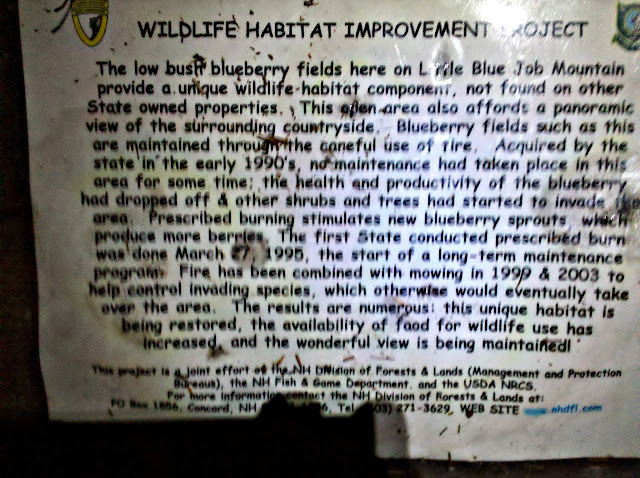
So around 5:00 I made the short trip over to Farmington and by 5:30 I was off into the dark. After a short distance I made it to the state park boundary. Shortly thereafter I came to the sign denoting the entrance to the blueberry fields. Here begins the few hundred "steep" yards of the hike. Heavily modified picture that was as best I could get without some super glare from my flash. A little bit of history, if it's not too blurry to read.
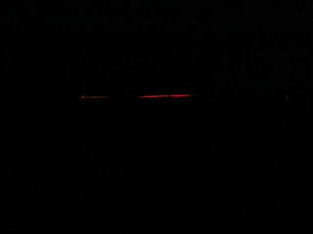
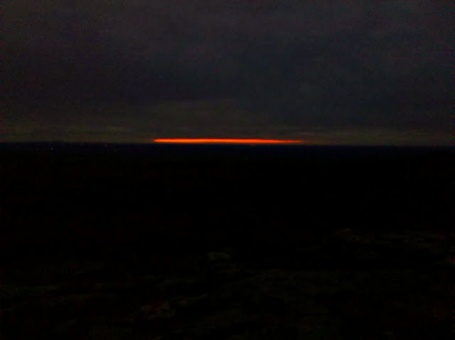
Upon reaching the intersection of the unnamed Little Blue Job Mountain trail and the 4wd/snowmobile trails, I decided to whack straight up rather than try to navigate through the wet stuff in the dark. At the top, I found...fire on the horizon. Unique, not quite what I was expecting but very neat considering the entire sky was covered in clouds except these few slivers of sky to the East. The red dot on the left is a communication tower, and the other dots below to the right are from the Kittery/York/Berwick Maine area and maybe farther up the coast towards Portland.
A different view, southeast over Portsmouth and into the Atlantic.
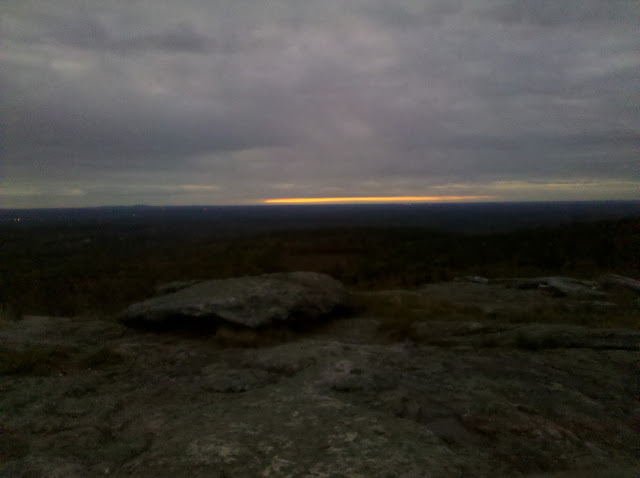
As it turns out, that was pretty much it for the sunrise. I hung around for a few more minutes at the off chance the sun actually rose through one of these openings in the clouds, but it never happened. Here's the same view towards Portsmouth as the skyline faded to a grey blend with the clouds:
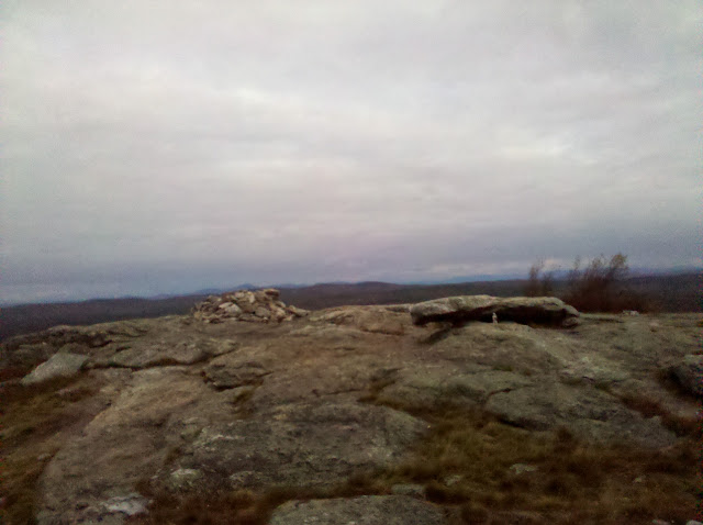
And towards the north, withe Belknaps peeking over the summit cairn. The Ossipees are shrouded in clouds, and Chocorua is off to the right in the FAR back behind that tree. It was visible to the eye but not so much in the pictures. On a clear day you can see Kearsarge, Monadnock, the Atlantic, the Presidentials, and much more...
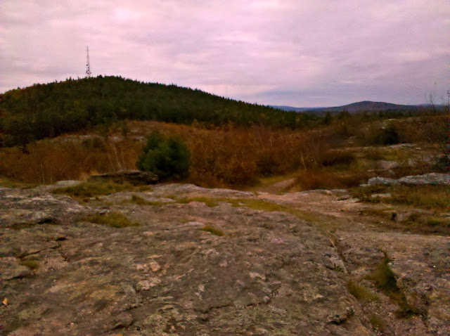
I heard some dogs barking in the distance towards Blue Job, which, is not uncommon in the least at these hills. Might as well be the "dog walking park" of Farmington. That's how it seems some days. With good reason! I meandered down between the two peaks to what is known as "Duck Pond" and snapped a few shots along the way. Here's the trail back down, and a look over to Blue Job on the left and Mack Mtn on the right.
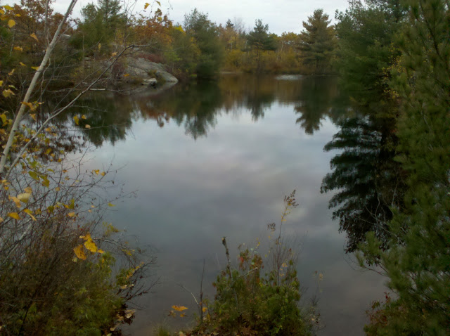
And the picturesque little pond.
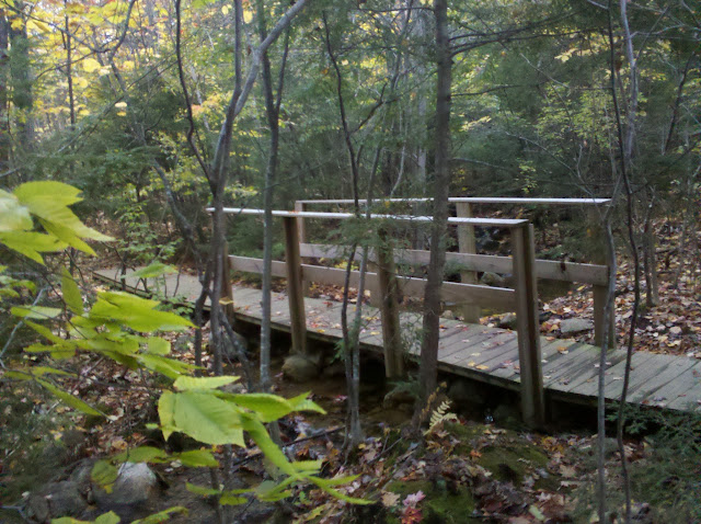
With my goal complete, I wandered back to my car. Here's a picture of a lovely little crossing and bridge, one of a few on the way.
Full pics:
https://plus.google.com/u/0/photos/113151684718025230301/albums/5666291796695170481
What a great way to start the day! Thanks for reading.
Note that only part of the trail system actually shows up on Acme Mapper topo. There are 3 "marked" trails that loop over the main mountain, and the trail I took to the center of the pictures on top of Little Blue Job does not show up except as a 4wd trail (and the connecting trail between the two spots is nowhere). The parking lot is located off 1st Crown Point road, off picture a bit at the bottom at the "height of land" between Blue Job and Mack Mtn (not shown).


So around 5:00 I made the short trip over to Farmington and by 5:30 I was off into the dark. After a short distance I made it to the state park boundary. Shortly thereafter I came to the sign denoting the entrance to the blueberry fields. Here begins the few hundred "steep" yards of the hike. Heavily modified picture that was as best I could get without some super glare from my flash. A little bit of history, if it's not too blurry to read.

Upon reaching the intersection of the unnamed Little Blue Job Mountain trail and the 4wd/snowmobile trails, I decided to whack straight up rather than try to navigate through the wet stuff in the dark. At the top, I found...fire on the horizon. Unique, not quite what I was expecting but very neat considering the entire sky was covered in clouds except these few slivers of sky to the East. The red dot on the left is a communication tower, and the other dots below to the right are from the Kittery/York/Berwick Maine area and maybe farther up the coast towards Portland.

A different view, southeast over Portsmouth and into the Atlantic.

As it turns out, that was pretty much it for the sunrise. I hung around for a few more minutes at the off chance the sun actually rose through one of these openings in the clouds, but it never happened. Here's the same view towards Portsmouth as the skyline faded to a grey blend with the clouds:

And towards the north, withe Belknaps peeking over the summit cairn. The Ossipees are shrouded in clouds, and Chocorua is off to the right in the FAR back behind that tree. It was visible to the eye but not so much in the pictures. On a clear day you can see Kearsarge, Monadnock, the Atlantic, the Presidentials, and much more...

I heard some dogs barking in the distance towards Blue Job, which, is not uncommon in the least at these hills. Might as well be the "dog walking park" of Farmington. That's how it seems some days.

And the picturesque little pond.

With my goal complete, I wandered back to my car. Here's a picture of a lovely little crossing and bridge, one of a few on the way.

Full pics:
https://plus.google.com/u/0/photos/113151684718025230301/albums/5666291796695170481
What a great way to start the day! Thanks for reading.
Last edited:
