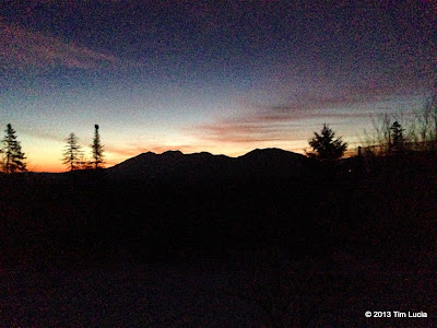
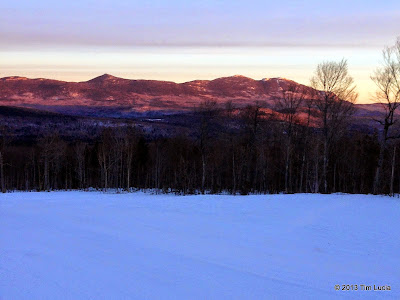
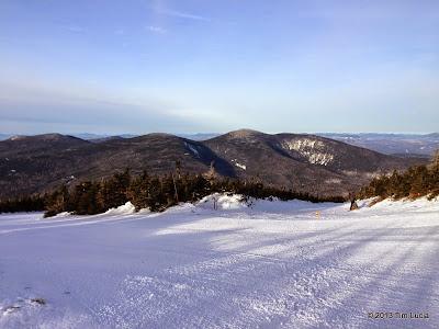
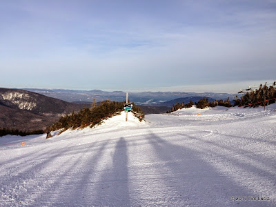
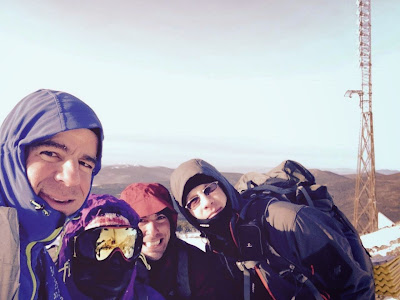
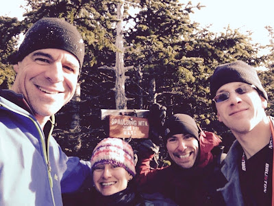
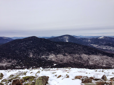
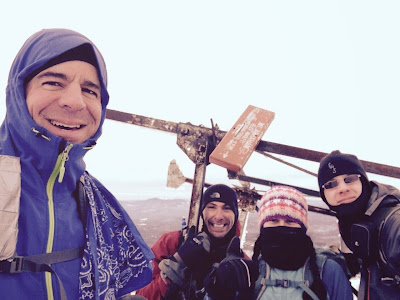
Over the New Year's extended weekend, a group of 6 of us gathered in Eustis, ME in a rented house to bag some of the western ME NE67. Myself, Chris, Whitney, Mike, Pam, and Matt arrived in three vehicles in the late afternoon on New Year's Day. Matt & I carpooled and on the way did some advanced scouting. We learned that the West Kingfield road to Rapid Stream was plowed to the former bridge location thanks to active logging. We met some loggers who assured us that the rivers were frozen enough to cross. Using the Firewarden's Trail to or from (as it turns out, both) Abraham would be a possibility.
Continuing on to Sugarloaf, we scouted the location of the golf course, and the eleventh hole tee and the bridge to it from the pump house. Follow the main road into Sugarloaf and turn right on West Mountain Road following the signs for the golf club. Immediately after crossing under the West Ridge chairlift, turn right down the hill to the golf course parking lot. Just before the lot, on the left, is a maintenance road that descends rather steeply to the pump house and bridge. Although slightly icy, my Forester (twice) and Chris' Jeep made it up and down without any problems. On the way out, we attempted to find out about purchasing the uphill access ticket, but nobody was around (it was just after 4). We did find out that the hotel at the base lodge sells all tickets, and was open from 8am to midnight. Armed with this information, we went to find Mike and Pam at the house. Matt and I made dinner the first night, and after dinner, we made a plan. Conditions were reported to be hard packed and fast - doing the Crockers and Redington in a day, and also Abraham, Spaulding and Sugarloaf in a day seemed very likely. Friday was forecast to be the warmer but much windier day, and so we opted for Crockers + Redington.
Crockers and Redington
Friday morning we awoke at 5:30, made breakfast, and took the Suby and Jeep to the pump house and parked. From here, we crossed the bridge and ascended the golf cart path to the 11th tee. Behind the tee, the woods are pretty open, and a short way in, there are the regrowing remains of a clear cut. Basically, we crossed a frozen minor stream and ascended between that stream and another slightly to the north, following roughly 245°M, which comes out around mile marker 3 on the CVR. The CVR was packed out by snowmobiles.
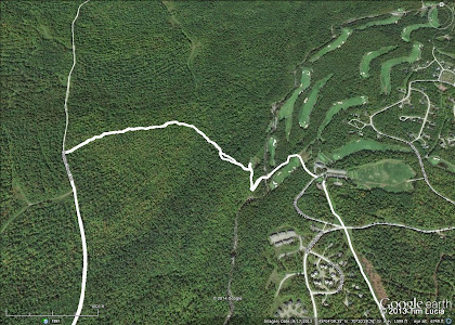
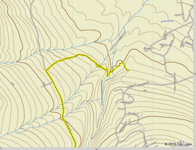
Golf Course routes to CVR (left) and Sugarloaf (right); 11th tee to CVR route showing contours and streams
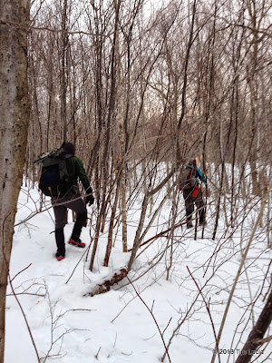
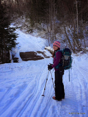
Open woods whack to the CVR; CVR "the steel bridge"
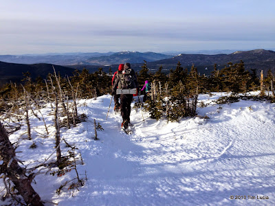
We followed the CVR across the steel bridge and to the AT crossing. The parking lot was obvious and the trail was flagged so it should be hard to miss. We continued on the AT wearing light traction until the Crocker Camp Site. Here we took a break and put on snowshoes, mainly to take advantage of the televators. At the cirque, the trail gets really steep and like many of the open sections we encountered this weekend, there was some powder to climb through. At the higher open section, the trail was harder to follow - bear to the right across the open slope and then angle left into the woods to regain the trail. At the higher elevation, the spruce blowdowns and bendovers became more prevalent, and remained that way until back to the CVR. There is obviously far less traffic on these peaks and with it far less ad hoc trail maintenance.
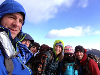
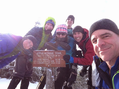
South Crocker; North Crocker
Just below the summit of South Crocker, the AT turns right to (North) Crocker. We took a minute to head up to the viewpoint on South, before shuffling gear around, having snacks, and heading off to Crocker. Although there were obstacles, the trail corridor is well-defined and easily followed. Unlike the Whites, Maine didn't get the warmer temps and rain and so the snow pack was 3-4' deep. Just below North Crocker, there was a stretch of moose post holes. Due to the snow pack, the viewpoint down from North Crocker offered better views than in the summer of 2010 when I was last there. Although it was cold and breezy, there was enough shelter and sunlight to enjoy a short break here.
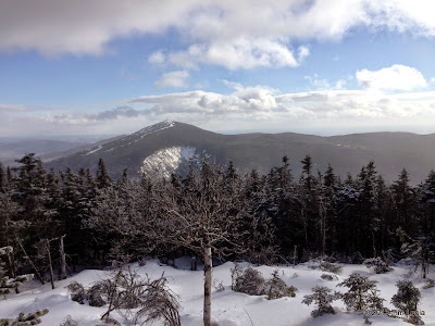
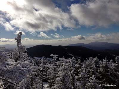
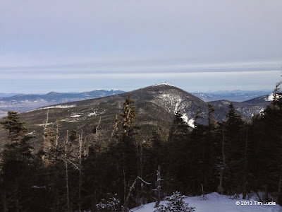
View to Sugarloaf from the Cirque; Viewpoint below North Crocker
Upon returning to South Crocker, we encountered our only other hiker of the trip - a runner on racing snowshoes, and he tagged South Crocker and took off down the AT for North Crocker. The route to Redington is flagged, and there were traces of days-old snowshoe tracks, so there was little navigational challenge. Just like last time, we ended up in the AT boundary, but turned right and the found the "herd path" (as much as one can find it under the snow) on the left - again it was flagged. The woods are pretty open and we made good time to the clear cut. Sheltered and sunny, it made for another good stopping point. The logging road was packed firm by snowmobiles and we followed it to the height of land before taking the flagged route towards the summit. This stretch was a bit gnarly - lots of mangled up spruce and some brute-forcing our way through it. Eventually it merged up with the ATV road and from there the summit was easily obtained. The canister was not frozen shut, and the single log book goes back only to June, 2014. So much for finding my entry from July 2010.
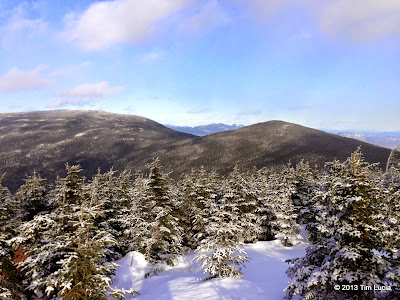
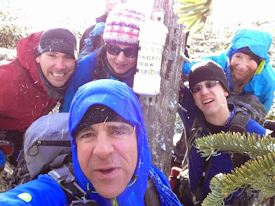
Redington view to North and South Crocker; Redington
We followed the ATV road, complete with an abundance of blowdowns and bendovers, back to the logging road/snowmobile path, and continued down to the CVR. From here back to the 11th hole was the usual slog, and was mostly easy going with only a few narrow sections as the snowmobilers kept the path clear. We finished up the day with the sun setting over the Bigelows from the 11th tee after about 9 hours / 16 miles of hiking.
(continued...)
Continuing on to Sugarloaf, we scouted the location of the golf course, and the eleventh hole tee and the bridge to it from the pump house. Follow the main road into Sugarloaf and turn right on West Mountain Road following the signs for the golf club. Immediately after crossing under the West Ridge chairlift, turn right down the hill to the golf course parking lot. Just before the lot, on the left, is a maintenance road that descends rather steeply to the pump house and bridge. Although slightly icy, my Forester (twice) and Chris' Jeep made it up and down without any problems. On the way out, we attempted to find out about purchasing the uphill access ticket, but nobody was around (it was just after 4). We did find out that the hotel at the base lodge sells all tickets, and was open from 8am to midnight. Armed with this information, we went to find Mike and Pam at the house. Matt and I made dinner the first night, and after dinner, we made a plan. Conditions were reported to be hard packed and fast - doing the Crockers and Redington in a day, and also Abraham, Spaulding and Sugarloaf in a day seemed very likely. Friday was forecast to be the warmer but much windier day, and so we opted for Crockers + Redington.
Crockers and Redington
Friday morning we awoke at 5:30, made breakfast, and took the Suby and Jeep to the pump house and parked. From here, we crossed the bridge and ascended the golf cart path to the 11th tee. Behind the tee, the woods are pretty open, and a short way in, there are the regrowing remains of a clear cut. Basically, we crossed a frozen minor stream and ascended between that stream and another slightly to the north, following roughly 245°M, which comes out around mile marker 3 on the CVR. The CVR was packed out by snowmobiles.


Golf Course routes to CVR (left) and Sugarloaf (right); 11th tee to CVR route showing contours and streams


Open woods whack to the CVR; CVR "the steel bridge"
We followed the CVR across the steel bridge and to the AT crossing. The parking lot was obvious and the trail was flagged so it should be hard to miss. We continued on the AT wearing light traction until the Crocker Camp Site. Here we took a break and put on snowshoes, mainly to take advantage of the televators. At the cirque, the trail gets really steep and like many of the open sections we encountered this weekend, there was some powder to climb through. At the higher open section, the trail was harder to follow - bear to the right across the open slope and then angle left into the woods to regain the trail. At the higher elevation, the spruce blowdowns and bendovers became more prevalent, and remained that way until back to the CVR. There is obviously far less traffic on these peaks and with it far less ad hoc trail maintenance.


South Crocker; North Crocker
Just below the summit of South Crocker, the AT turns right to (North) Crocker. We took a minute to head up to the viewpoint on South, before shuffling gear around, having snacks, and heading off to Crocker. Although there were obstacles, the trail corridor is well-defined and easily followed. Unlike the Whites, Maine didn't get the warmer temps and rain and so the snow pack was 3-4' deep. Just below North Crocker, there was a stretch of moose post holes. Due to the snow pack, the viewpoint down from North Crocker offered better views than in the summer of 2010 when I was last there. Although it was cold and breezy, there was enough shelter and sunlight to enjoy a short break here.


View to Sugarloaf from the Cirque; Viewpoint below North Crocker
Upon returning to South Crocker, we encountered our only other hiker of the trip - a runner on racing snowshoes, and he tagged South Crocker and took off down the AT for North Crocker. The route to Redington is flagged, and there were traces of days-old snowshoe tracks, so there was little navigational challenge. Just like last time, we ended up in the AT boundary, but turned right and the found the "herd path" (as much as one can find it under the snow) on the left - again it was flagged. The woods are pretty open and we made good time to the clear cut. Sheltered and sunny, it made for another good stopping point. The logging road was packed firm by snowmobiles and we followed it to the height of land before taking the flagged route towards the summit. This stretch was a bit gnarly - lots of mangled up spruce and some brute-forcing our way through it. Eventually it merged up with the ATV road and from there the summit was easily obtained. The canister was not frozen shut, and the single log book goes back only to June, 2014. So much for finding my entry from July 2010.


Redington view to North and South Crocker; Redington
We followed the ATV road, complete with an abundance of blowdowns and bendovers, back to the logging road/snowmobile path, and continued down to the CVR. From here back to the 11th hole was the usual slog, and was mostly easy going with only a few narrow sections as the snowmobilers kept the path clear. We finished up the day with the sun setting over the Bigelows from the 11th tee after about 9 hours / 16 miles of hiking.
(continued...)

