PETCH
New member
Double Shot Weekend, 10/9 and 10/11, The Cats and Honest Abe
Hike#1, The Wildcats
Date of Hike: 10/9/10
Peaks/Trails: Wildcat A thru E via Lost Pond,Wildcat Ridge, and 19mile brook Trails.
Cast of Characters: BigEarl, Sue, Peakbagger, Keith, Rob, and Petch, and Henrietta
Trail Conditions: Wet, muddy, some icing on the rocks at elevation
Trip data: about 9 1/4 miles, 3200ft ele gain, about 6 1/4 hours
For the full scoop, check out BigEarl's TR.
Just a few comments, and pics:
- Lost Pond Trail wet as I remember
- Wildcat Ridge Trail as steep as I remember, from D to A peaks was virgin trail for me.
- 19 mile brook also a flowing stream at points
- Aluminum hiking poles will sink to the bottom of a brook when given the chance
- Good day to be in the shelter of the trees
- Nice to hike with BigEarl and Sue, Dennis, Rob and Keith
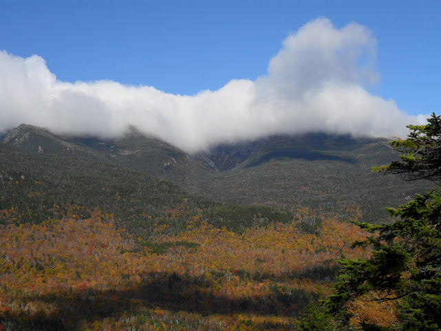
The view across Pinkham Notch
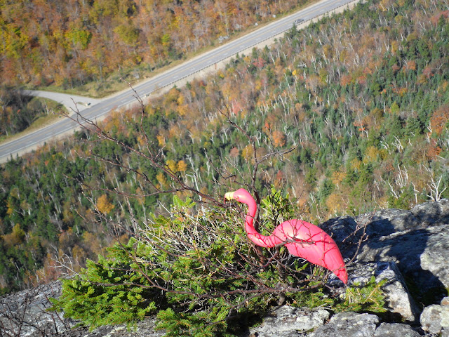
"Which way is South?"
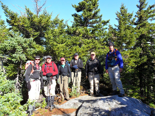
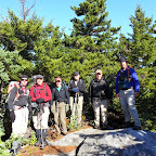
The gang is all here
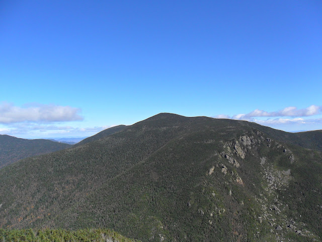
Carter Dome and Mt Hight
Slideshow ^
Hike#2, Mt Abraham
Date of Hike: 10/11/10
Peaks/Trails: Mt Abraham (ME) via Firewarden's Trail
Cast of Characters: CrazyBob and Petch, and Henrietta
Trail Conditions: Surprisingly quite dry, a few mud bogs, some iced over puddles at elevation
Trip data: about 10 miles, 3150ft of ele gain, 5 hours
A few comments, and pics:
- Another beautiful walk in the hardwoods on the approach
- Trail in great shape, with a few trail maintainers working today
- 1900ft of ele gain in 1.2 miles is a good beating
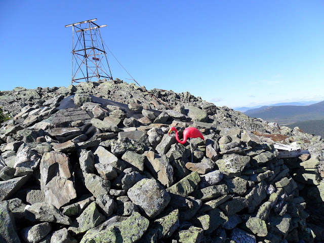
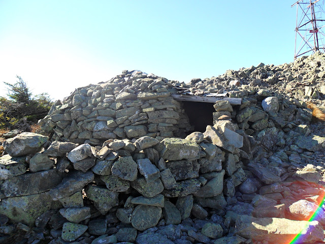
- Cool stone shelter near the fire tower littered with glass and other hiker gear
- Stone pillars at summit also very interesting
- The summit has a very "Northern Presi" feel to it
- 360 degree views on a very clear day with unlimited visibility
Mt Abraham summit
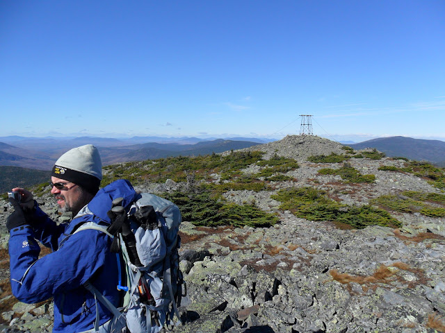
CrazyBob on the ridge
"I'm going to jump!"
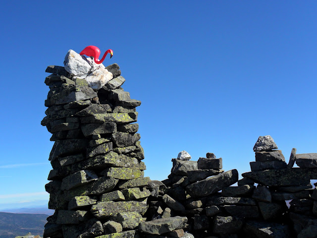
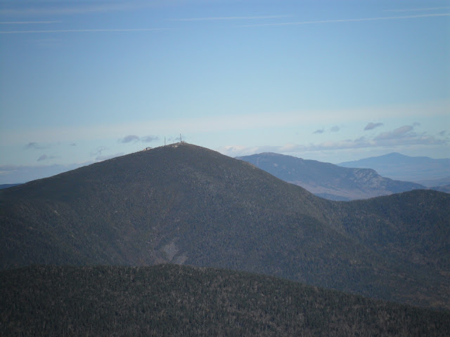
Sugarloaf and Avery Peak
Stone shelter complete with hiker garbage
Slideshow ^
Hiking Pictures:http://picasaweb.google.com/mpetcher
Ascent List:http://peakbagger.com/climber/climblistc.aspx?cid=1767
Wildcat GPS Tracks/Map:http://www.wikiloc.com/wikiloc/view.do?id=1231064
Abraham GPS Tracks/Map:http://www.wikiloc.com/wikiloc/view.do?id=1234855
Hike#1, The Wildcats
Date of Hike: 10/9/10
Peaks/Trails: Wildcat A thru E via Lost Pond,Wildcat Ridge, and 19mile brook Trails.
Cast of Characters: BigEarl, Sue, Peakbagger, Keith, Rob, and Petch, and Henrietta
Trail Conditions: Wet, muddy, some icing on the rocks at elevation
Trip data: about 9 1/4 miles, 3200ft ele gain, about 6 1/4 hours
For the full scoop, check out BigEarl's TR.
Just a few comments, and pics:
- Lost Pond Trail wet as I remember
- Wildcat Ridge Trail as steep as I remember, from D to A peaks was virgin trail for me.
- 19 mile brook also a flowing stream at points
- Aluminum hiking poles will sink to the bottom of a brook when given the chance
- Good day to be in the shelter of the trees
- Nice to hike with BigEarl and Sue, Dennis, Rob and Keith
The view across Pinkham Notch

"Which way is South?"

The gang is all here

Carter Dome and Mt Hight


Slideshow ^
Hike#2, Mt Abraham
Date of Hike: 10/11/10
Peaks/Trails: Mt Abraham (ME) via Firewarden's Trail
Cast of Characters: CrazyBob and Petch, and Henrietta
Trail Conditions: Surprisingly quite dry, a few mud bogs, some iced over puddles at elevation
Trip data: about 10 miles, 3150ft of ele gain, 5 hours
A few comments, and pics:
- Another beautiful walk in the hardwoods on the approach
- Trail in great shape, with a few trail maintainers working today
- 1900ft of ele gain in 1.2 miles is a good beating
- Cool stone shelter near the fire tower littered with glass and other hiker gear
- Stone pillars at summit also very interesting
- The summit has a very "Northern Presi" feel to it
- 360 degree views on a very clear day with unlimited visibility
Mt Abraham summit

CrazyBob on the ridge

"I'm going to jump!"

Sugarloaf and Avery Peak

Stone shelter complete with hiker garbage


Slideshow ^
Hiking Pictures:http://picasaweb.google.com/mpetcher
Ascent List:http://peakbagger.com/climber/climblistc.aspx?cid=1767
Wildcat GPS Tracks/Map:http://www.wikiloc.com/wikiloc/view.do?id=1231064
Abraham GPS Tracks/Map:http://www.wikiloc.com/wikiloc/view.do?id=1234855
