Garfield on Friday - Open invite

vftt.org

Help Support vftt.org:

This site may earn a commission from merchant affiliate links, including eBay, Amazon, and others.

peakbagger

In Rembrance , July 2024
Joined
Sep 3, 2003
Messages
8,639
Reaction score
689
Location
Gorham NH
Hi all, given the forecast and the open Sawyer River Road, I plan to do the out and back up Carrigan via Signal Ridge Trail this Friday Nov 23. I plan to leave the trailhead at 8 AM to take advantage of daylight. If you would like to join me drop me a PM. As Big Earl and others will attest, I have a slow and steady pace going uphills.
 
......
As Big Earl and others will attest, I have a slow and steady pace going uphills.
Yup, Peakbagger has an ideal uphill speed for me.

Enjoy the hike. Due to unfortunate timing, we already have hiked Carrigain earlier this month.

Ditto - Garfield.

:cool:
 
Last edited:
I still plan to hike on Friday but the mountain is up in the air due to change or plans. Probably Garfield or twins. I will post the final location Thursday evening. The trailheads are all nearby so it shouldn't screw up any travel plans.
 
Hmmmmm, Garfield would interest me as well. I'll be checking on your plans late tomorrow.
Chris
 
I cant edit the title but the plan is Garfield. I am picking up Chip in Bethlehem at 7:30 AM. I figure we should be at the trailhead and ready to go by 8:00 AM.
 
We had a nice hike today. Great to meet you, Peakbagger/Dennis and Chip, and nice to meet Dave, your nephew, Chip. Great day for a hike. Thanks for waiting for me as I hiked a bit slower than you - esp my fellow nutmeg hikers. What a beautiful day, nice 6+ hour hike, including a short stay at the summit. Because the prevailing winds were SW, we were shield for the most part until we got to the summit, where the base speed was about 25 with gusts to 40 - I shed my cap quickly in order to save it. Glad I was able to scramble up the icy stretch of A.T. to the summit, even though I neglected to bring my spikes. Dennis, thanks for guiding me through that and for being willing, had it been necessary, to lend me your own spikes. Funny thing is, true to form, I got up and down the summit cone without incident, then proceeded to fall four times in the mile or so below the Garfield Ridge Trail junction, mostly b/c trying to keep up with my speedy hiking partners and not always exercising full care, fatigue was also a factor.

Anyhow, it was a beautiful day for a hike - I got the clearest view yet of Camel's Hump from a White Mountain. It was quite cold, in addition to windy, up top, so we didn't tarry long - I took in the full 360 of views, but didn't get all 360 of photos. We got cold pretty quickly when we paused for long, so we didn't do so often.

Got some pretty good shots of the Pemi, of Franconia Ridge, the Twins and the Presi's peeking over, and got some good shots of natural snow sculptures on the stretch of the Mt. Garfield Trail above 4000 feet, which had some pretty snow - a few inches. Nice, nice hike. Will post pics later, after I've uploaded them to storage from my phone.

PS: Chip and Dennis - hope you might've gotten some shots of some of the angles I missed, would enjoy seeing your pics if you like. Also, Chip, in the haste of the past 24 hours, I didn't put two and two together, that your are the "Fencer Ferst" guy. Yours is my favorite avatar here - thanks for the laughs - it always gives me a chuckle.
 
Last edited:
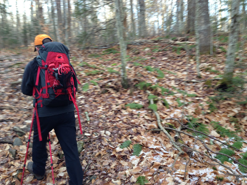
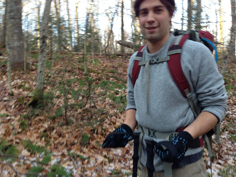
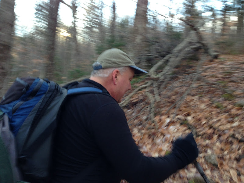
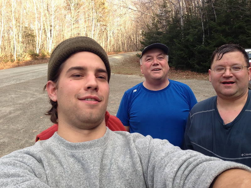
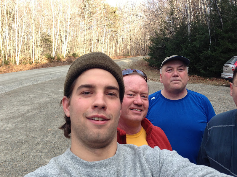
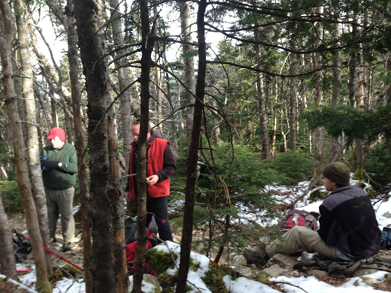
Some pics from the Friday Garfield Hike. The first few are of Chip, Dave and Dennis, in the first mile near the brook:

iPhone%2520Photographs%2520163.JPG


iPhone%2520Photographs%2520164.JPG


iPhone%2520Photographs%2520165.JPG


Here are my three partners taking a lunch break just before the Garfield Ridge Trail junction. Because it was pretty cold, a bit below freezing, and sure to be windy at the summit with a southwest windy swirling around here and starting to hit us a bit, we took our lunch here before we took on the summit cone.

iPhone%2520Photographs%2520168.JPG


Just as we left our lunch spot, we passed one of the two hikers we'd seen at the parking area with us at the start. He reported that spikes were a necessity, especially at one nasty spot up high. This worried me, but I decided that with experienced partners, I'd give it a try. Dennis generously offered to lend me his if need be, as he didn't need to summit for a list. I thanked him and we gave it a go. Passed the other of the two hikers we'd met at the start - he was more optimistic. Said there was one nasty spot near the top which might require a bushwhack if one went without spikes. Onward and upward. I had to scramble twice, but it got better after the nasty spot, which did take care but was passable on all fours. The last 75 yards to the summit were fine.

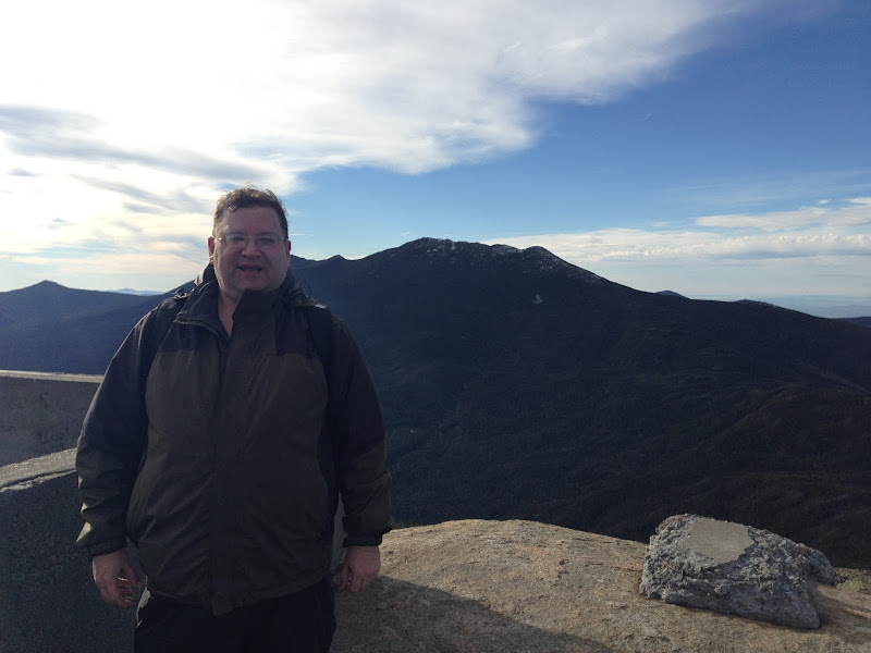
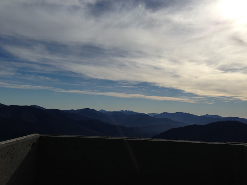
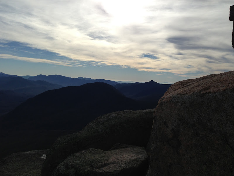
Here are some summit views, starting with one of me in front of Franconia Ridge, courtesy Chip, then a look from the Bonds to the Tripyramids across the old summit house foundation, Carrigain to Tecumseh, then part of Passaconaway to Flume, with Cardigan hovering faintly to Flume's right.

iPhone%2520Photographs%2520177.JPG


iPhone%2520Photographs%2520178.JPG


iPhone%2520Photographs%2520179.JPG


iPhone%2520Photographs%2520180.JPG


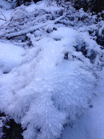
The views were sterling. In the cold wind, we rushed to move along, so I didn't get the full 360 of photos. On the way down, maybe a quarter mile past the Garfield Ridge junction, Chip and Dave, who ran ahead of me and Dennis most of the way, paused at a fortunate spot. When we caught up to them, I noticed these pretty snow sculptures aside the trail and took a couple of pictures. Here's one:

iPhone%2520Photographs%2520182.JPG


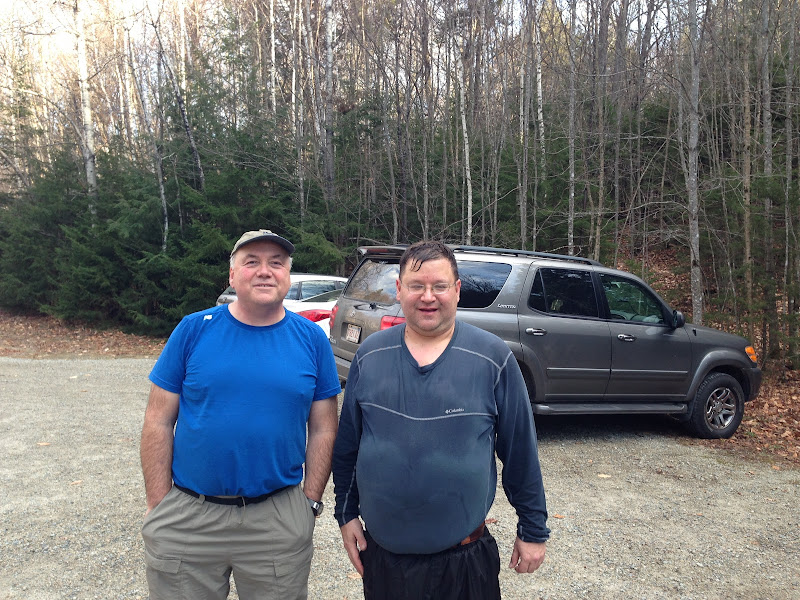
We hustled down to the parking area, and I slipped four times in spots where the ice was melting. Nothing too serious, as I've long since learned there's a way to fall if one must, relax and let if happen if it's going to and you're not on a steep slope. Here are a few pics of the gang, a couple by Dave's outreached right arm and one of Dennis and me thanks to Chip.

iPhone%2520Photographs%2520186.JPG


iPhone%2520Photographs%2520187.JPG


iPhone%2520Photographs%2520188.JPG


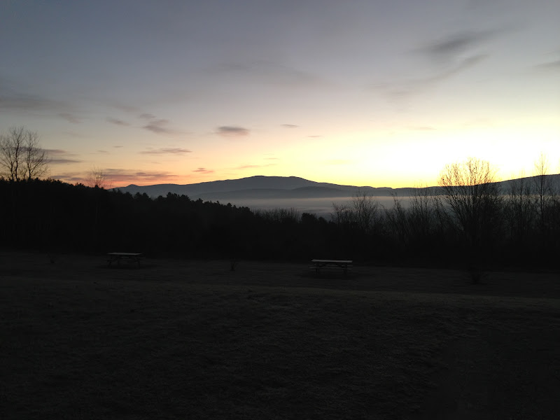
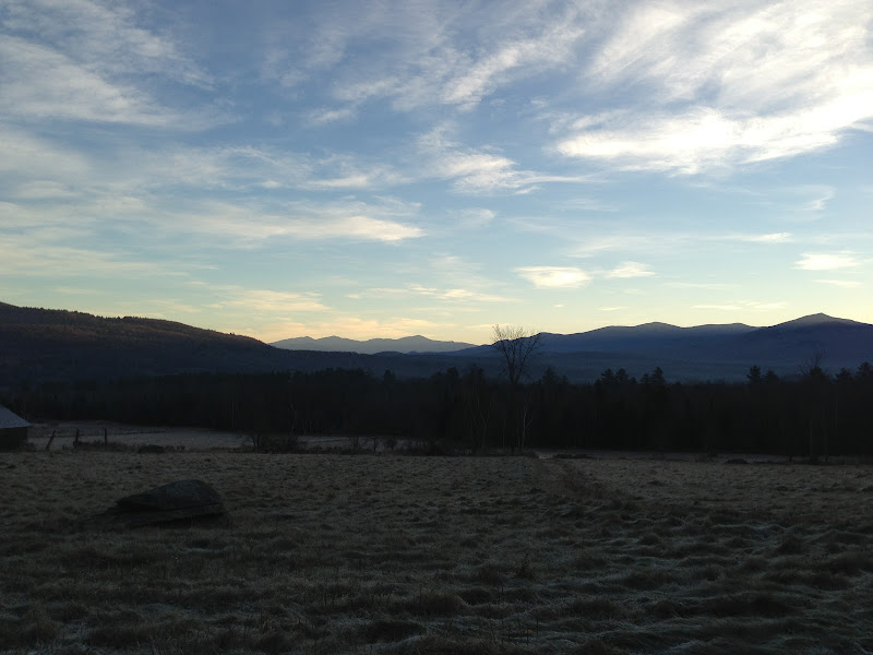
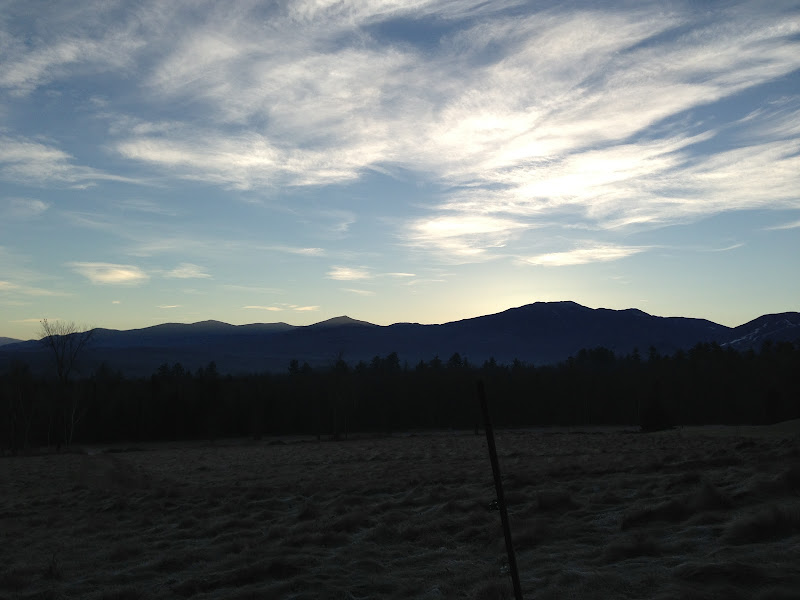
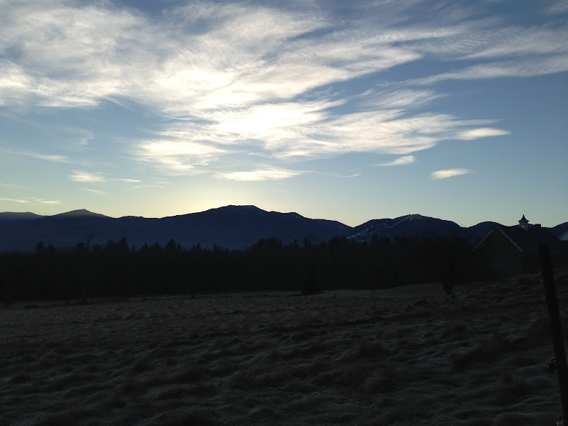
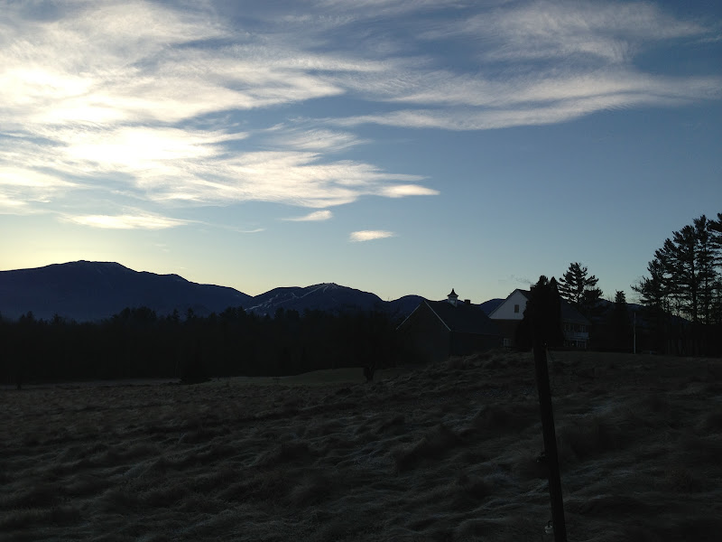
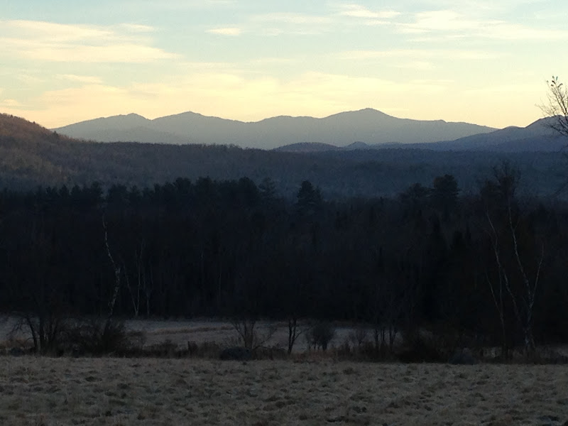
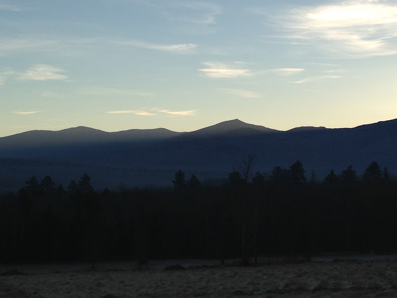
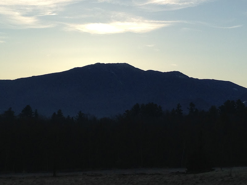
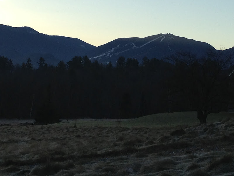
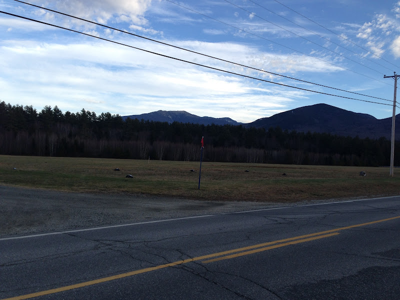
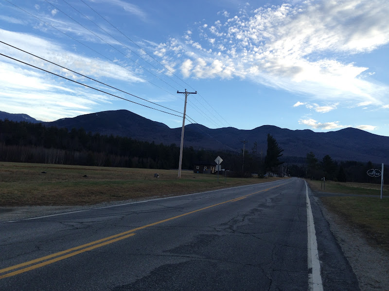
All in all, a fun hike. Thanks to Dennis, Chip and Dave for the good company. Dennis is one of the smartest people I've ever met, and I've met some smarties along the way. I took some photos on the drives up and back, will share those in the next post.
 
Last edited:
Here are some photos from the road. The first is of Moosilauke from the rest area on I-91 with a fine overlook - I call it the Moosilauke Rest Area - it's near mile marker 100 northbound. The fog of the morning remained settled in over the Connecticut River and the early sun rays shone over the big mountains. It was about 6:15 am:

iPhone%2520Photographs%2520148.JPG


This is one from an open field on Rt. 117 between Sugar Hill and Franconia, Presidentials in the center, Twins and Garfield to the right:

iPhone%2520Photographs%2520152.JPG


Here are a few more from the same spot:

iPhone%2520Photographs%2520153.JPG


iPhone%2520Photographs%2520154.JPG


iPhone%2520Photographs%2520155.JPG


Enlarged views of the Presis and westward in the following shots:

iPhone%2520Photographs%2520159.JPG


iPhone%2520Photographs%2520160.JPG


iPhone%2520Photographs%2520161.JPG


iPhone%2520Photographs%2520162.JPG


Finally, a couple shots from 116 south of Franconia, on the way home:

iPhone%2520Photographs%2520189.JPG


iPhone%2520Photographs%2520190.JPG
 
Last edited:
Top