Mudrat
Member

Pictures
Also read..."Hitting the Bottle on Giant Mountain" on Adirondack Almanac
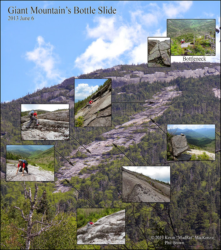
Phil Brown (adkeditor) and I climbed the Bottle Slide on Saturday, June 1. A week ago it was covered in feet of snow…not on Saturday! We baked in 90F weather and didn’t see a bit of the white stuff.
The bushwhack was typical for the area; break off the Roaring Brook Trail at 2,600’ in elevation and cross Roaring Brook. The herdpath was ravaged by Irene, but who needs a path?! A porcupine made a brief appearance as it sauntered across our path. By the time I got the camera out it had buried its head in a nook of stone under some deadfall. I crawled on my belly to get a decent shot…of its rear. Oh well.
It took us about 2.5 hours to reach the base of the slide, the last 400 vertical feet being the most pleasant as we climbed up the clean drainage via slab and stacked boulders. The initial climb, however, was on top of the ridge separating the Bottle and Diagonal as well as high up the bank of the drainage. There was heavy blowdown in some areas to keep it interesting.
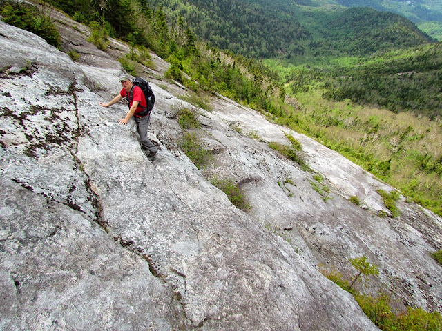
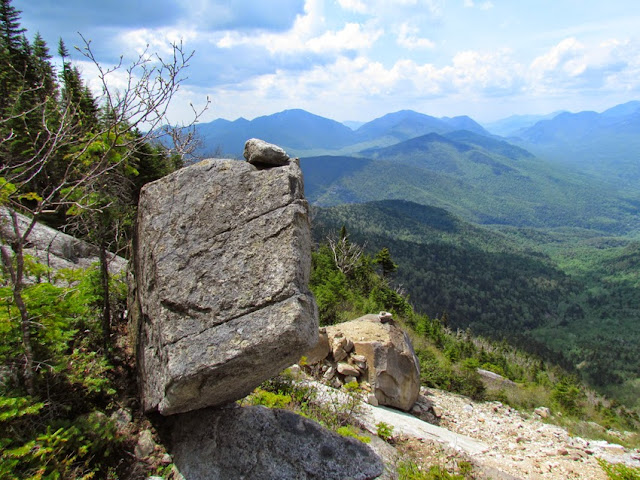
Once on the Bottle, it was a straightforward climb. It’s been about four years since I’ve been up this slide, so it was nice to revisit. We made it a bit more challenging by climbing the ledge sets rather than scooting up the slab to the side. The headwall is the steepest area, but has plenty of holds to keep it comfortable. Midway up the last run, I found a weathered bridge of stone still in place as expected…a feature that stood out in my mind from 2009.

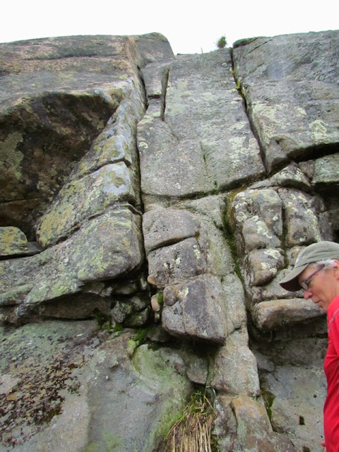
The crux of our day would be a technical climb up the cliff on the ridge…a route called the “Bottleneck” (5.5 per Adirondack Rock). The base is just beyond a dominant overhang in the cliff. At this point the wind picked up considerably and the sky got dark. Looking at the route, it appeared ‘easy’ from the bottom, nearly vertical but with plenty of holds and a defined hand crack. It’s not so easy up higher. Phil brought several large cams as well as rope; we were well prepared. The crux (in my opinion) was where the face transitioned to more mildly sloped slab (60 or 70 degrees). The crack became less defined and was wet and slippery.

Eighty feet up the face at the belay point with a view framed by krummholz, we ate lunch and relaxed as the skies brightened. It seemed like the weather would hold. A few minutes of hiking found us on the summit. A couple hours of hiking down the trail got us back to our vehicles around 4:30 p.m. Contrary to the weather forecast, the day had remained dry.
Taking advantage of the nice weather, we decided to solo the Empress route on Chapel Pond Slab. All went well as we passed the loose flake of stone and traversed over and upward. It’s always that one cloud that you can’t see that surprises you. We were about 200 feet up the face when two raindrops became 100 which became a downpour. Moments later, recessions in the slab became brooks. Needless to say we took the shortest track off and onto the ledges adjacent to the south gully. Some careful footwork on wet mossy ledges amongst the trees found us down at the base about a half hour later. The Empress didn’t want to be climbed, but that’s just an excuse to go back another day.

