Papa Bear
New member
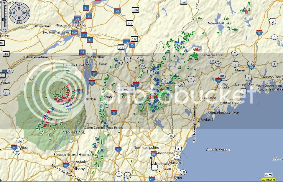
I put together a master Google map some time ago but then forgot about it. Then a request came up in another group about Maine Prominent peaks and I dug it up.
The map displays the peaks from various lists according to a pull down menu. When a particular list is displayed, you can click on a particular peak and get the appropriate info. This in oriented to my hiking, since I built the map for myself. But it should have value for anyone interested in what's there and how one particular peakbagger did the peaks. You can also click on a link in the infoWindow which will bring up another map, just for that particular peak. This single peak map could be useful in your own planning for a climb (it's a topo map by default). Alternatively, you can bring up my report for when I climbed it.
If you're interested in customizing it for your own hiking, talk to me. A good understanding of JavaScript would be helpful.
Here's the map for the 4Ks: GMap for NE 4Ks
From this map you can get the other lists by using the drop down menu in the upper left of the map. You can save the URLs for each list, but you really need not do that, since you can get to any list from any of the starting points. The map type is also a drop down in the upper right. This includes the new Canadian Vector topo maps when you're on the boundary.
Note: The US Topo tiles come from the Terraserver which is occasionally unreliable. I tried to get a user key to use MyTopo, but they went commercial. Besides the Canadian tiles, the rest are normal Google types.
PS: I developed the map on Mozilla Firefox, but it also works fine on Chrome, Safari and Opera. IE can be flaky - sorry, they don't pay me enough
Last edited:

