GoogleEarth Screenshot Quiz

vftt.org

Help Support vftt.org:

This site may earn a commission from merchant affiliate links, including eBay, Amazon, and others.
Bikehikeskifish has got #9. Good Job, Tim! A few years ago someone here (I think maybe Puck) helped me to plan a bushwhack in this area to make a loop hike of Doublehead, Squam, Percival, and Morgan. This is a nice range to hike in the spring, as the smaller, more southern peaks lose their snow and dry up earlier than the bigger peaks to the north.


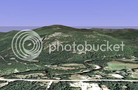
Here's a wider angle view of #8. I hope that it helps!
WM8asmall.jpg
 
#7 Three Ponds with Carr Mtn. in background

(PM'd # 8)
 
carole got #7! She's got two now.

The popular loop hike that I spoke of utilizes the Three Ponds trail, The Donkey Cutoff, and the Mt. Kineo trail. I've camped with my family several summers near Warren on the west side of Mt. Carr and I enjoy hiking up the Batchellor Brook snowmobile trail, which long ago was the northern end of the Three Ponds Trail, into the Three Ponds Area. From there I can do the loop I just mentioned, or continue over Mt. Carr east to west for a really long loop back to Warren. Mohamed wrote on VFTT a long time ago about planning to red-line some of these little-used trails, but I don't know if he did them. It's a beautiful area.

Here's another clue that might give away the last one, #8: The highest point visible in #8 is visible in #7. It shows better in the wider-angle view of #8.

Keep trying!
 
You've Got Them All!

marchowes got the last one. #9 is indeed Rattlesnake Mt, which is known to climbers as Rumney Rocks. The climbers access the rocks right from Buffalo Road, while the hiking trailhead is farther west on that road. Rumney Rocks is considered by some as some of the best sport climbing in New England. The hike to the summit isn't long, and the trail is nice. The summit ledges offer sweeping views of the Baker River Valley, and are a great place to relax in the sun.

Thanks for looking at this thread. I've enjoyed it.
 
Nice shots from this GoogleEarth. I see it is a free download. How easy of a download and learning curve to use?
 
Google Earth

Carole - I haven't had any trouble with downloading or using it. There is an on-line community of Google Earth users that share various data to enhance their use of it, but I haven't looked into that at all. Maybe someone else can comment on advanced features.
 
We've been using the "free" version (that you don't have to sign up for) but it's loaded with other users waypoints or markers. I assume the version you sign up for is free of others markers ? Like the summit of popular mountains or attractions are so riddled with markers you can't see the features.
 
Chip said:
We've been using the "free" version (that you don't have to sign up for) but it's loaded with other users waypoints or markers. I assume the version you sign up for is free of others markers ? Like the summit of popular mountains or attractions are so riddled with markers you can't see the features.
I'm not at home, but can't you turn them off via the controls?

You might find some of my way points in CT soon, Chip! :D
 
Tom Rankin said:
I'm not at home, but can't you turn them off via the controls?
:D
probably, my younger son is the one using it the most. I guess my bigger question is if there's any additional/better features on the version you sign up for.

Kind of cool - we were looking for the Space Needle in Seattle and didn't think we were locating it until we saw the HUGE shadow it cast across the neighborhood, no 3d effect on the Needle itself. Rainier and Mt St Helens were cool though.
 
The paid version adds things like GPS import/export, but you can do that yourself easily for free with software called GPS Babel which can read tracks and points from your GPS and write a KML or a GPX file, either of which Google Earth can read.

Otherwise, the free version pretty much does everything you might want to do. Admittedly, the editing features (cleaning up track lines) are limited, and I still haven't found a way to split a track or to join multiple tracks without resorting to loading the XML itself into Emacs, but otherwise it's all there.

You can control the other points you're seeing ... just check and uncheck in the "Layers" panel on the bottom left. Some of that stuff is pretty cool, though, so take a look and see what they already have when you're going to explore an area. Just don't turn *everything* on because it will drag your machine to a crawl. :)
 
Top