April 2021
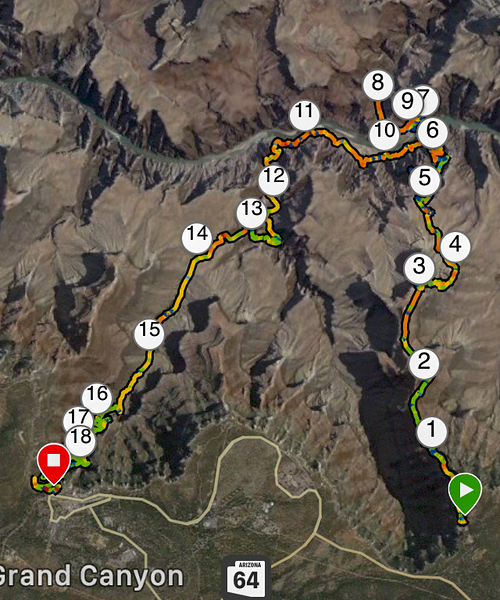
Took the 6am Hiker's Express shuttle to the trailhead of the South Kaibab Trail, went down to the Colorado River and to Phantom Ranch, and then returned to the rim via the Bright Angel Trail. The Silver Bridge was under construction, so the Black Bridge had to be used for both river crossings. This caused a bit of back-tracking and extra mileage hiking along the River Trail, which was nice. There was a refreshing amount of common sense on the trail with regards to mask-wearing. Lucked out with slightly cooler temps and some cloud cover versus the previous few days.
The theme for today was simple: "Some day I will not be able to do this, but today is not that day." I would try to absorb all the sights and sounds and smells of this amazing place. I had briefly (very briefly) tinkered with the idea of doing a Rim-to-Rim-to-Rim. But I hadn't hiked since September, and a R2R2R attempt would have been futile. Again, I wanted to take my time and enjoy this place, not start and finish in the dark, suffer through it, out of breath, staring down at the dirt. Start to finish today ended up being 10 hours, and the stats on my GPS watch showed more than 1/3 of that time was me "not moving". That was 3.5 wonderful hours of taking photos and video, eating, drinking, and mostly just sitting and staring.
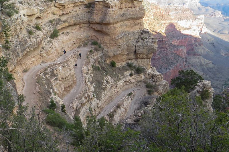
The South Kaibab Trail begins with lots of switchbacks.
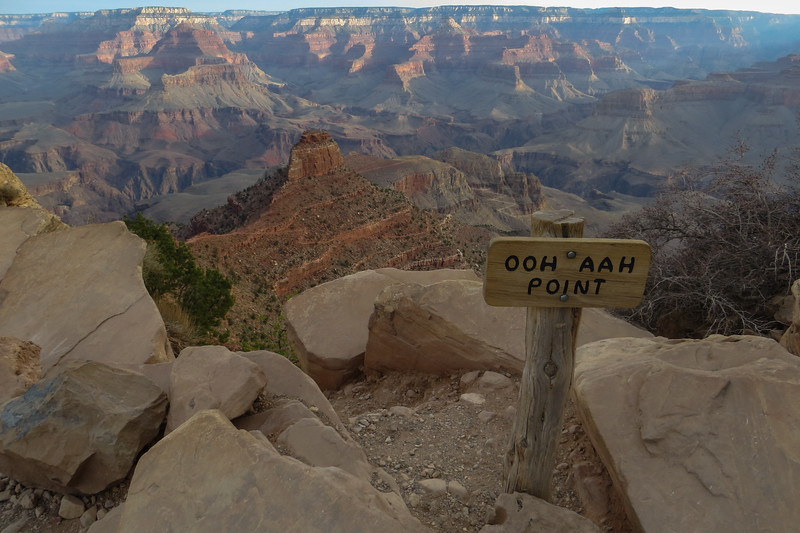
Less than a mile down the South Kaibab Trail, the aptly named Ooh Aah Point delivers the first expansive views.
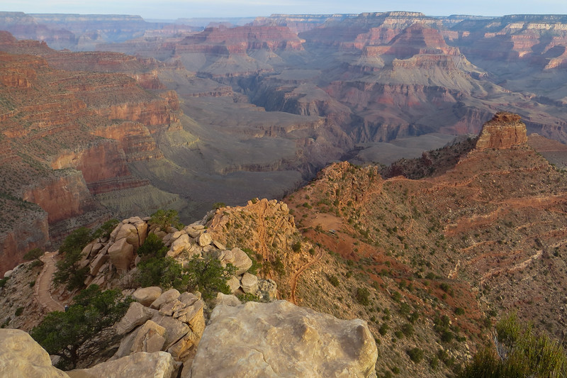
Dropping off Skeleton Point toward the Tonto Platform.
Quick note on photographing people. Although there is no expectation of privacy when you're in a public place, I will generally try not to intentionally photograph strangers whenever possible. One exception to this is that I will photograph them if their placement helps to reveal a sense of scale to the landscape, and if they're far enough away that their face/identity is not revealed. I was solo, so those tiny people in these photos are strangers.
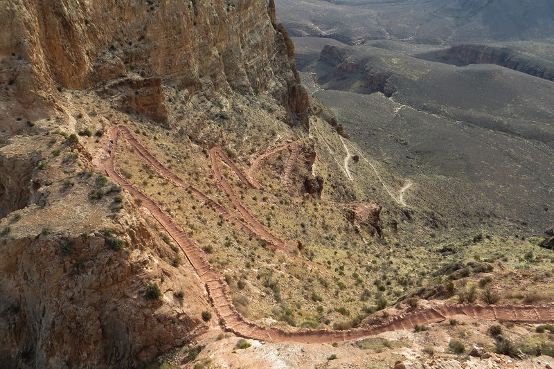
View of Siver Bridge and more from The Tip Off
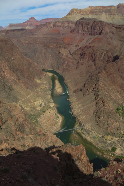
View of Black Bridge
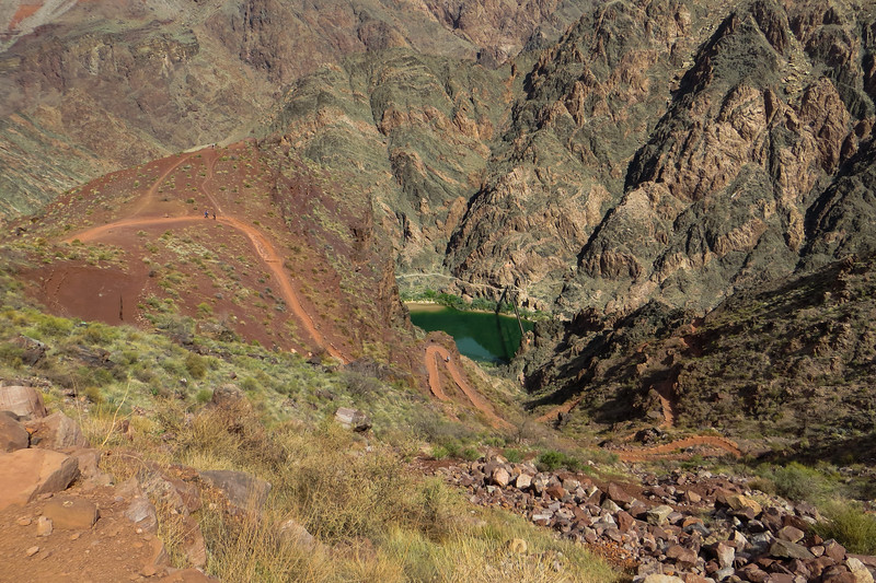
At the Colorado River. Looking back at the Black Bridge emerging from the rock tunnel.
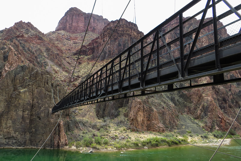
After eating my lunch on a bench outside at the Phantom Ranch area, which isn't very photogenic, I back-tracked across the Black Bridge and turned west onto the River Trail which not surprisingly parallels the river. This would take me past the Silver Bridge and onto Bright Angel Trail.
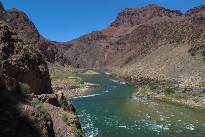
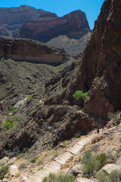
Ascending the Devil's Corkscrew section of the Bright Angel Trail.
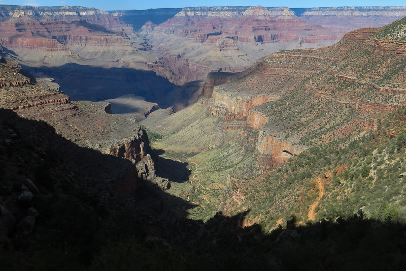
Approaching the rim, looking back down at Indian Garden and beyond.
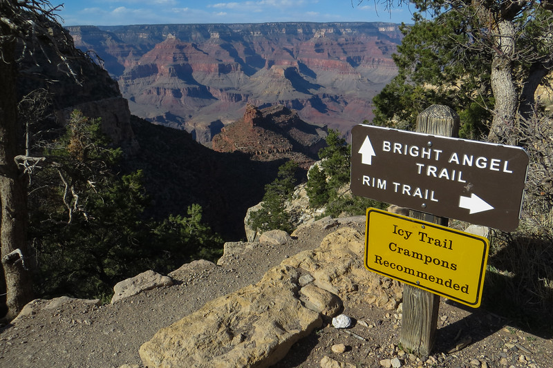
Finished
Love my Garmin watch
Took the 6am Hiker's Express shuttle to the trailhead of the South Kaibab Trail, went down to the Colorado River and to Phantom Ranch, and then returned to the rim via the Bright Angel Trail. The Silver Bridge was under construction, so the Black Bridge had to be used for both river crossings. This caused a bit of back-tracking and extra mileage hiking along the River Trail, which was nice. There was a refreshing amount of common sense on the trail with regards to mask-wearing. Lucked out with slightly cooler temps and some cloud cover versus the previous few days.
The theme for today was simple: "Some day I will not be able to do this, but today is not that day." I would try to absorb all the sights and sounds and smells of this amazing place. I had briefly (very briefly) tinkered with the idea of doing a Rim-to-Rim-to-Rim. But I hadn't hiked since September, and a R2R2R attempt would have been futile. Again, I wanted to take my time and enjoy this place, not start and finish in the dark, suffer through it, out of breath, staring down at the dirt. Start to finish today ended up being 10 hours, and the stats on my GPS watch showed more than 1/3 of that time was me "not moving". That was 3.5 wonderful hours of taking photos and video, eating, drinking, and mostly just sitting and staring.
The South Kaibab Trail begins with lots of switchbacks.

Less than a mile down the South Kaibab Trail, the aptly named Ooh Aah Point delivers the first expansive views.


Dropping off Skeleton Point toward the Tonto Platform.
Quick note on photographing people. Although there is no expectation of privacy when you're in a public place, I will generally try not to intentionally photograph strangers whenever possible. One exception to this is that I will photograph them if their placement helps to reveal a sense of scale to the landscape, and if they're far enough away that their face/identity is not revealed. I was solo, so those tiny people in these photos are strangers.

View of Siver Bridge and more from The Tip Off

View of Black Bridge

At the Colorado River. Looking back at the Black Bridge emerging from the rock tunnel.

After eating my lunch on a bench outside at the Phantom Ranch area, which isn't very photogenic, I back-tracked across the Black Bridge and turned west onto the River Trail which not surprisingly parallels the river. This would take me past the Silver Bridge and onto Bright Angel Trail.

Ascending the Devil's Corkscrew section of the Bright Angel Trail.

Approaching the rim, looking back down at Indian Garden and beyond.

Finished

Love my Garmin watch

Last edited:
