DougPaul
Well-known member
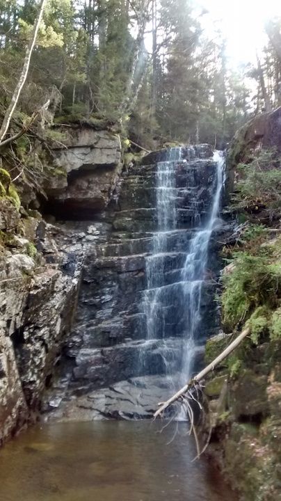
The USGS Geographic Names Information System lists Hawthorne Falls as:You probably already did this research, Becca, but a Google search of "Hawthorne Falls New Hampshire elevation" just now gave me several quotes in the 3030'-3070' range. Looks like it might be in that flattish part where you veered east from the brook due to the blowdowns. Those references also give GPS coordinates, in case you hadn't tracked them down.
Entry Date: 01-Feb-1991
Elevation: 3061ft/933m
44.1950646N 71.6009152W, NAD83
http://geonames.usgs.gov/apex/f?p=136:3:0::NO:3:P3_FID,P3_TITLE:873054,Hawthorne Falls
See also: http://mapper.acme.com/?ll=44.19506...0=44.19506,-71.60092,44.1950646N 71.6009152W
For general use:
http://geonames.usgs.gov/
http://geonames.usgs.gov/pls/gnispublic/
Note: the difference between between NAD83 and WGS84 (the default GPS datum) is only about 1 meter over much of the US so they can be considered to be equivalent for consumer GPSes.
Doug
Last edited:

