PETCH
New member
Peaks/Trails: North and South Hancock via Hancock Notch, Cedar Brook and Hancock Loop trail (clockwise)
Date of Hike:: January 22, 2011
Trail Conditions: Packed snowshoe track with stream crossings snow-bridged or rock hoppable.
Special Equipment: Snowshoes.
Cast of Characters: CrazyBob, Jim and Petch.
Commentary:
Zero degrees at the hairpin turn parking lot at 8am. A group of accomplished hikers (judging by the vanity license plates) heading out just after us. I got a PM that HikerEd and some folks were doing the hike, so that must have been them. Licence plate: NE67x12. Enough said.
The trail was broken out pretty well, and we began our walk in the woods about 8:15am. It was just beautiful out. Clear and calm with snow laden trees. We made good time up to the first junction and began up the Cedar brook trail. The crossings were either snow bridged or rock hoppable. Then we made it to the next intersection and came across two hikers who had already summited both peaks. It was only about 9:30am at this point, so these guys must have started pretty early.
Onward up the Hancock Loop trail we traveled to the split in the trail. I've only done this trail once a couple summers ago and remember the climb and descent being pretty brutal. A relatively flat approach for miles, means time to pay the piper.
“On the trail to Hancock, aboard the Thailand Express……” Rush 2112
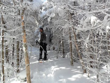
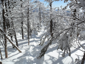
With colder than normal temps and fresh snow, this weekend was a good time for testing Winter gear. I'm on my 2nd season with my Cabelas Snowrunner boots. They are working very well, keeping my feet warm even during the breaks. Snowshoe wise, I know many will disagree, but for steep terrain I think the Tubb Flex Alps cannot be beat. The trail going up to North Hancock (and South for that matter) is pretty darn steep. It looks like about 1100ft in about .6miles.
It's a good test for traction. We had three different types of snowshoes amongst us: Bob had the MSR Lightning Ascents, I had the Tubbs Flex Alps, and Jim was "kickin it old school" with some older MSR Denali classics. Of the three of us, I was getting the best grip. The crampons on the Flex Alps are very similar to my G10 crampons, and they bite like nobodies business.
But regardless of traction, I was breathing like I was climbing Everest. Taking half a dozen steps, then coughing up a lung, taking some more steps....that trail is steep. I have what I'll call- exercise induced asthma. Whenever I exercise, especially in cold weather, I just can't seem to get air in the lungs. I carry an inhaler, but in real cold weather it doesn't seem to help much.
We ran into one other gentlemen coming down from North Hancock, just before we hit the top. Then we headed over to the Outlook to see what we could see.
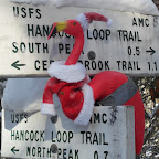
This is a story about a man……..and his bird
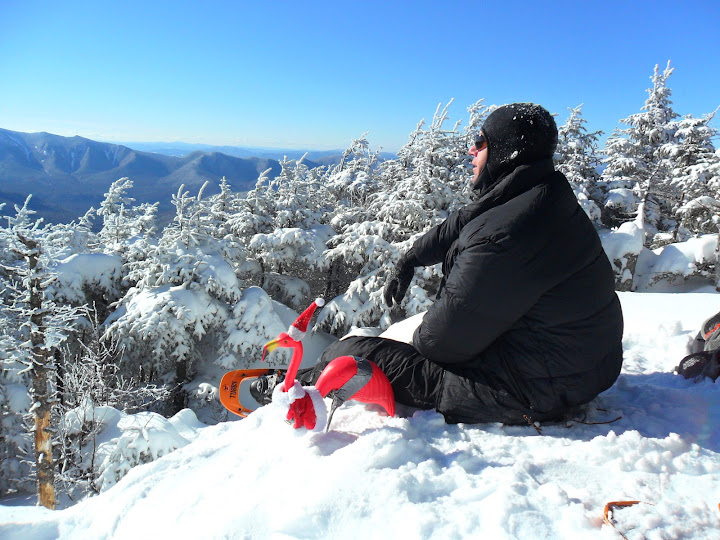
Osceolalas and Scar ridgicous
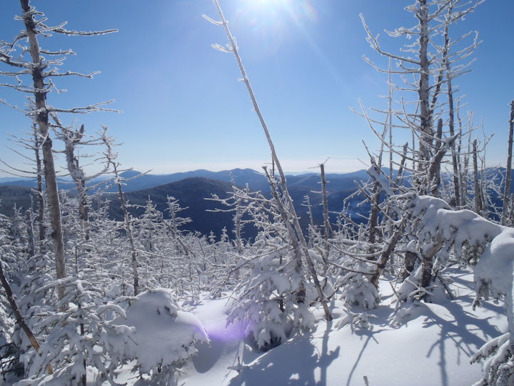
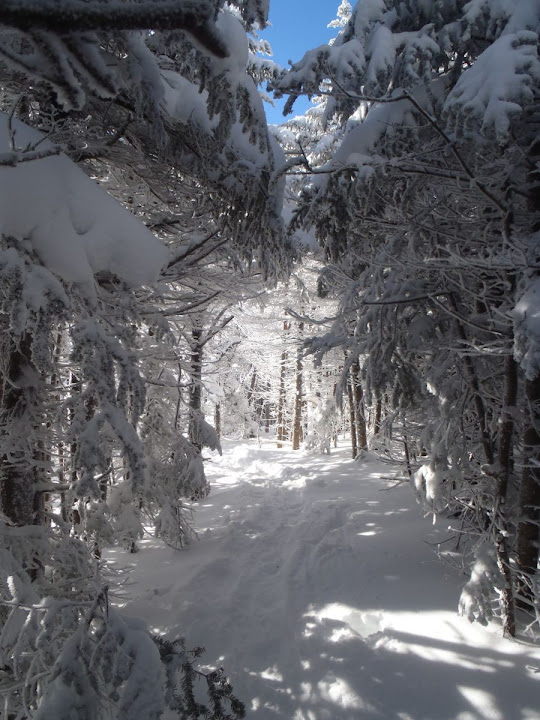
Then we began our 1.5 psuedo ridge walk over towards South Hancock. The snow up in this area was deeper and a little more unstable. Real pretty walk with the snow, trees, sun.....
Beautiful conditions up along the ridge
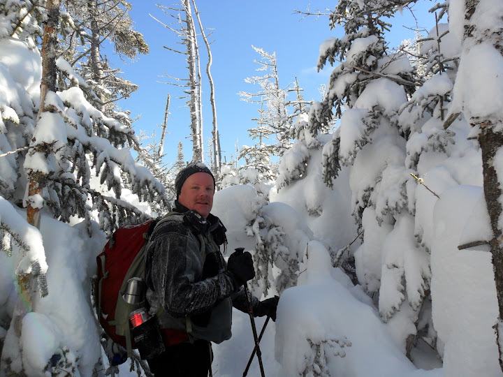
We hit South Hancock at high noon. We didn't linger long as the wind was coming through the trees putting the chil right to us. Then, the steep descent. As much as I tried to stay upright, I kept falling and butt sliding. Nothing like snow rammed into the back of your shirt on a freezing cold day. Oh, what a feeling! I must have slid for 1/2 of the descent, hooking trees with my arms in an attempt to slow myself down. I think Bob and Jim were more successful at some downhill skate-skiing.
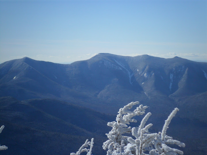
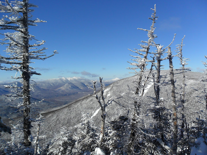
View from South Hancock. Franconia Ridge with North Hancock in the foreground
We ran into a Father-Son team coming up South Hancock. I felt bad about butt-slid trail. But I just couldn't stay upright. But, I didn't feel bad for too long- on the way down we ran into 2 folks bare booting carrying a couple plastic sleds. We used to call these red-beds (up in the county). We’ve used those sleds on dangerous hills before, but usually after ingesting copious amounts of alcohol. They asked if this was the way to the Hancocks. Note to self: Check local NH newspapers to see if there were any sledding deaths in that area.
Back at the parking lot by 2pm. Sucking down a brew and some Chili in Fryeburg by 3pm. Thanks guys for a great hike.
Petch
Trip stats: 9.7 miles, 3k ft of elevation, 5 hours, 45min.
Slideshow ^
Hiking Pictures:http://picasaweb.google.com/mpetcher
Ascent List:http://peakbagger.com/climber/climblistc.aspx?cid=1767
Date of Hike:: January 22, 2011
Trail Conditions: Packed snowshoe track with stream crossings snow-bridged or rock hoppable.
Special Equipment: Snowshoes.
Cast of Characters: CrazyBob, Jim and Petch.
Commentary:
Zero degrees at the hairpin turn parking lot at 8am. A group of accomplished hikers (judging by the vanity license plates) heading out just after us. I got a PM that HikerEd and some folks were doing the hike, so that must have been them. Licence plate: NE67x12. Enough said.
The trail was broken out pretty well, and we began our walk in the woods about 8:15am. It was just beautiful out. Clear and calm with snow laden trees. We made good time up to the first junction and began up the Cedar brook trail. The crossings were either snow bridged or rock hoppable. Then we made it to the next intersection and came across two hikers who had already summited both peaks. It was only about 9:30am at this point, so these guys must have started pretty early.
Onward up the Hancock Loop trail we traveled to the split in the trail. I've only done this trail once a couple summers ago and remember the climb and descent being pretty brutal. A relatively flat approach for miles, means time to pay the piper.
“On the trail to Hancock, aboard the Thailand Express……” Rush 2112

With colder than normal temps and fresh snow, this weekend was a good time for testing Winter gear. I'm on my 2nd season with my Cabelas Snowrunner boots. They are working very well, keeping my feet warm even during the breaks. Snowshoe wise, I know many will disagree, but for steep terrain I think the Tubb Flex Alps cannot be beat. The trail going up to North Hancock (and South for that matter) is pretty darn steep. It looks like about 1100ft in about .6miles.
It's a good test for traction. We had three different types of snowshoes amongst us: Bob had the MSR Lightning Ascents, I had the Tubbs Flex Alps, and Jim was "kickin it old school" with some older MSR Denali classics. Of the three of us, I was getting the best grip. The crampons on the Flex Alps are very similar to my G10 crampons, and they bite like nobodies business.
But regardless of traction, I was breathing like I was climbing Everest. Taking half a dozen steps, then coughing up a lung, taking some more steps....that trail is steep. I have what I'll call- exercise induced asthma. Whenever I exercise, especially in cold weather, I just can't seem to get air in the lungs. I carry an inhaler, but in real cold weather it doesn't seem to help much.
We ran into one other gentlemen coming down from North Hancock, just before we hit the top. Then we headed over to the Outlook to see what we could see.
This is a story about a man……..and his bird

Osceolalas and Scar ridgicous

Then we began our 1.5 psuedo ridge walk over towards South Hancock. The snow up in this area was deeper and a little more unstable. Real pretty walk with the snow, trees, sun.....
Beautiful conditions up along the ridge


We hit South Hancock at high noon. We didn't linger long as the wind was coming through the trees putting the chil right to us. Then, the steep descent. As much as I tried to stay upright, I kept falling and butt sliding. Nothing like snow rammed into the back of your shirt on a freezing cold day. Oh, what a feeling! I must have slid for 1/2 of the descent, hooking trees with my arms in an attempt to slow myself down. I think Bob and Jim were more successful at some downhill skate-skiing.
View from South Hancock. Franconia Ridge with North Hancock in the foreground

We ran into a Father-Son team coming up South Hancock. I felt bad about butt-slid trail. But I just couldn't stay upright. But, I didn't feel bad for too long- on the way down we ran into 2 folks bare booting carrying a couple plastic sleds. We used to call these red-beds (up in the county). We’ve used those sleds on dangerous hills before, but usually after ingesting copious amounts of alcohol. They asked if this was the way to the Hancocks. Note to self: Check local NH newspapers to see if there were any sledding deaths in that area.
Back at the parking lot by 2pm. Sucking down a brew and some Chili in Fryeburg by 3pm. Thanks guys for a great hike.
Petch
Trip stats: 9.7 miles, 3k ft of elevation, 5 hours, 45min.

Slideshow ^
Hiking Pictures:http://picasaweb.google.com/mpetcher
Ascent List:http://peakbagger.com/climber/climblistc.aspx?cid=1767
