Isolation from the Dry River Wilderness 10/23/10

vftt.org

Help Support vftt.org:

This site may earn a commission from merchant affiliate links, including eBay, Amazon, and others.

Kevin Judy and Emma

Well-known member
Joined
Jul 8, 2007
Messages
1,641
Reaction score
430
Location
Kingston, NH.
isolation-10-23-10-16a.jpg

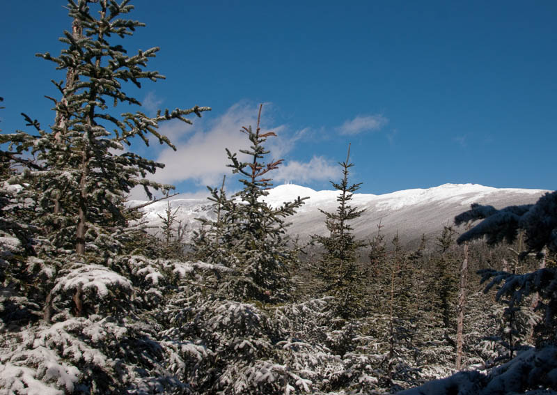
Mount Washington from the Isolation Trail (West)

Mount Isolation 4003'

Dry River Trail/Isolation Trail (West)/Davis Path/Isolation Spur

17 Miles 2450' Elevation gain

Sabrina, Terra, Kevin, Judy and Emma


After some discussion we agreed to this variation of the hike to Isolation. The original plan had been to go up Ammo and across Bigelow Lawn to Boott Spur taking Davis Path down to Isolation with an Iso/Dry River retreat. Mother Nature once again intervened with less than ideal hiking conditions above treeline. Winds hummed above our heads all day but had little effect on us below along the sheltered trails up through the Dry River Valley. Winds subsided enough to spend about fifteen minutes on the summit in the sun which we could see above the canopy of trees for most of the day, but never enjoyed its warmth until we were on the summit.
isolation-10-23-10-19a.jpg

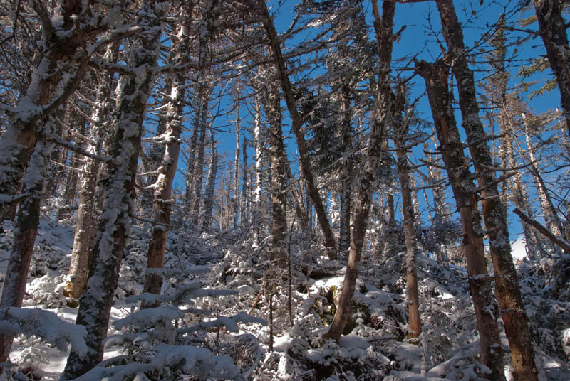
Beautiful Forest

As we hiked along and gradually gained elevation we naturally experienced more and more winter like conditions. The trail was wet from freezes and thaws and there were muddy puddles with thin coatings of ice that wouldn't support much weight so that each attempt would result in an icy plunge into cold, wet nastiness. Several brook crossings were complicated by icy stones needed for rock-hopping across and I took a nice spill in the brook on one such crossing. The western section of the Isolation Trail was rough and wild, occasionally difficult to follow through dozens of blowdowns and not blazed in a wilderness area. The trail basically follows Isolation Brook which helped in navigation.
isolation-10-23-10-26a.jpg

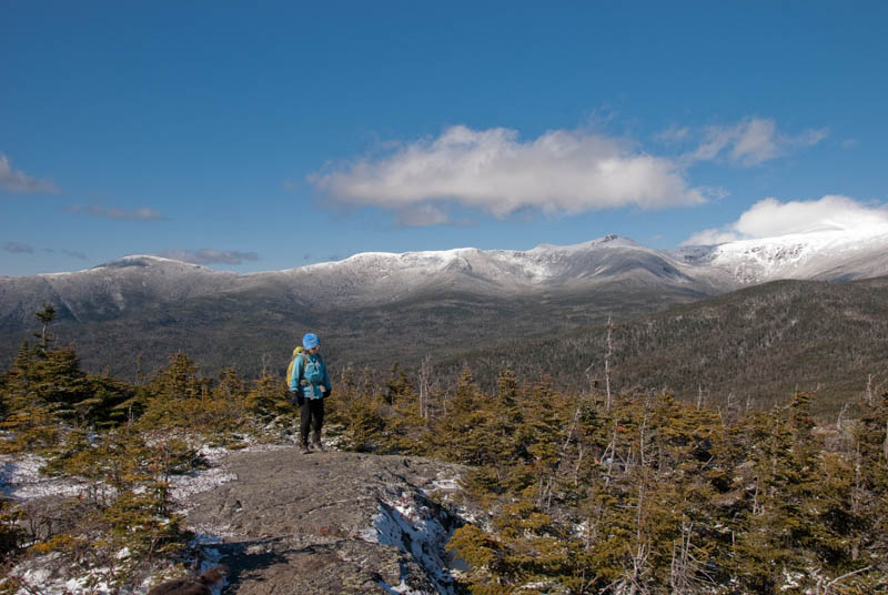
Isolation

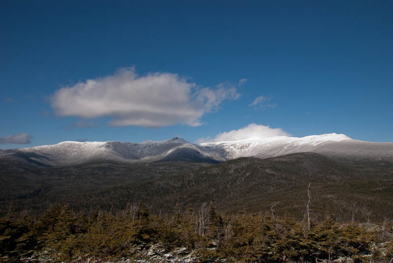
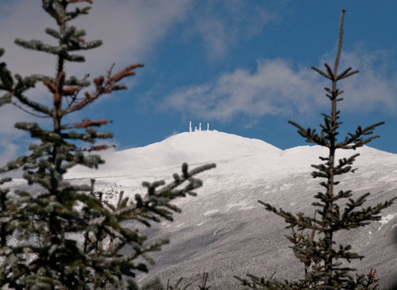
As we hiked along we began to get glimpses of the Southern Presidentials to our north and west. From southern most peaks of Webster and Jackson all the way to Boott Spur the mountains were reflecting brilliant white. At this higher elevation the woods were dusted in a thick, beautiful sugar-coating. From the summit the views towards Mount Washington were just breath-taking. On occasion the summit towers were visible, but most of the time it was wrapped in a shroud of fog and blowing snow. The sun was warm while we took in the views, but the wind was relentless and eventually drove us back down into the trees, although it had subsided by the time the hike was over.
isolation-10-23-10-30a.jpg

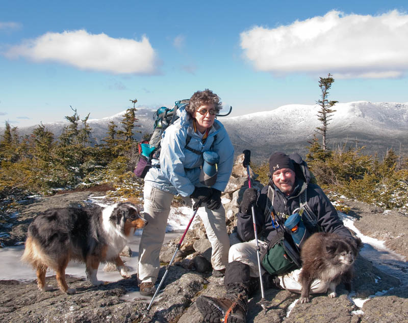
Judy Has Steak in Her Pocket

Jude, Emma and I had been this route before, but it was red-lining for Sabrina and Terra who enjoyed it very much and helped some members of the party through it who maybe weren't enjoying it as much. This, our 5th trip to Isolation completed our 4-season trips. A good bushwhacker could leave the Isolation Trail in a southeast direction and gain the summit and return to the trail by the same route thereby cutting several unnecessary miles off this hike. Oh well, we're not bushwhackers and we chose to stay on trail, although much of the western half of the Isolation Trail closely resembles a bushwhack through all the blowdowns and overgrowth along the way.
isolation-10-23-10-32a.jpg

Beautiful Day!

Of course the return trip seemed like it would never end and when we finally reached the suspension bridge it was time to break out the headlamps. From the bridge to our cars seemed to fly by on trails that were no longer icy and much smoother in general. As we got out of wet boots and socks the full moon rose behind the ridge we had left hours before. We parted ways in Crawford Notch after a long, cold, wet, difficult, fantastic day on the trail!
isolation-10-23-10-17a.jpg

Last Look (Zoom)

Complete set of pics HERE:

KDT
 
Of course the return trip seemed like it would never end . . .
Wow Kevin! What an awesome trek you guys did to Mt "Icy-lation"! And your photos . . . simply stunning!

I know exactly what you mean about the return leg of the trip seeming to be endless. I've often said that it's almost as though there's some joker back at the trailhead pulling on the trail to stretch it out like a rubber band and making the trail longer.:eek:
 
After some discussion we agreed to this variation of the hike to Isolation. The original plan had been to go up Ammo and across Bigelow Lawn to Boott Spur taking Davis Path down to Isolation with an Iso/Dry River retreat.
I've done the Ammo to Isolation (plus Monroe) and back bit--a nice route. Try again in better conditions...

Also tried the Dry River route as a 3-dayer in winter, but we were stopped by deep snow on the Isolation trail. Looks like another nice route...

Doug
 
Last edited:
From Sandwich Dome, I could see the amazing snow and rime covered presidential range down to Isolation, and I yearned for it. Except I didn't have enough cold weather gear...

As usual, its great to see your trip report and pics. It was such a bluebird day. :)
 
I had an awesome time ! And yes, The Dry River Trail is my new favorite trail du jour! :)

I'm so impressed with Emma and hope I have her endurance and zest for life when I am her age.

Thanks for letting me <us> tag along!
 
Last edited:
I'm so impressed with Emma and hope I have her endurance and zest for life when I am her age.

I don't know how to break this to you gently, but I don't think that even you have much chance to do that. There's just something in those Pomeranian genes. My sister in law has a sixteen year old 'Pom' that is just starting to slow down. They are truly amazing dogs.
 
That looks like a great route! I've taken the Dry River Trail as part of a big loop over Eisenhower and Pierce but have never gone as far as you did. That's going to go on my "next year" list for sure.

Thanks for sharing the adventure.
 
Thanks!

@John-Someone definitely stretched this trail on the return!

@Doug-We most certainly will try that route over Monroe/Boott Spur someday!

@Ed- Judy will be glad to hear about your sister's pom!

@Phil- It sure was a bluebird day!

@Sabrina- You will!

@Bill- We're interested now in gaining the higher peaks from that side as you and sheep did. There's still a lot of unexplored territory for us in the Presidential Range and surrounding wilderness. Looking forward to every step!

KDT
 
@kevin- have you explored the Carter Range from the Wild River side? That is such a treat. I'm sad that I likely won't get over there this year before snow makes that route inaccessible.
 
That looks like a great route! I've taken the Dry River Trail as part of a big loop over Eisenhower and Pierce but have never gone as far as you did. That's going to go on my "next year" list for sure.

Thanks for sharing the adventure.

Bill --how was the Mt Eisenhower Tr and when did you take it?? I have plans to complete redlining that side of the Dry River Wilderness and wondered how that trail was ?
 
Bill --how was the Mt Eisenhower Tr and when did you take it?? I have plans to complete redlining that side of the Dry River Wilderness and wondered how that trail was ?

i can vouch for the mt. eisenhower trail being a nice route up to the ridge. generally moderate grades with a mix of smooth and rough footing. it can be a bit muddy and wet in sections. the crossing of the dry river should be respected in times of moderate to high water. the whole trail is almost brushed out, but the upper section is still thick in spots. it's a nice quiet trail until the upper section where you start hearing everybody up on the ridge. the route is easy to follow 3 season, but would be very difficult in the winter. it's mostly viewless, but some interesting views to the ridge open up in a few sections with nice looks back into the dry river just below treeline.

bryan
 
Thank you both!
Bryan, I will be sure to report back on Trail Conditions.

Any feedback on The Dry River Cut Off? I have heard it can be tough to follow but only know of one person who has hiked it, and that was late spring.
Hoping to hit all but Mt Clinton Tr.
 
i believe dry river cut off has an adopter and is being maintained (i think he is on this board...). most recent report i heard was that mt. clinton trail was decent above junction with the cut off, but below that was a mess (probably a bit like isolation west).
http://www.newenglandtrailconditions.com/nh/viewreport.php?entryid=2669
his link to his own site at the bottom has more info. and pictures.

bryan
 
I don't remember a lot of detail about the Mt. Clinton Trail but I'm pretty sure it was clear sailing (except for some mud) all the way when I did it a year ago. I remember it being especially nice to descend that way after along rest at the hut.
 
Top