Kevin Judy and Emma
Well-known member

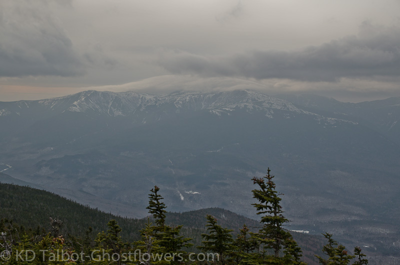
Presidential Range from Mount Lethe
Mount Lethe 4584'/Middle Carter 4610'/North Carter 4530'
Imp Trail/North Carter Trail/Carter Moriah Trail
10.6 Miles 3500' Elevation gain
Kevin, Judy and Emma
We're still pecking away at an Autumn completion of the 48 with 5 to go. We thought we'd knock off two today by getting Middle and South Carter, but opted to skip on South Carter as trail conditions and impending darkness played a role in our decision to not go for it, oh well, (shoulder shrug). We started out on the southern branch of the Imp Trail. Microspikes worked well in the wet snow, but temperatures warmed throughout the day and we hiked through about every condition imaginable. Mud, slush, wet leaves, puddles, trickling water, wet rocks and roots, the trail was pretty much a mess.

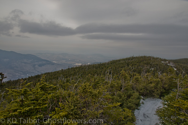
Along the Carter/Moriah Trail
At 3250' we came to the junction with the North Carter Trail where the snow was a bit more firm but still wet, and as we climbed became increasingly deeper until it got to a depth of about ten inches. Although we had been to North Carter before this was our first time hiking the North Carter Trail, so, a little redlining as well on this hike. At the junction we turned right and headed south towards Middle Carter. The trail crosses Mount Lethe along the way, someplace we had also been, so now I guess we could say we've made separate hikes to North Carter and to Mount Lethe and we can cross them off the Trailwright's list.

View East to the Baldfaces from North Carter
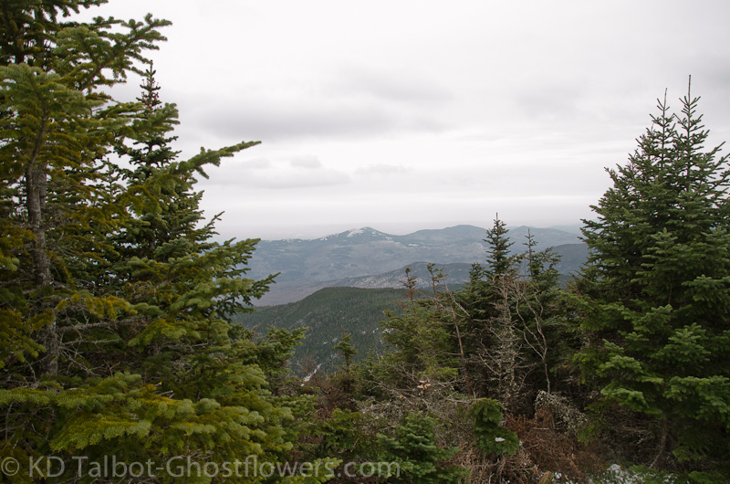
Middle Carter is discernible now only by a two rock cairn which will probably be kicked over soon. We talked to some folks for a bit, but decided to turn back as soggy boots and waning daylight were becoming issues. We stopped at a rock outcrop on the return to the junction and ate a quick lunch. As usual Emma ate like a dog twice her size. Back at the junction we decided on a return trip to North Carter, a mountain I think deserves more respect, especially if approaching from the north. There are some good partial views along the trail and a decent view to the east from the summit.

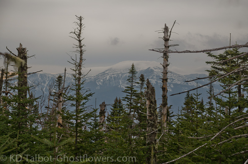
Filtered View of Washington from the North Carter Trail
Conditions along North Carter Trail had deteriorated as we hiked around on the ridge. The unusually warm temperature this day had melted a lot of snow and puddles, trickle and mud were the theme for the descent. Things only got worse as we got down to the Imp Trail. What had been somewhat problematic on the ascent was now a complete mess for the descent. For safety's sake it was rather slow going as each step required care so as not to end in a fall as we clamored down over wet rocks and roots, wet leaves and slush. Often we had to skirt large sections of trail to avoid boot-sucking mud and deep puddles. When it freezes it will be a mess. What it needs is a good foot of snow to fill it in and then to get packed down with snowshoes! Come on winter!
Full set of pics HERE:
KDT
