grouseking
Well-known member
My hiking hotstreak continued last Thursday with a trip up Mt Cube from Rt 25A in the Wentworth/Piermont/Orford area. Completing that section of the AT to the summit means that I have hiked the AT from Hartland VT, to Rt 25A, and of course other sections. Hmm, maybe I really will hike the whole thing someday...just probably not all at once.
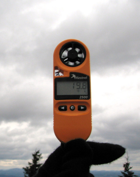
Weather for the day: Cloudy, dank, raw, breezy up top, temps in the low 30's at the summit, wind chills as low as 15. I needed a layer or two for sure! Minus the one grouse I saw just below the summit cone, the woods were extremely quiet on this day...almost too quiet. I guess the forest is ready for winter.
I used to think that Mt Cube was named because it kind of looks like a Cube from far away, but I read a story saying that a hunting dog named Cuba was killed by a bear back eithe rin the late 1700s or 1800s...so it was originally known as Mt Cuba. Interesting.
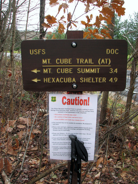
The route for the day, Mt Cube trail from Rt 25A, side trail to the north summit, then to the south summit, down the Cross Rivendell Trail, to Baker Farm Rd where a warm car awaited.
Off we go
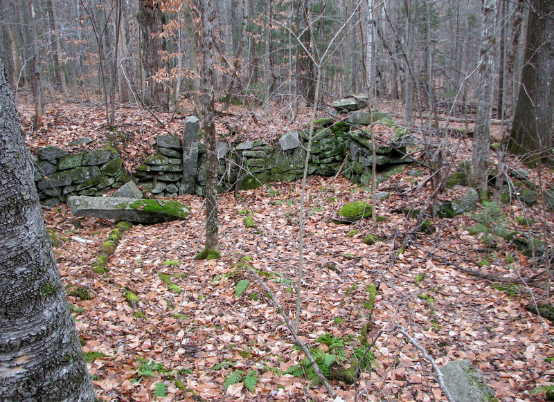
Not too far in, there was a cellar hole to the right, alongside some stone walls.
The stream crossing that could be difficult in high water, but wasn't bad on this day. Honestly, after hiking Owls Head, all other crossings seem trivial.
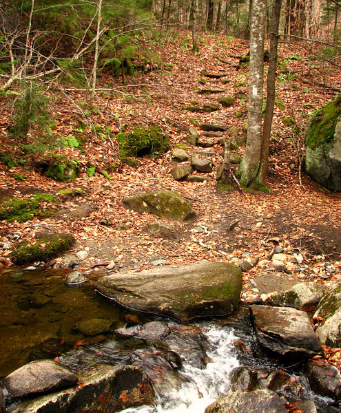
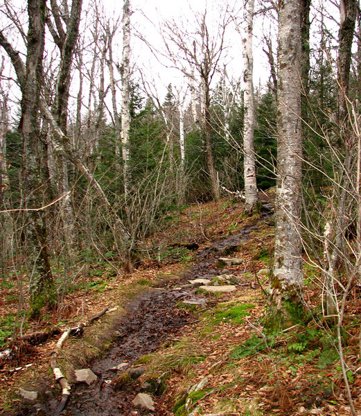
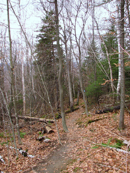
Lots of the trail was extremely muddy...I think the snow, rain, warm and cold weather have really mucked up the trails this fall. So those sections slowed me down quite a bit. After hiking up a somewhat steep pitch, I entered a prominent stick section, with a view of Mt Cube...gettin there.
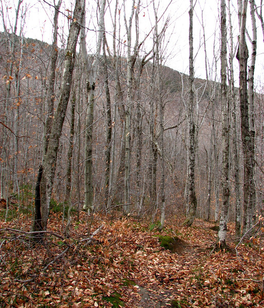
The rest of the hike till near the summit, I went into auto pilot...it wasn't overly hard...just the normal steep stuff, up along some switchbacks. Then I entered a dark spruce/fir forest close to the summit. I was expecting some leftover snow, but alas, no.
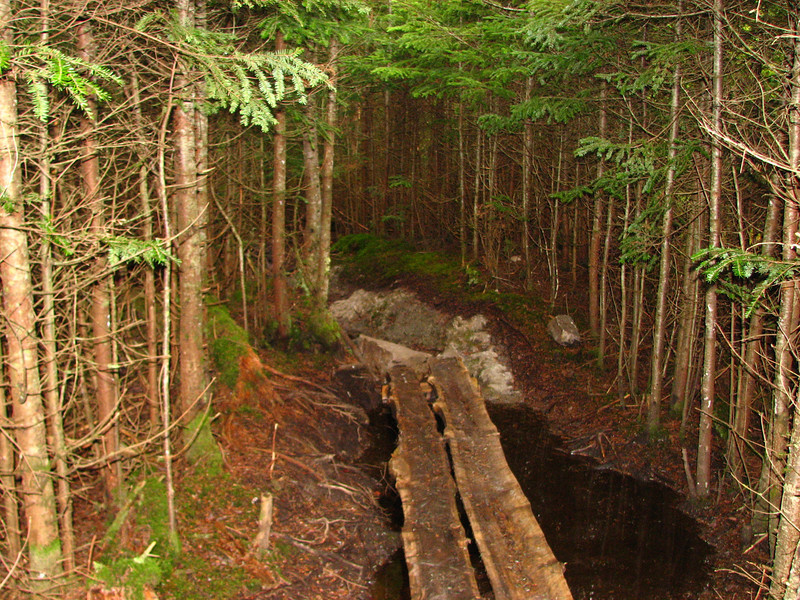
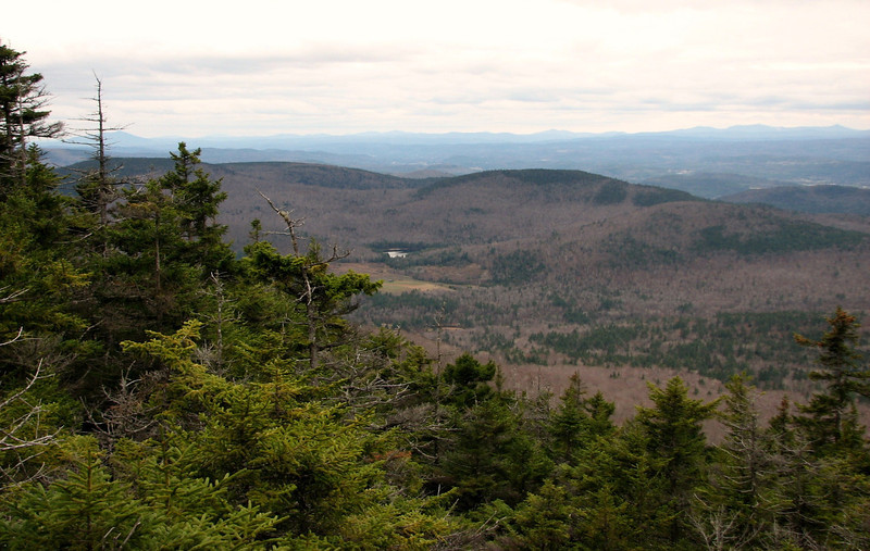
Now, off to my lunch break, along the north peak. This was reached by a 0.3 mile spur trail, which was fairly easy to follow, but the trees are encroaching on the pathway big time. Before long, I made it. There were lots of nice views there. Too bad it was cloudy and dark.
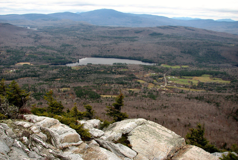
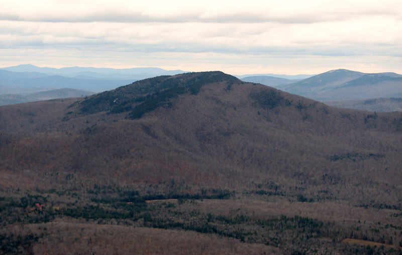
Piermont Mtn, which has at least one hiking trail to the summit, from a summer camp. There might be another one from another camp, but I cannot be sure. It offers great views.
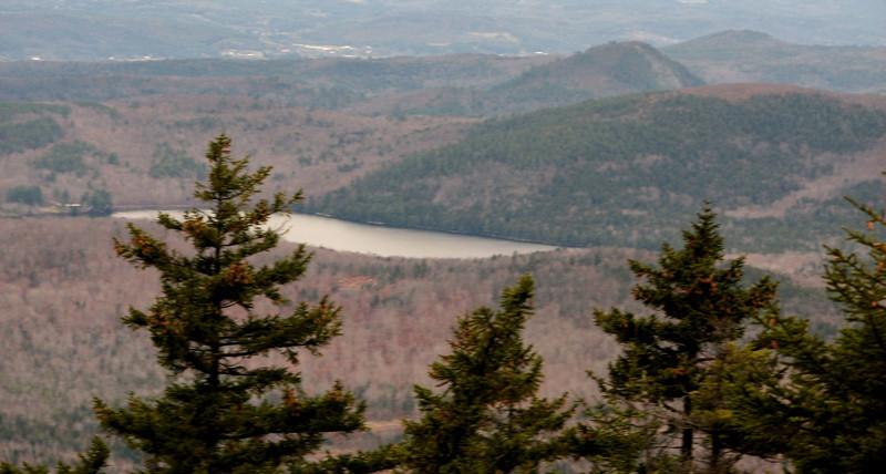
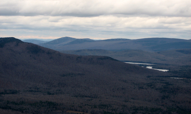
Lakes Armington and Tarelton, Piermont on the left, the Hogsback and Black Mtn behind, among others.
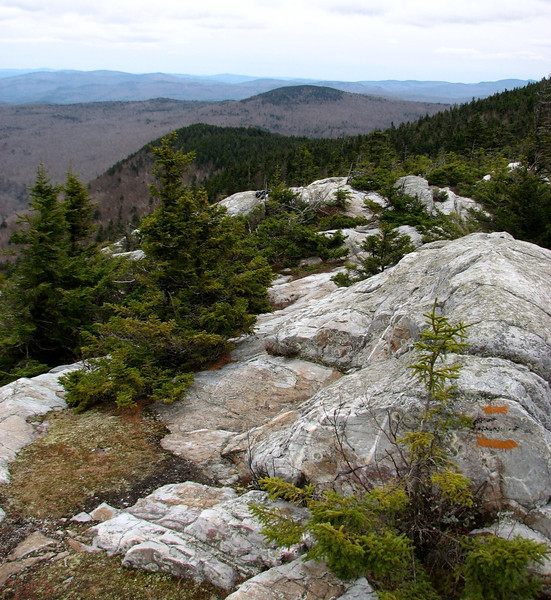
A look down the Baker River Valley, you can see Squam Lake in the distance
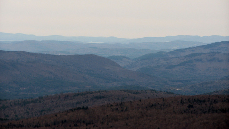
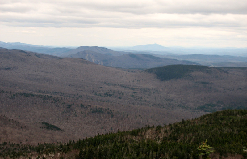
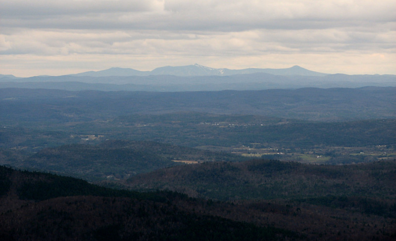
Now I'm at the south summit, with different views...like West to Killington
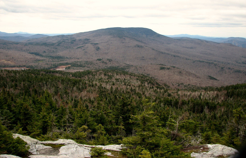
And a close up view of Smarts Mtn, skies getting darker.
cont in a min
Weather for the day: Cloudy, dank, raw, breezy up top, temps in the low 30's at the summit, wind chills as low as 15. I needed a layer or two for sure! Minus the one grouse I saw just below the summit cone, the woods were extremely quiet on this day...almost too quiet. I guess the forest is ready for winter.
I used to think that Mt Cube was named because it kind of looks like a Cube from far away, but I read a story saying that a hunting dog named Cuba was killed by a bear back eithe rin the late 1700s or 1800s...so it was originally known as Mt Cuba. Interesting.
The route for the day, Mt Cube trail from Rt 25A, side trail to the north summit, then to the south summit, down the Cross Rivendell Trail, to Baker Farm Rd where a warm car awaited.
Off we go

Not too far in, there was a cellar hole to the right, alongside some stone walls.

The stream crossing that could be difficult in high water, but wasn't bad on this day. Honestly, after hiking Owls Head, all other crossings seem trivial.

Lots of the trail was extremely muddy...I think the snow, rain, warm and cold weather have really mucked up the trails this fall. So those sections slowed me down quite a bit. After hiking up a somewhat steep pitch, I entered a prominent stick section, with a view of Mt Cube...gettin there.

The rest of the hike till near the summit, I went into auto pilot...it wasn't overly hard...just the normal steep stuff, up along some switchbacks. Then I entered a dark spruce/fir forest close to the summit. I was expecting some leftover snow, but alas, no.

Now, off to my lunch break, along the north peak. This was reached by a 0.3 mile spur trail, which was fairly easy to follow, but the trees are encroaching on the pathway big time. Before long, I made it. There were lots of nice views there. Too bad it was cloudy and dark.

Piermont Mtn, which has at least one hiking trail to the summit, from a summer camp. There might be another one from another camp, but I cannot be sure. It offers great views.

Lakes Armington and Tarelton, Piermont on the left, the Hogsback and Black Mtn behind, among others.


A look down the Baker River Valley, you can see Squam Lake in the distance

Now I'm at the south summit, with different views...like West to Killington

And a close up view of Smarts Mtn, skies getting darker.

cont in a min

