1HappyHiker
Well-known member
In the past I've been to both Mt. Flume and to Mt. Liberty on several occasions in both summer and winter. However, up until yesterday, I had never done a loop of these two mountains by incorporating the Flume Slide Trail. As indicated in the title of this report, I'm certain that this loop (Flume Slide; Franconia Ridge; Liberty Springs) is "old hat" to many, but it was new to me.
It's extremely unfair to "convict" a trail based on purely hearsay evidence, but that's exactly what I've done over the past years. I've avoided using the Flume Slide Trail because of unfavorable comments that I've heard about it. But, like so many situations in life, sometimes you just have to check things out for yourself and form your own impressions.
So, now that I've hiked the Flume Slide Trail, here are my thoughts. At the risk of sounding smug, I feel that an inexperienced hiker should not attempt this trail. However, I must honestly say that I didn't find it to be all that difficult. And I don't say that just to be macho. I'm not that kind of guy.
Admittedly, on the day I hiked this trail, conditions were dry. If conditions were wet and/or icy, then I can definitely see where it would be a challenge (perhaps dangerously so) to climb the portion of the trail that leads from the base of the slide up to the ridgeline where it intersects the Franconia Ridge Trail.
I found this to be a very fast loop. At a leisurely pace, it took just under 5 hours. I think this is due in large part to the fact that it is darn near flat for about the first 2.6 miles of the Flume Slide Trail, and therefore you can make very good time there. The climb up the slide to the ridgeline is obviously not flat, and so it's slower going, but it's a relatively short distance. After that, the rest of the loop is quick and easy to complete. Other than the short and mild-mannered ascent of Liberty, it's all downhill the rest of the way.
And so, for what it's worth, that's my report regarding my experience and impressions about the Flume Slide Trail.
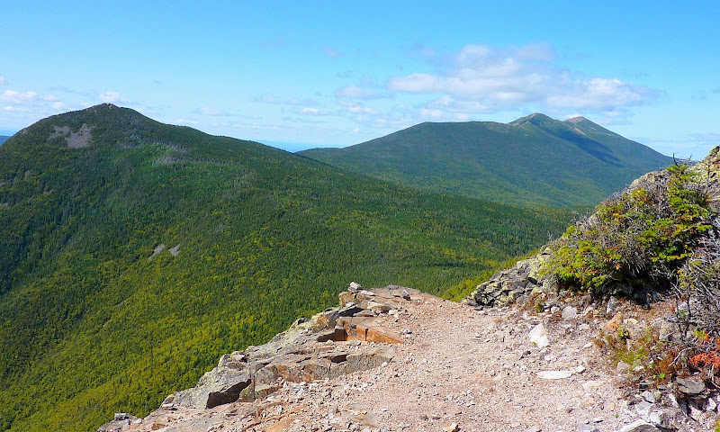
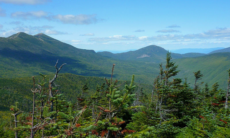
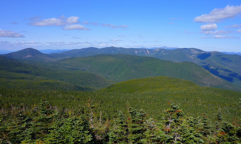
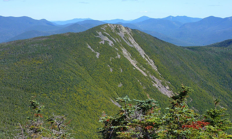
Also, for what it's worth, below are a few snapshots that were taken during the course of this loop. The weather conditions were ideal for my "point & shoot" camera. It would've been difficult not to get a decent photo. All one needed to do was simply "point & shoot"!
Franconia Ridge, of course!

Looking up the Lincoln Brook Valley toward Mt. Garfield

Zoomed snapshot looking toward Guyot & Bonds

Un-zoomed snapshot of one huge chunk of the Pemi

Looking back at Mt. Flume from Mt. Liberty

1HappyHiker
It's extremely unfair to "convict" a trail based on purely hearsay evidence, but that's exactly what I've done over the past years. I've avoided using the Flume Slide Trail because of unfavorable comments that I've heard about it. But, like so many situations in life, sometimes you just have to check things out for yourself and form your own impressions.
So, now that I've hiked the Flume Slide Trail, here are my thoughts. At the risk of sounding smug, I feel that an inexperienced hiker should not attempt this trail. However, I must honestly say that I didn't find it to be all that difficult. And I don't say that just to be macho. I'm not that kind of guy.
Admittedly, on the day I hiked this trail, conditions were dry. If conditions were wet and/or icy, then I can definitely see where it would be a challenge (perhaps dangerously so) to climb the portion of the trail that leads from the base of the slide up to the ridgeline where it intersects the Franconia Ridge Trail.
I found this to be a very fast loop. At a leisurely pace, it took just under 5 hours. I think this is due in large part to the fact that it is darn near flat for about the first 2.6 miles of the Flume Slide Trail, and therefore you can make very good time there. The climb up the slide to the ridgeline is obviously not flat, and so it's slower going, but it's a relatively short distance. After that, the rest of the loop is quick and easy to complete. Other than the short and mild-mannered ascent of Liberty, it's all downhill the rest of the way.
And so, for what it's worth, that's my report regarding my experience and impressions about the Flume Slide Trail.
Also, for what it's worth, below are a few snapshots that were taken during the course of this loop. The weather conditions were ideal for my "point & shoot" camera. It would've been difficult not to get a decent photo. All one needed to do was simply "point & shoot"!
Franconia Ridge, of course!

Looking up the Lincoln Brook Valley toward Mt. Garfield

Zoomed snapshot looking toward Guyot & Bonds

Un-zoomed snapshot of one huge chunk of the Pemi

Looking back at Mt. Flume from Mt. Liberty

1HappyHiker
Last edited:
