Kevin Judy and Emma
Well-known member
Kingston State Park
Pawtuckaway 3/31/09
Middle Mountain 985' and South Mountain 1011'
1050' Elevation gain 3.5 Miles
Kevin and Rocket
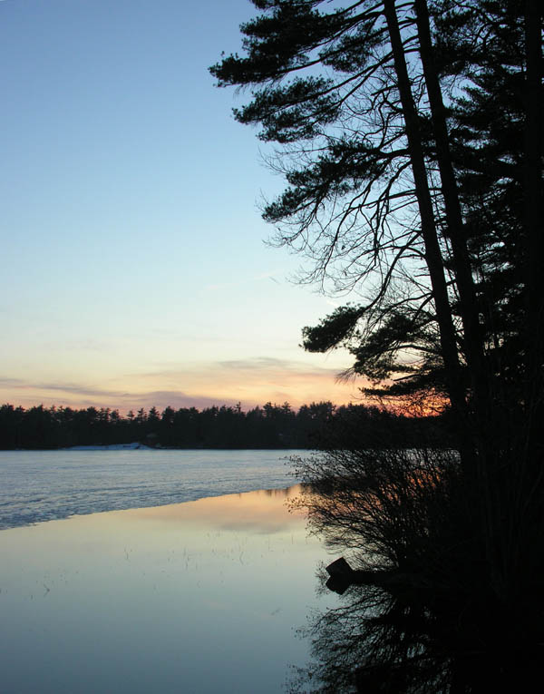
I've taken a few short hikes over the week. Jude, Emma and I went to Kingston State Park where the signs of spring were obvious. The Pileated Woodpeckers have returned and are setting up house, and the ice is receding rapidly from Great Pond (Kingston Lake). On Saturday the 28th we took Jim Salge up to Alton to look for the new conservation land on Pine Mountain. We didn't find the entrance until we were leaving. The day was terrible weatherwise, gray and wet with a very low ceiling. So low that 1300' Avery Hill was in the clouds. We did a short hike looking for Pine Mountain but wound up on Rockaway and decided we weren't close to Pine.
We then drove over to the nearby scout camp where hiking is encouraged during off season. We hiked from Lake Eileen up to Shannon Mountain. Lousy weather for viewing but we could see the surrounding ponds and over to Avery Hill which kept it's head in the clouds. Would be a real nice spot for either a sunrise or a sunset.
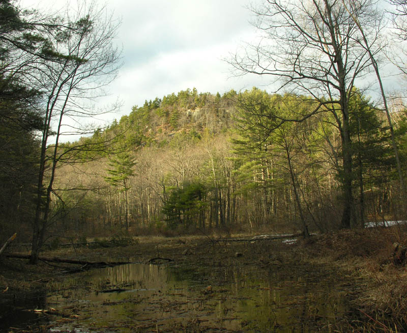
Middle Pawtuckaway Mountain
Tuesday afternoon I met Jeremy to hike in Pawtuckaway. He had never been and despite that I was amazed that he could pick out and name the hills we could spot on the horizon. I have to say in all my years of going there we had some of the best viewing to the horizon I have ever seen. Usually it is very hazy near the horizon and often I am there in the heat of the day. This evening it was easy to spot and pick out the hills to the southwest, west and northwest, which I never really did before. I had guessed at some, and this evening most of my guesses were confirmed.
Going in by Reservation Road we parked at the gate where the road takes a sharp right. We briefly stopped and considered going to North Mountain. I think it is the best hike there, but there is no westerly view and we decided to stick with the original plan and hit Middle and South Mountains. We started up the road and about 5 minutes into the hike I cut off the road and began the easy bushwhack up to the south ledges of Middle Mountain. We wrapped around to the furthest south approach which I had never done before and found that there were some very interesting rock formations and some easy scrambles from there to reach the upper ledge where there is a view. About a hundred yards beyond is the high point which we tagged after taking in the southerly views from the ledges.
The trail across the ridge to the north end was littered with ice broken tree limbs. As we started down it became worse. The hillside was covered in storm damaged trees. This section seemed exceptionally damaged. As the trail descends and turns east the forest to the north of the trail had recently been logged. Not sure if the thinning of the forest contributed to the severity of the ice damage by exposing the trees to more weather and less protection from the storm. It seemed as though this was the worst hit area that we saw and I couldn't help but think that the recent logging had played a part.
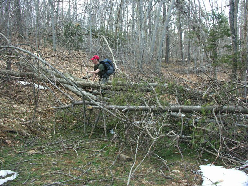
December's Ice Storm
We were soon at the base of South Mountain and the summer parking area. The trail has been rerouted to avoid the straight up ascent that I had first climbed many years ago. It now avoids the heavily eroded steep climb by winding around to the northeast before heading south again. It's a short trip to the summit on this trail and I remembered bringing my boys this way many times when they were young.
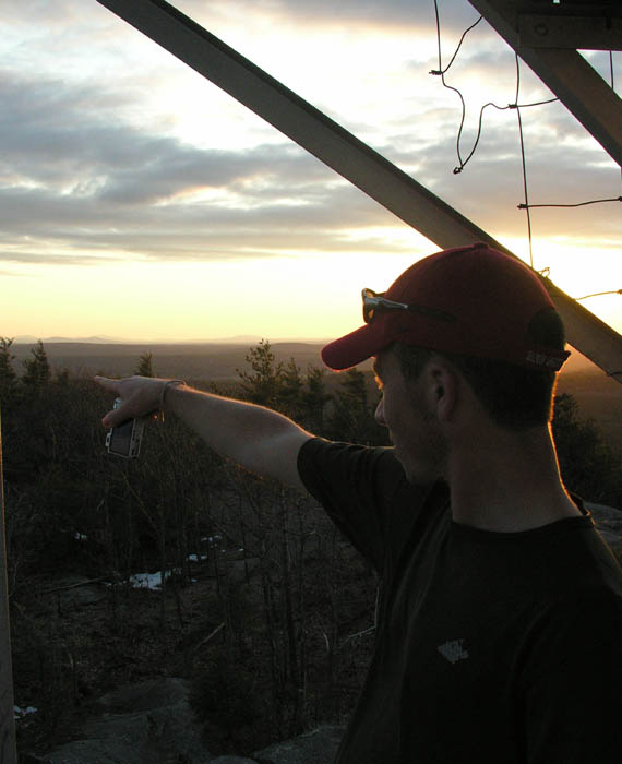
At the summit we picked out the various mountains and hills we could make out. We checked out the firetower and waited for the sun to set. It was a decent sunset, not a great one, not a poor one. Maybe just right for this day. After sunset, as you know, it gets dark in the woods quickly. I managed to walk us off trail and we descended a gully southeast of the trail. We probably wandered off trail due to a blowdown, then I realized we weren't seeing any blazes. No matter. I knew if we kept descending we'd come to a trail. I just hoped I didn't lead us off a cliff. Just as it was beginning to get dark enough to worry we came to the trail I was looking for. A quick check of the compass to confirm west and off we went. The trail here was pretty muddy and the further we went the more I realized how far off trail I had taken us, just following that gully. We soon came to the junction I was looking for and we were back at the cars about ten minutes later.
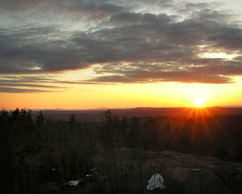
Sunset from South Pawtuckaway Mountain.
Pics here:
http://ghostflowers.smugmug.com/gallery/7782873_SE3Zu#503657540_iYq3C
We finished it off with a Stout and some supper at the Holy Grail in Epping. You must try it: (Tom, good Views and Brews Trip.)
http://www.theholygrailpub.com/
KDT
Last edited:


