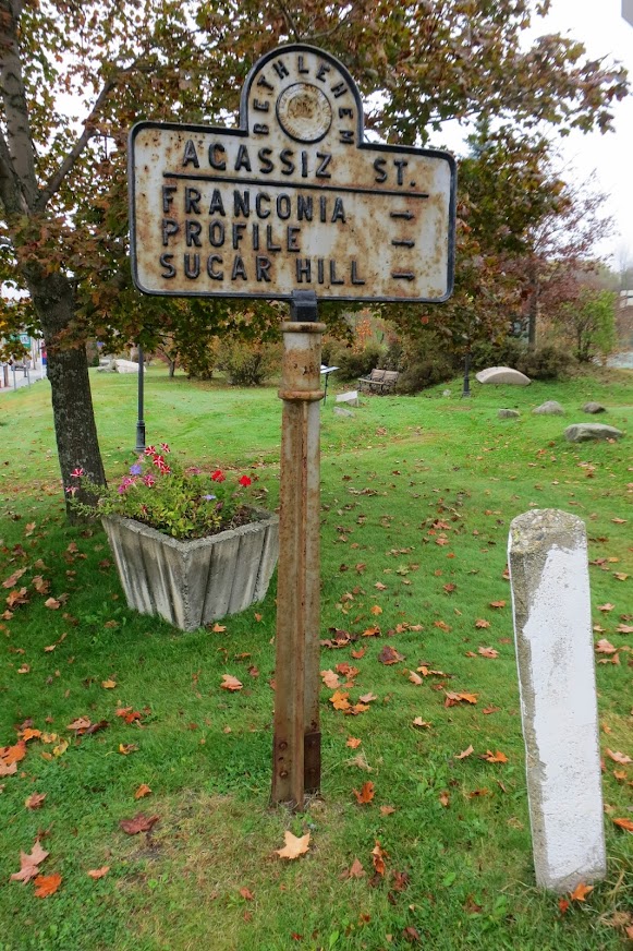
The Profile is a synonym for the Old Man, and it was the defining feature of the Notch, lending its name to any tourist business in the general vicinity, such as the Profile Golf Club. Cannon itself was Profile Mountain. Here's a 1929 map:
http://docs.unh.edu/NH/frcn29sw.jpg
Another section of the same map:
http://docs.unh.edu/NH/frcn29nw.jpg
Today, Profile Rd goes from Franconia toward the north end of the Notch, but then it turns northerly and stays on the wrong side of Eagle Ridge to have any view of the Old Man. However, the roads in the Notch were heavily reconfigured when Interstate 93 was expanded (and/or earlier). On the 1929 map, Profile Rd is not named, but it is clearly visible. It was and is Route 18, starting in the center of Franconia. In 1929 it continued along the south shore of Echo Lake, and merged with Route 3 near the north end of Profile Lake.
Similar map from 1932:
http://docs.unh.edu/NH/frcn32nw.jpg
An 1860 map does not give a name to Profile Rd, but makes clear that it's part of the original route through the Notch:
http://www.old-maps.com/nh/nh_towns/grafton_1860/Franconia_1860.jpg That makes "Profile Rd" an obvious name for it, from the perspective of a Franconian.
PS I just noticed that the 1860 map shows a couple of trails. If Old Bridle Path really was carved into the side of Coffin Ravine as this map shows, then I owe an apology to some 19th-century ladies who wrote what I thought were histrionically exaggerated letters about the steep terrain they encountered on their mule tours.