I wasn’t sure how serious the book idea was until I was informed by a fan of yours.

To answer your questions regarding my post and share some more details I offer:
Durgin Road (shown in previous post) [view of Tate (Ball), Black Snout peak, Shaw, Flagg] is in Tuftonboro (there is also a good spot on Tuftonboro Road in Ossipee – the two roads are a continuation of each other)
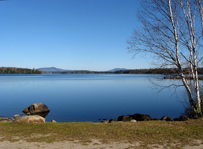
From Tuftonboro Road (shown below) [view of Black Snout peak, Shaw, Flagg, Canaan, Sentinel on horizon with Eldrigde Hill on right and Oak Hill on left near]

The view from 113 of the Ossipees (shown in previous post) [view of Little Larcom, Larcom, Black Snout Mtn] is across from Jackson Pond in Tamworth just a little north from Rt 25 at Bennett Corners.
Rt. 28 lookout is about midway between Alton and Wolfeboro [Rattlesnake Island on the left / Ossipee Range on the right]

This is a view of the Percy Peaks from Rt. 110 but another good view, maybe better, is to be had on the Emerson Road heading toward Nash Stream Road.

Magalloway across 1st Conn. Lake

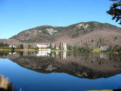
Rt. 93 from the Flume parking area (I suggest here as you don’t have to pull over on the side of the highway)


Ridge Road (partial views shown in previous post) is in New Durham [view of Belknap Range, Chocorua, Presidentials plus peaks near and in between]
Another nice view is from the start of Iron Mt. trailhead before you ever hike (on a better day you will see more the the clouds lifting over the Wildcats)

I will also add that from Saunders Bay (Rt 11B in Gilford) you can see the Sandwich Rand and Washington along with the previously mentioned Ossipee Range)


