Jimmy Legs and Little D
New member
After the Cave Mountain hike and a short stop at Bart’s Deli for some hot clam chowder and weak coffee, we were ready to tackle Table Mountain at 12:15 pm.
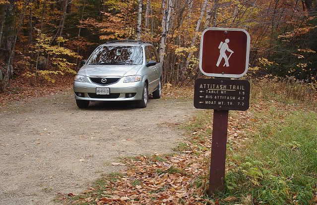
The trailhead is located at a small parking lot 2.7 miles from Route 302 on Bear Notch Road.
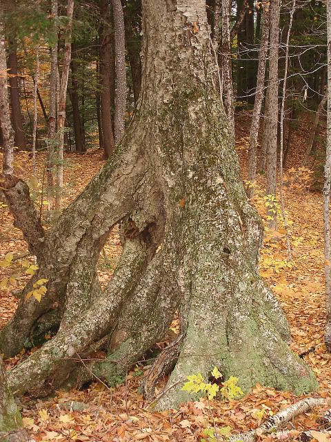
Across Bear Notch road I noticed this unusual tree.
The majority of the trail meanders through mixed forest of deciduous and evergreen trees, with the trail eventually reaching some open ledges at approximately 1.5 miles.
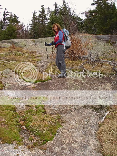
Care should be taken ascending and descending this section because of the loose gravel lining the path.
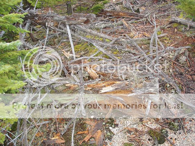
Near the ledges, remnants from the 1984 fire can still be seen.
Shortly after reaching the wooded viewless summit, it finally began to rain.
It should be noted that there has been some recent trail work done on the section just past the summit.
This was evident by the freshly cut branches lining the path.
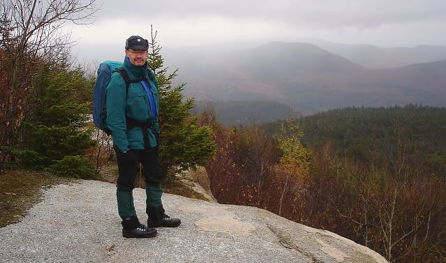
Although cloudy and raining, we were still able to appreciate the views from the rock slabs below the summit.
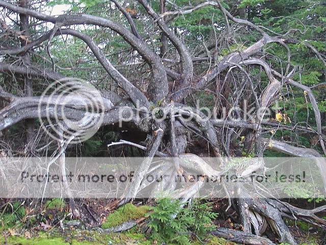
On the way down we noticed this unusual tree formation.
Looking south you could still see the neighboring mountains through the low lying clouds.

The rest of the hike was quite enjoyable despite the steady rainfall.
We arrived back at the van at approximately 2:50 pm; changed into some comfortable shoes and cloths and headed back to our room at The Lodge at Jackson Village, to clean up. Later we left for dinner at Tuckermans Tavern at the New England Inn for the Wednesday night special of Cranberry Shaker pot roast.
The trailhead is located at a small parking lot 2.7 miles from Route 302 on Bear Notch Road.

Across Bear Notch road I noticed this unusual tree.

The majority of the trail meanders through mixed forest of deciduous and evergreen trees, with the trail eventually reaching some open ledges at approximately 1.5 miles.

Care should be taken ascending and descending this section because of the loose gravel lining the path.
Near the ledges, remnants from the 1984 fire can still be seen.

Shortly after reaching the wooded viewless summit, it finally began to rain.
It should be noted that there has been some recent trail work done on the section just past the summit.
This was evident by the freshly cut branches lining the path.
Although cloudy and raining, we were still able to appreciate the views from the rock slabs below the summit.

On the way down we noticed this unusual tree formation.

Looking south you could still see the neighboring mountains through the low lying clouds.

The rest of the hike was quite enjoyable despite the steady rainfall.
We arrived back at the van at approximately 2:50 pm; changed into some comfortable shoes and cloths and headed back to our room at The Lodge at Jackson Village, to clean up. Later we left for dinner at Tuckermans Tavern at the New England Inn for the Wednesday night special of Cranberry Shaker pot roast.
