bobandgeri
Well-known member
Just posted on one of the Facebook Hiking groups and by Northcountry News NH on their FB page.
White Mountain National Forest Announces Temporary Closure of Popular Trail
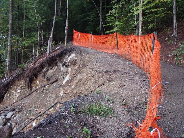
The Lincoln Woods Trail, located off the Kancamagus Highway in Lincoln, NH was severely damaged by Tropical Storm Irene in August 2011.While the Forest was able to stabilize the trail for short-term use, a section of this popular trail requires extensive restoration. Beginning in early to mid-August 2013, the section of the Lincoln Woods Trail, from the west side of the suspension bridge to the Osseo Trail junction, will be temporarily closed while repairs are underway. The exact dates of the closure will be announced later this month. The expected duration of this project will be six to eight weeks. The Eastside Trail, located on the east side of the river, will be open for day hikes and to access the Pemigewasset Wilderness; however hikers should note there is no bridged crossing of the East Branch of the Pemigewasset River via this route and plan accordingly.
Pemigewasset District Ranger Jon Morrissey explains, “High water from Irene eroded the river bank causing the edge of the trail to wash into the river. Approximately 500 feet of the Lincoln Woods Trail which follows along the East Branch of the Pemigewasset River, will be realigned away from the eroded river bank to a safer and more sustainable location.”
While the trail is closed for repairs, hikers will have to consider alternate routes which may increase distances to destinations. Please recognize this closure may affect the ability to complete other popular hiking routes such as the Pemi Loop and restrict access from the Lincoln Woods Trail to popular destinations such as Franconia Falls, Bondcliff, Thirteen Falls Tentsite, and the summit of Owl’s Head. Signs will be posted at trailheads with details about the closure while the project is underway and updated information can be found at: http://www.fs.usda.gov/whitemountain.
The Lincoln Woods trailhead parking lot and Visitor Center are located off the Kancamagus Highway, 5 miles east of I-93, Exit 32 in Lincoln NH.


![Grand Canyon, North and South Rims [Grand Canyon National Park] (National Geographic Trails Illustrated Map)](https://m.media-amazon.com/images/I/419Y-ycyVUL._SL500_.jpg)

![Grand Teton Day Hikes and National Park Map [Map Pack Bundle] (National Geographic Trails Illustrated Map)](https://m.media-amazon.com/images/I/41DB0jvRnbL._SL500_.jpg)


![Yellowstone National Park [Map Pack Bundle] (National Geographic Trails Illustrated Map)](https://m.media-amazon.com/images/I/51kGuJ72qjL._SL500_.jpg)


