PETCH
New member
Peaks/Trails: Mt Crawford, Mt Resolution, Stairs Mtn, Via Davis Path, Spur trails, and Mt Parker trail.
Trail Conditions: Davis Path to Mt Crawford Spur and up to Mt Crawford in good shape. Rock slabs wet, but not too slippery. Davis Path continuing to Stairs col was very wet with water running down the trail in spots, and some hard pack snow sections. Davis Path continuing to Mt. Stairs spur trail had lots of blow downs and hard packed snow. Mt. Stairs spur trail in good shape with some icing on the rocks and roots. Mt Parker Trail up to Resolution in good shape with the rock slabs wet and slippery in some places.
Cast of Characters: CrazyBob, Jorge, and Petch
Commentary:
With hurricane force winds forecasted for the higher summits, a Mt Washington attempt was quickly removed from our list, and we opted for some 3k’s that none of us had visited. My only encounter with the Davis Path was a small section on the way to Isolation back in March. From a few hikes over the last couple years, CrazyBob and I have gotten a good view of the unique profile of Stairs Mtn.
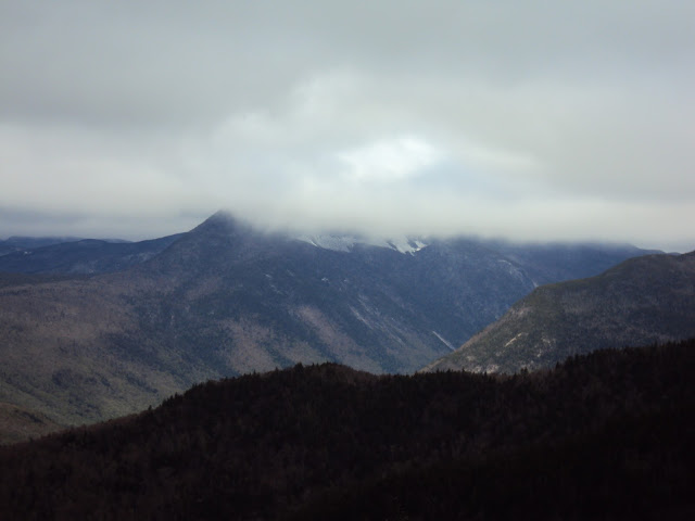
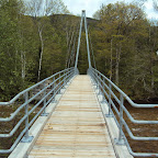
So we collectively agreed we’d head up the Davis Path and see what happens. It was spitting snow as we took off across the suspension bridge. Up the Davis Path we went with Jorge and CrazyBob leading a 2mile/hr pace. An obviously very well traveled trail with little traffic today due to the weather. In a short time, we were on top of Mt. Crawford getting pounded by the winds. Got some neat cloud shots looking up into Crawford Notch. Mt Crawford has 360’ views from its peak. But with the high winds, we weren’t going to hang around too long. My pictures came out worse than normal. I’ll blame it on the weather.
The Willey Range (use your imagination) and Crawford Notch
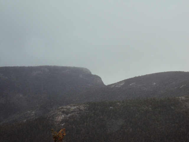
Next Target: Stairs Mtn.
Often times during a hike, a phrase or two is said that just seem to have some lasting appeal. Well, today, two phrases tended to get lofted into the conversations at random: “You know, once you’ve bought all the gear, it’s really not that expensive!”, and “I would have been loosing money, if I didn’t buy it”. The phrases first mentioned as Jorge and CrazyBob discussed an upcoming Rainier trip. Like a parrot or yap-dog, I tend to repeat the phrases ad nauseum, until a hiking pole or other projectile is thrown in my general direction. The guys were kind to me today, and no violence was initiated.
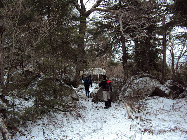
Anyway, we came down Mt. Crawford and continued along the Davis Path towards Stairs col. Parts of the trail in this area resembled a running stream. Soon came the 3 way intersection with the Mt Parker trail and the spur going to the Resolution Shelter. Then a little further came Stairs col. This was a neat area that reminded me of Zeta Pass over on the Carters.
Stairs Col, still snow in them there hills
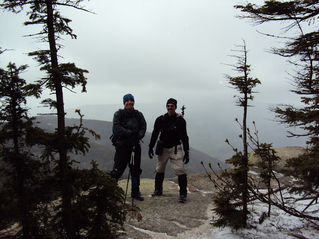
Up to Stairs Mtn we went. Great views looking South and West. We could see Kearsarge, Attitash, North Moat, Carrigain and others.
CrazyBob and Jorge on Stairs Mtn.
The hike back was fairly uneventful. We made the turn and went up to Resolution. But, I’m not sure we actually tagged the summit. Great views from the ledges. Up into the woods we went, then the trail started going down. So we called it, and made our way back towards Rt 302 the same way we came.
If you can’t get above treeline due to insane conditions, then I think this was the next best thing- to bag a few 3k’s that are at or near treeline and stay somewhat protected. A day in the mountains beats a day doing just about anything else…..
Trip stats: 10 1/4 miles, about 3450 ft of elevation gain, 6 hrs 10 min
Slideshow ^
Hiking Pictures:http://picasaweb.google.com/mpetcher
Ascent List:http://peakbagger.com/climber/climblistc.aspx?cid=1767
Petch
Trail Conditions: Davis Path to Mt Crawford Spur and up to Mt Crawford in good shape. Rock slabs wet, but not too slippery. Davis Path continuing to Stairs col was very wet with water running down the trail in spots, and some hard pack snow sections. Davis Path continuing to Mt. Stairs spur trail had lots of blow downs and hard packed snow. Mt. Stairs spur trail in good shape with some icing on the rocks and roots. Mt Parker Trail up to Resolution in good shape with the rock slabs wet and slippery in some places.
Cast of Characters: CrazyBob, Jorge, and Petch
Commentary:
With hurricane force winds forecasted for the higher summits, a Mt Washington attempt was quickly removed from our list, and we opted for some 3k’s that none of us had visited. My only encounter with the Davis Path was a small section on the way to Isolation back in March. From a few hikes over the last couple years, CrazyBob and I have gotten a good view of the unique profile of Stairs Mtn.
So we collectively agreed we’d head up the Davis Path and see what happens. It was spitting snow as we took off across the suspension bridge. Up the Davis Path we went with Jorge and CrazyBob leading a 2mile/hr pace. An obviously very well traveled trail with little traffic today due to the weather. In a short time, we were on top of Mt. Crawford getting pounded by the winds. Got some neat cloud shots looking up into Crawford Notch. Mt Crawford has 360’ views from its peak. But with the high winds, we weren’t going to hang around too long. My pictures came out worse than normal. I’ll blame it on the weather.
The Willey Range (use your imagination) and Crawford Notch

Next Target: Stairs Mtn.

Often times during a hike, a phrase or two is said that just seem to have some lasting appeal. Well, today, two phrases tended to get lofted into the conversations at random: “You know, once you’ve bought all the gear, it’s really not that expensive!”, and “I would have been loosing money, if I didn’t buy it”. The phrases first mentioned as Jorge and CrazyBob discussed an upcoming Rainier trip. Like a parrot or yap-dog, I tend to repeat the phrases ad nauseum, until a hiking pole or other projectile is thrown in my general direction. The guys were kind to me today, and no violence was initiated.
Anyway, we came down Mt. Crawford and continued along the Davis Path towards Stairs col. Parts of the trail in this area resembled a running stream. Soon came the 3 way intersection with the Mt Parker trail and the spur going to the Resolution Shelter. Then a little further came Stairs col. This was a neat area that reminded me of Zeta Pass over on the Carters.
Stairs Col, still snow in them there hills

Up to Stairs Mtn we went. Great views looking South and West. We could see Kearsarge, Attitash, North Moat, Carrigain and others.
CrazyBob and Jorge on Stairs Mtn.

The hike back was fairly uneventful. We made the turn and went up to Resolution. But, I’m not sure we actually tagged the summit. Great views from the ledges. Up into the woods we went, then the trail started going down. So we called it, and made our way back towards Rt 302 the same way we came.
If you can’t get above treeline due to insane conditions, then I think this was the next best thing- to bag a few 3k’s that are at or near treeline and stay somewhat protected. A day in the mountains beats a day doing just about anything else…..
Trip stats: 10 1/4 miles, about 3450 ft of elevation gain, 6 hrs 10 min

Slideshow ^
Hiking Pictures:http://picasaweb.google.com/mpetcher
Ascent List:http://peakbagger.com/climber/climblistc.aspx?cid=1767
Petch
