1HappyHiker
Well-known member
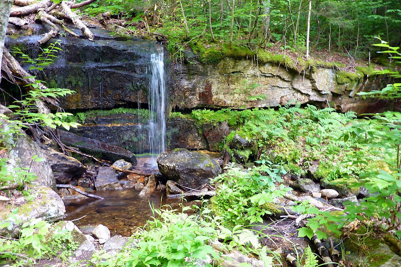
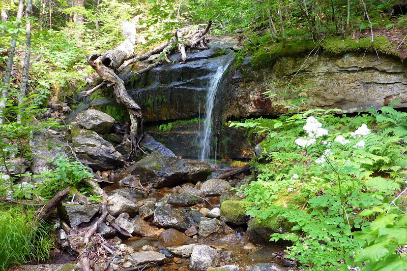
Below are two snapshots of a waterfall that I recently took from two different viewing angles. My question is as follows. Does anyone know if this is the spot that is named Rollo Fall in very old editions of the WMG? This waterfall is said to be on the Moose River which is located between the current day Lowe's Path and Castle Trail.
Most sources place Rollo Fall at an elevation of about 1550 ft elevation. However a few sources put this waterfall at an elevation that is several hundred feet higher. I took a GPS reading while standing at the bottom of the waterfall shown below. When I plotted the coordinates on a topographic map (and on GoogleEarth), I estimated an elevation of about 1810 ft.
So, here are the numbers to keep in mind:
1550 ft: Approximate elevation shown on old AMC topo maps, and the most widely accepted location for Rollo Fall.
1900 ft: Approximate elevation given on the Northeast Waterfalls website for Rollo Fall, and approximate elevation shown on map that is included with current edition of Randolph Paths guidebook.
1810 ft: Approximate elevation obtained when plotting GPS coordinates taken from the bottom of waterfall during my bushwhack.
Since there are elevation discrepancies among various information sources, I wonder if this perhaps could be a case where there is a lower and an upper Rollo Fall? I'd guess that this type of situation sometimes happens, and could lead to confusion with the passage of time. Some things are simply lost to history!
I have sent inquiries to a variety of sources and am still awaiting feedback from some of them. Of those from whom I've received feedback (including Steve Smith), all seem to think that the 1550 ft elevation is the more accurate number. In which case, Rollo Fall is NOT what is shown in the snapshots below.
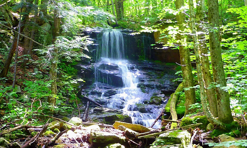
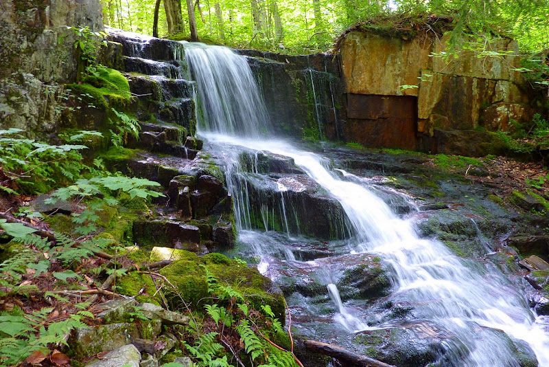
I'm told that the lower portion of the Moose River is now on private property. This might complicate the proper way to solve this puzzle by looking for a waterfall around at 1550 ft. Regardless, the situation on this particular day was that I was doing some incidental bushwhacking on the east side of the Castle Trail when I intersected the Moose River at about 1750 ft. I bushwhacked along the bank up to an elevation of about 2100 ft. The waterfall at 1810 ft (shown in the photos below) is the only waterfall that I spotted along this segment of the Moose River.


Most sources place Rollo Fall at an elevation of about 1550 ft elevation. However a few sources put this waterfall at an elevation that is several hundred feet higher. I took a GPS reading while standing at the bottom of the waterfall shown below. When I plotted the coordinates on a topographic map (and on GoogleEarth), I estimated an elevation of about 1810 ft.
So, here are the numbers to keep in mind:
1550 ft: Approximate elevation shown on old AMC topo maps, and the most widely accepted location for Rollo Fall.
1900 ft: Approximate elevation given on the Northeast Waterfalls website for Rollo Fall, and approximate elevation shown on map that is included with current edition of Randolph Paths guidebook.
1810 ft: Approximate elevation obtained when plotting GPS coordinates taken from the bottom of waterfall during my bushwhack.
Since there are elevation discrepancies among various information sources, I wonder if this perhaps could be a case where there is a lower and an upper Rollo Fall?
I have sent inquiries to a variety of sources and am still awaiting feedback from some of them. Of those from whom I've received feedback (including Steve Smith), all seem to think that the 1550 ft elevation is the more accurate number. In which case, Rollo Fall is NOT what is shown in the snapshots below.
I'm told that the lower portion of the Moose River is now on private property. This might complicate the proper way to solve this puzzle by looking for a waterfall around at 1550 ft. Regardless, the situation on this particular day was that I was doing some incidental bushwhacking on the east side of the Castle Trail when I intersected the Moose River at about 1750 ft. I bushwhacked along the bank up to an elevation of about 2100 ft. The waterfall at 1810 ft (shown in the photos below) is the only waterfall that I spotted along this segment of the Moose River.


Last edited:


