SpencerVT
Member
I am a huge nerd for old maps and I spend a lot of time pouring over historic maps, particularly of the Northeast.
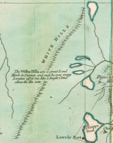
This is from the Tobias Lotter map of 1776, which is considered a remarkable early map of New England.
I found it really fascinating that the caption for the White Mountains is:
White Hills. "The Withe Hills are a great land mark to seaman and may be seen many leagues off at sea like a bright cloud above the horizon."
I would love to know what of the White Mountains can be seen from the Atlantic Ocean on a boat. I found this really cool and interesting.

