Jimmy Legs and Little D
New member
In preparation for our winter vacation in New Hampshire we headed out to the Catoctin Mountains near Thurmont, Maryland. Catoctin Mountain National Park is home to the Presidents retreat; Camp David.
http://www.nps.gov/CATO/index.htm
Our loop hike started at the visitor’s center and would parallel Route 77 for one mile until it reached the junction to the Chimney Rock trailhead. Another 1.1 miles of steep rocky trail and we reached Chimney Rock (1,419 ft.).
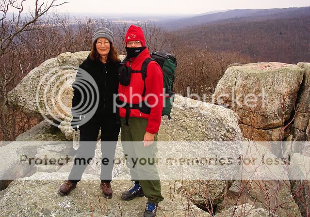
As you can see in the photo the skies were cloudy but visibility was several miles; a hint of snow was in the air. After a short stay we proceeded to our next target; Wolf Rock (1,401 ft.).
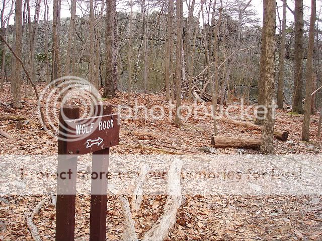
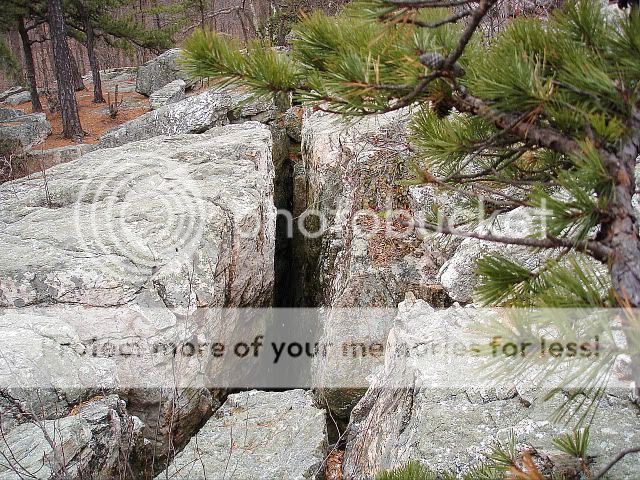
Here’s a picture of the “Wolf Rock”.
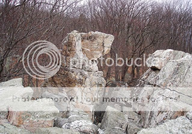
The trail crosses atop a rocky plateau with many crevices.
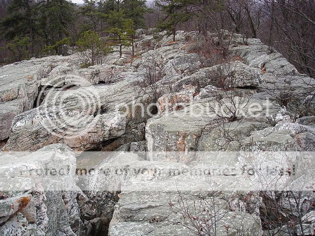
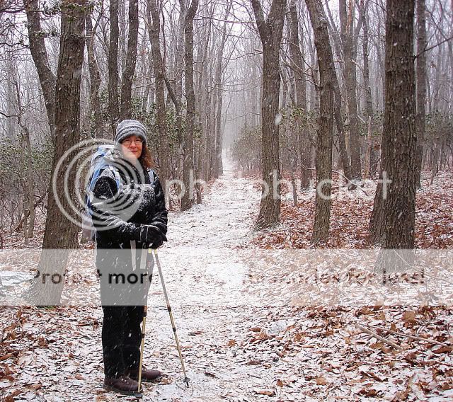
Just a half mile past Wolf Rock we encountered this snowy scene. This section has always been one of our favorites.
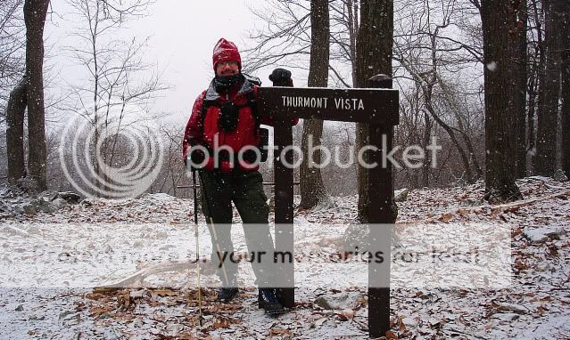
Next target: Thurmont Vista (1,499 ft.)
No view here today.
After 5.3 miles we decided to stop for lunch at the Hog Rock picnic area.

We enjoyed a nice hot lunch of beef vegetable soup and Starbucks instant coffee.

Passing Hog Rock (1,610 ft.) and continuing down towards Route 77 we reached our final leg of our loop.
Along the way we encountered snowy scenes.

We returned once again back to the visitor’s center only this time covered in snow.
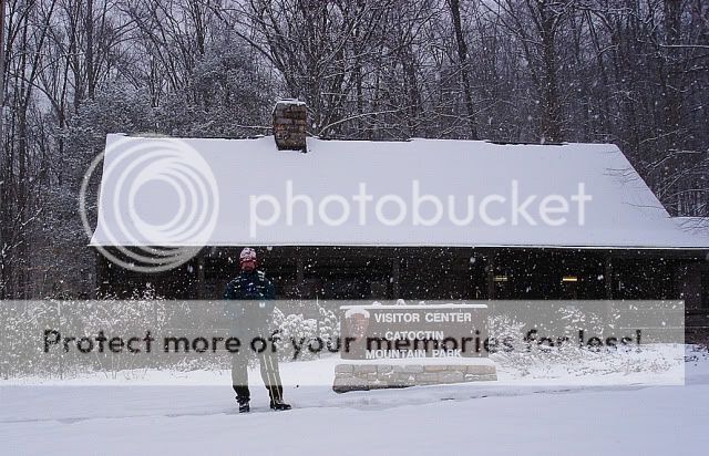
This storm was not predicted to come this far north and west, but to our delight we ended up with 6 inches of powdery snow. Today’s temperature remained around 15 degrees.
Only 4 more weeks to go!
http://www.nps.gov/CATO/index.htm
Our loop hike started at the visitor’s center and would parallel Route 77 for one mile until it reached the junction to the Chimney Rock trailhead. Another 1.1 miles of steep rocky trail and we reached Chimney Rock (1,419 ft.).

As you can see in the photo the skies were cloudy but visibility was several miles; a hint of snow was in the air. After a short stay we proceeded to our next target; Wolf Rock (1,401 ft.).

Here’s a picture of the “Wolf Rock”.

The trail crosses atop a rocky plateau with many crevices.


Just a half mile past Wolf Rock we encountered this snowy scene. This section has always been one of our favorites.

Next target: Thurmont Vista (1,499 ft.)
No view here today.

After 5.3 miles we decided to stop for lunch at the Hog Rock picnic area.

We enjoyed a nice hot lunch of beef vegetable soup and Starbucks instant coffee.

Passing Hog Rock (1,610 ft.) and continuing down towards Route 77 we reached our final leg of our loop.
Along the way we encountered snowy scenes.

We returned once again back to the visitor’s center only this time covered in snow.

This storm was not predicted to come this far north and west, but to our delight we ended up with 6 inches of powdery snow. Today’s temperature remained around 15 degrees.
Only 4 more weeks to go!
