jake L.
New member
The plan was set to do a clockwise Pemi loop with my brother and a friend a couple months ago and as the date neared the Lincoln Woods Trail closure began to loom over our itinerary. After talking with the Forest Service a couple times last week it looked like we wouldn't be affected and were good to go!
Day1 14.6 miles
We left the parking lot at Lincoln Woods at 6:30AM, the air was cool and the sky clear. Soon we turned onto the Osseo Trail which was in good shape with little mud and by 8:15AM were standing atop Mt Flume. Mt Liberty was soon reached where we were greeted by other fellow hikers coming up from Liberty Spring Tentsite. The weather was beautiful and the Sun was beating down on us as we hiked across the Franconia Ridge and by Little Haystack Mtn it was getting pretty hot. We were joined by many others as we climbed the final pitch up Mt Lafayette and by 12:15PM were enjoying lunch with a very large group on the summit.
The summit was left at 12:45PM, loosing elevation fast, leaving Lafayette behind with Mt Garfield growing near. I've always enjoyed this section of trail with its moss covered trees, ferns and especially Garfield Pond. After a stop at the pond it was a quick ascent to Garfields summit, reaching it at 2:45PM. We were overdue for some serious lounging and took some extra time to enjoy the spectacular views. After a while it was decided to retreat to Garfield Ridge Campsite to make camp for the night, where a nice platform down the hill from the shelter was found. Not long after the tent was pitched we were treated to a deluge lasting through the night until the morning accompanied with very strong winds.
Day2 12.5 miles
It was a misty morning and we took our time cooking breakfast in hopes that the weather would clear. By 9AM the weather had improved and off we went. While on the trail between Garfield and Galehead Mtn I ran into a hiker doing the New Hampshire section of the Appalachian Trail heading South who I had seen just the week before at Imp Campsite while day hiking. He was in great spirits and seemed to have had an awesome week in the mountains. By 10:30AM we were sitting on the porch of the Galehead hut enjoying a snack. Packs were dropped for the climb up Galehead and soon after were once again shouldered for the hike up South Twin Mtn.
Halfway up South Twin a girl had slipped and possibly broken her ankle. There was a man already at the scene tending to the injury and said that it was under control. The girl was very chipper, seeming to not be in much pain, so I hoped it wasn't actually a break. At the summit of South Twin there were many others out enjoying the day which had become nice and sunny. There were a number of clouds beginning to build over Franconia Ridge and rain seemed very likely. Again we dropped packs and with the imminent rain pushing us on made quick work of North Twin Mtn in 45 minutes.
The thunderheads just missed us as we departed for Mt Guyot. When we reached the spur for Guyot my brother mentioned that his feet were bothering him from a dose of poison ivy the week before and would rather go on ahead to grab a tent platform at the campsite before it filled up. We bid him farewell and dropped packs once again for a side trip to Zealand Mtn. Two nice ladies tried very hard to get us to carry their packs, tempting us with many delicious snacks. We joked with them but eventually did decline to their dismay. Soon the summit was tagged and were back at our packs in just over an hour. Reaching Guyot Campsite at 4:30PM we were relieved to find that my brother had in fact got the very last tent platform, the camp was overflowing! After a big dinner and a few hot cider bourbons we hit the hay.
Day3 12.2 miles
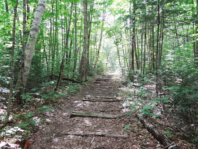
There was a good drizzle when we awoke and decided to relax at camp until 9:30AM. After a brief walk to the ridge we found ourselves at the West Bond spur where we dropped packs. The views did not disappoint, plenty of time was spent taking photos. Back at our packs it was just a short hike to the summit of Mt Bond and quickly descended into the rugged scenery of Bondcliff. I lingered, letting the other two get ahead, as I peaked over many of the cliffs along the way until eventually I found myself standing atop Bondcliff at 11:30AM. Blisters were tended to and bellies filled before the final descent was made down the Bondcliff Trail. At the junction of the Wilderness trail we stopped for a rest beneath a tree and eyed many of the interesting artifacts strewn about; glass jug pieces, a pair of old leather shoes, rusted tin cans and much more left from the days when the train ran through these woods.
The Wilderness Trail passed by as monotonously as ever. After crossing the suspension bridge we were violently thrown back into civilization joining the masses for the stroll out of Lincoln Woods. We were back to our cars all too quickly by 3:30PM, a little glum to be over with such a fine journey. I recommend not parking by the restrooms, after three days the crows made a fine mess of our cars enjoying their fill of ripe berries!
Photos Below:
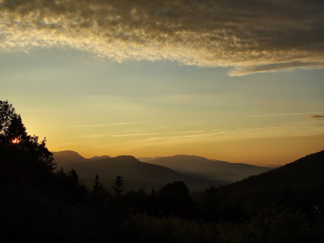
Sunrise from Kancamagus Pass
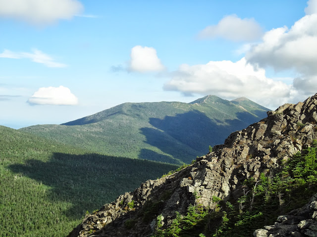
Franconia Ridge from Mt Flume
Mt Garfield from Mt Liberty
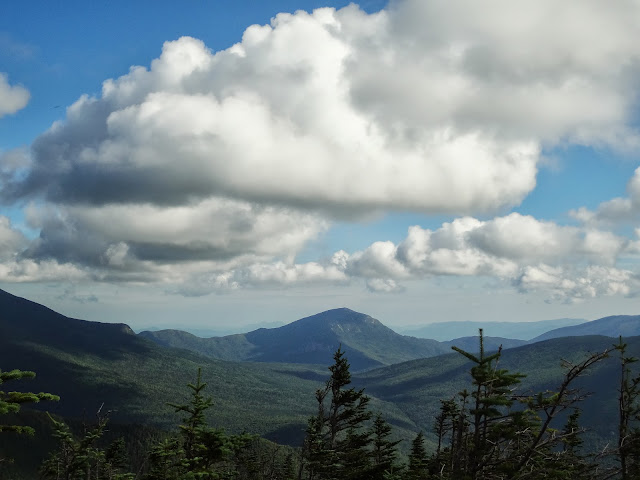
Mt Liberty and Mt Flume
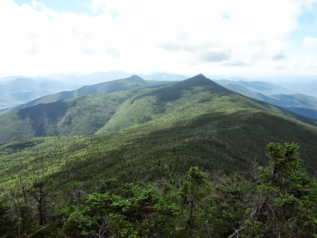
Cannon Mtn
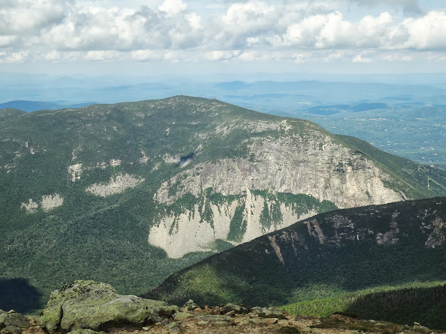
Mt Lincoln
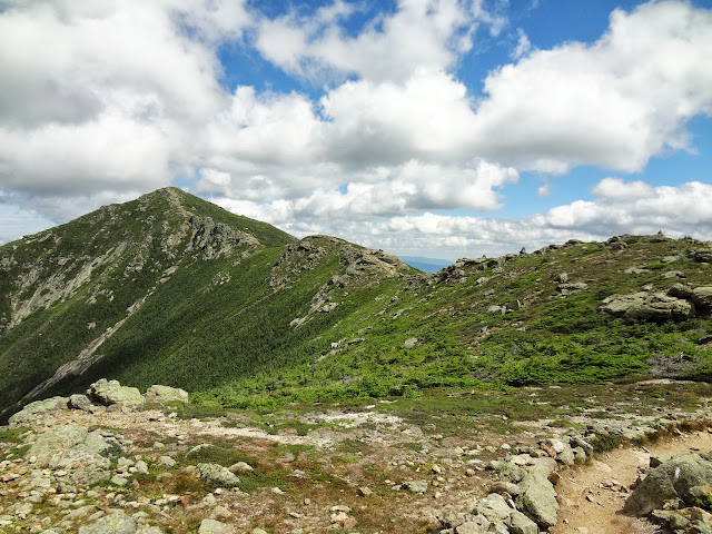
Mt Lafayette
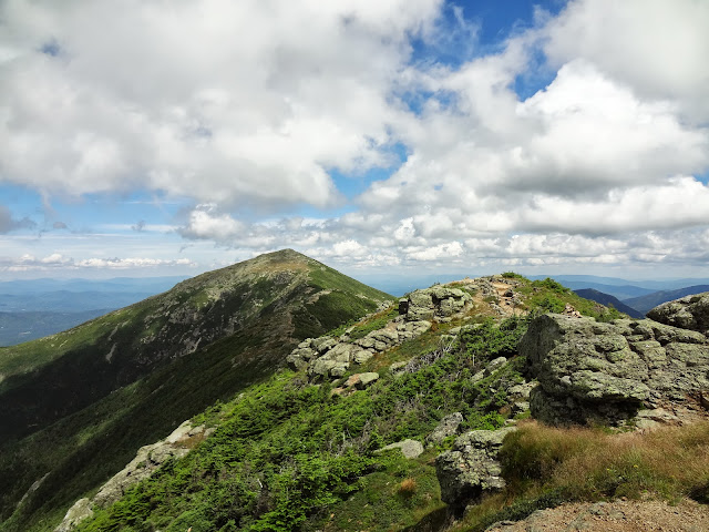
Mt Lafayette and the Pemigewasset

The Pemigewasset from Mt Garfield

Thunderheads from South Twin Mt
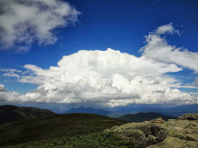
Rain showers approach Galehead and South Twin from North Twin Mt

West Bond and the Pemigewasset from Mt Guyot

...Continued Below...
Day1 14.6 miles
We left the parking lot at Lincoln Woods at 6:30AM, the air was cool and the sky clear. Soon we turned onto the Osseo Trail which was in good shape with little mud and by 8:15AM were standing atop Mt Flume. Mt Liberty was soon reached where we were greeted by other fellow hikers coming up from Liberty Spring Tentsite. The weather was beautiful and the Sun was beating down on us as we hiked across the Franconia Ridge and by Little Haystack Mtn it was getting pretty hot. We were joined by many others as we climbed the final pitch up Mt Lafayette and by 12:15PM were enjoying lunch with a very large group on the summit.
The summit was left at 12:45PM, loosing elevation fast, leaving Lafayette behind with Mt Garfield growing near. I've always enjoyed this section of trail with its moss covered trees, ferns and especially Garfield Pond. After a stop at the pond it was a quick ascent to Garfields summit, reaching it at 2:45PM. We were overdue for some serious lounging and took some extra time to enjoy the spectacular views. After a while it was decided to retreat to Garfield Ridge Campsite to make camp for the night, where a nice platform down the hill from the shelter was found. Not long after the tent was pitched we were treated to a deluge lasting through the night until the morning accompanied with very strong winds.
Day2 12.5 miles
It was a misty morning and we took our time cooking breakfast in hopes that the weather would clear. By 9AM the weather had improved and off we went. While on the trail between Garfield and Galehead Mtn I ran into a hiker doing the New Hampshire section of the Appalachian Trail heading South who I had seen just the week before at Imp Campsite while day hiking. He was in great spirits and seemed to have had an awesome week in the mountains. By 10:30AM we were sitting on the porch of the Galehead hut enjoying a snack. Packs were dropped for the climb up Galehead and soon after were once again shouldered for the hike up South Twin Mtn.
Halfway up South Twin a girl had slipped and possibly broken her ankle. There was a man already at the scene tending to the injury and said that it was under control. The girl was very chipper, seeming to not be in much pain, so I hoped it wasn't actually a break. At the summit of South Twin there were many others out enjoying the day which had become nice and sunny. There were a number of clouds beginning to build over Franconia Ridge and rain seemed very likely. Again we dropped packs and with the imminent rain pushing us on made quick work of North Twin Mtn in 45 minutes.
The thunderheads just missed us as we departed for Mt Guyot. When we reached the spur for Guyot my brother mentioned that his feet were bothering him from a dose of poison ivy the week before and would rather go on ahead to grab a tent platform at the campsite before it filled up. We bid him farewell and dropped packs once again for a side trip to Zealand Mtn. Two nice ladies tried very hard to get us to carry their packs, tempting us with many delicious snacks. We joked with them but eventually did decline to their dismay. Soon the summit was tagged and were back at our packs in just over an hour. Reaching Guyot Campsite at 4:30PM we were relieved to find that my brother had in fact got the very last tent platform, the camp was overflowing! After a big dinner and a few hot cider bourbons we hit the hay.
Day3 12.2 miles
There was a good drizzle when we awoke and decided to relax at camp until 9:30AM. After a brief walk to the ridge we found ourselves at the West Bond spur where we dropped packs. The views did not disappoint, plenty of time was spent taking photos. Back at our packs it was just a short hike to the summit of Mt Bond and quickly descended into the rugged scenery of Bondcliff. I lingered, letting the other two get ahead, as I peaked over many of the cliffs along the way until eventually I found myself standing atop Bondcliff at 11:30AM. Blisters were tended to and bellies filled before the final descent was made down the Bondcliff Trail. At the junction of the Wilderness trail we stopped for a rest beneath a tree and eyed many of the interesting artifacts strewn about; glass jug pieces, a pair of old leather shoes, rusted tin cans and much more left from the days when the train ran through these woods.
The Wilderness Trail passed by as monotonously as ever. After crossing the suspension bridge we were violently thrown back into civilization joining the masses for the stroll out of Lincoln Woods. We were back to our cars all too quickly by 3:30PM, a little glum to be over with such a fine journey. I recommend not parking by the restrooms, after three days the crows made a fine mess of our cars enjoying their fill of ripe berries!
Photos Below:
Sunrise from Kancamagus Pass

Franconia Ridge from Mt Flume

Mt Garfield from Mt Liberty

Mt Liberty and Mt Flume

Cannon Mtn

Mt Lincoln

Mt Lafayette

Mt Lafayette and the Pemigewasset

The Pemigewasset from Mt Garfield

Thunderheads from South Twin Mt

Rain showers approach Galehead and South Twin from North Twin Mt

West Bond and the Pemigewasset from Mt Guyot

...Continued Below...
Last edited:


