Becca M
Active member
Lafayette via Greenleaf Trail, 3-24-2012
Started off the day with cheap end-of-season ski tix for Cannon. Mid-day I left the crowds and headed to the tramway parking lot. I wasn’t really sure what I’d encounter for snow on the Greenleaf Trail, but, I was hopeful I would get home for dinner if I could move quickly. Snow coverage started in the outlook near Eagle Cliff. The monorail was difficult to assess: put on the snowshoes or wait… EH, just put ‘em on! It was a little icy and rocky for snowshoes at times, but, for the 500+ vertical feet below the hut, it was pretty efficient moving in the snowshoes. Saw only a couple of people below the hut and then the crowds appeared between the hut and the summit. It was a really great day!!!
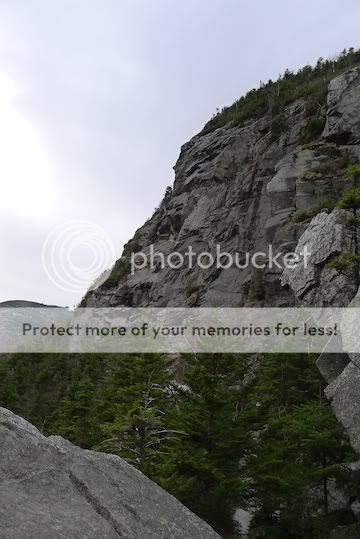
The rocky shoulder of Eagle Cliff (on the way up):
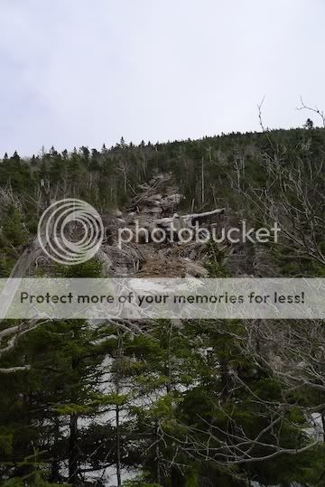
Landslide evidence south of the outlook (across from Eagle Cliff):
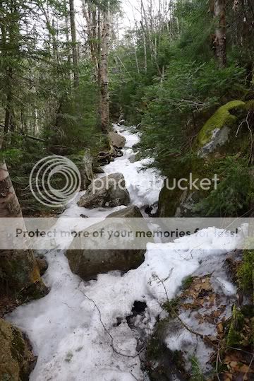
Snow monorail above the outlook near Eagle Cliff:
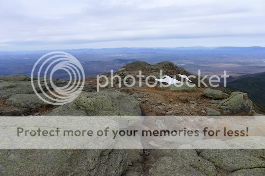
View from the top:
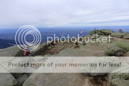
Actual people on the summit. It was a little brisk for shirtless, but, one guy was!!!
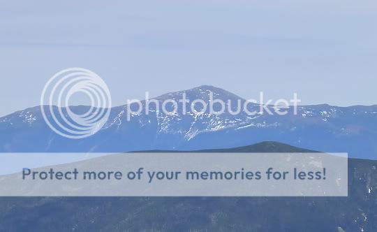
View towards Washington – so little snow for this time of year!!! Ordinarily there would be crowds skiing there. This year they would be too late!!
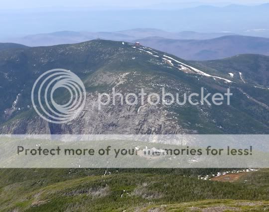
A look over to Cannon – pretty dramatic from this side of the highway!
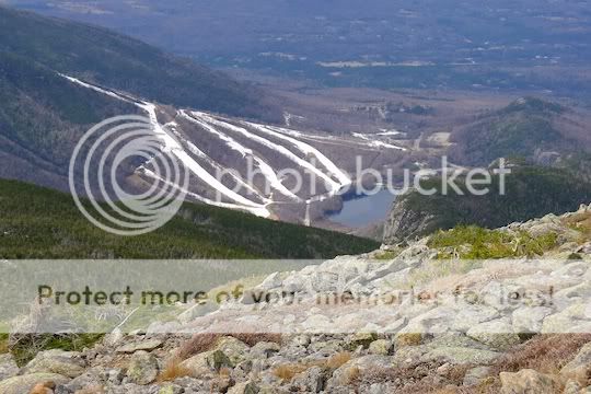
And looking back to the ski trails from the morning – the 2 right trails had decent coverage but, it was unnerving looking down into Echo Lake from the top of the slopes.
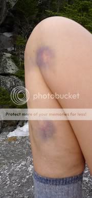
It was definitely a shorts day – nice matching souvenirs of mid-ski-season ice – OUCH! Kind of looks like a yin/yang design.
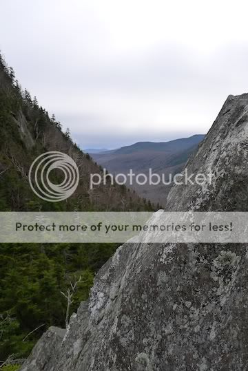
Back down, one final look through the Eagle Cliff outlook towards the west:
Started off the day with cheap end-of-season ski tix for Cannon. Mid-day I left the crowds and headed to the tramway parking lot. I wasn’t really sure what I’d encounter for snow on the Greenleaf Trail, but, I was hopeful I would get home for dinner if I could move quickly. Snow coverage started in the outlook near Eagle Cliff. The monorail was difficult to assess: put on the snowshoes or wait… EH, just put ‘em on! It was a little icy and rocky for snowshoes at times, but, for the 500+ vertical feet below the hut, it was pretty efficient moving in the snowshoes. Saw only a couple of people below the hut and then the crowds appeared between the hut and the summit. It was a really great day!!!
The rocky shoulder of Eagle Cliff (on the way up):

Landslide evidence south of the outlook (across from Eagle Cliff):

Snow monorail above the outlook near Eagle Cliff:

View from the top:

Actual people on the summit. It was a little brisk for shirtless, but, one guy was!!!

View towards Washington – so little snow for this time of year!!! Ordinarily there would be crowds skiing there. This year they would be too late!!

A look over to Cannon – pretty dramatic from this side of the highway!

And looking back to the ski trails from the morning – the 2 right trails had decent coverage but, it was unnerving looking down into Echo Lake from the top of the slopes.

It was definitely a shorts day – nice matching souvenirs of mid-ski-season ice – OUCH! Kind of looks like a yin/yang design.

Back down, one final look through the Eagle Cliff outlook towards the west:

