PETCH
New member
Date of Hike: 11/27/10
Peaks/Trails: Carrigain via Signal Ridge Trail
Cast of Characters: Todd, Steve, Pat, Ryan, Petch
Trail Conditions: 2-4 inches of snow on the ground by 2:30pm. Some ice under the snow at elevation. Bare bootable, but most of us wore microspikes for upper sections. Stream crossings were rock hoppable
Stats: 10 miles, 3250ft of ele, 5 hrs 50 min.
Tails from the trail:
- 1 vehicle down at the Winter parking lot, and only 1 vehicle in the Signal Ridge parking area. The road was open.
- 1-2" of snow on the ground to start
- Snow flurries just about all day, heavier on the descent
- Some views of Carrigain Notch, Mt Lowell, Vose Spur on the ascent, minimal views on top, nothing on the way down
- 3/5 of us wore microspikes for the upper sections (some blue ice under snow) but can be bare booted with care
- Chocolate covered donuts and PBR's for a post hike treat!
- Yes, I know, Sunday was going to be the better view day, but you hike when you can hike and just roll with the weather sista......
- Interesting seeing road cyclists on the Westside road biking in semi-blizzard conditions, also saw a vehicle off the road in Fryeburg
- Congrats to Todd on #33!
Minimal pics due to weather:
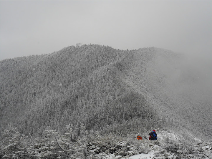
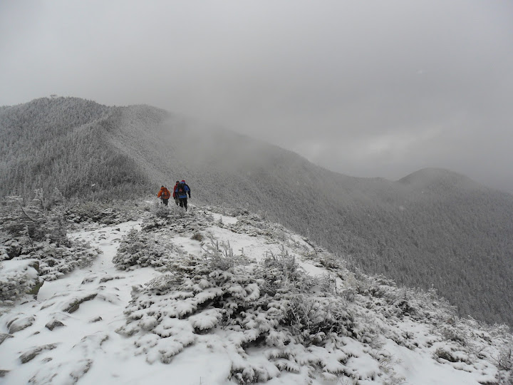
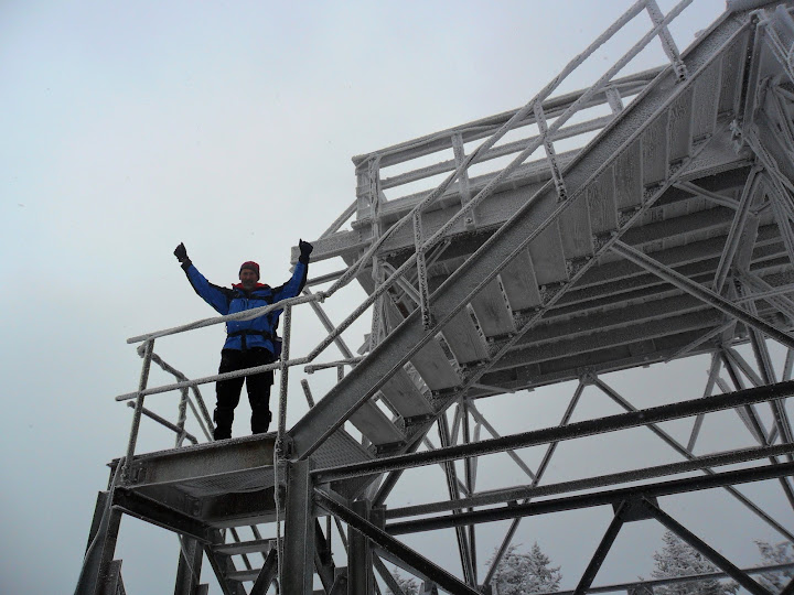
Signal Ridge with Carrigain Tower up ahead
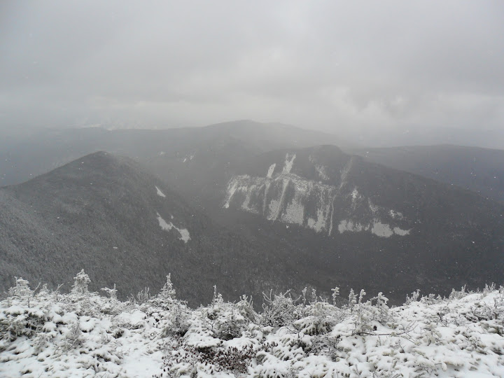
Vose Spur and Mt Lowell
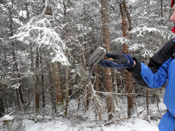
A bird in the hand......
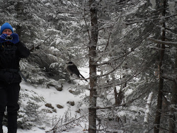
Pat, "Look Ma, no hands!"
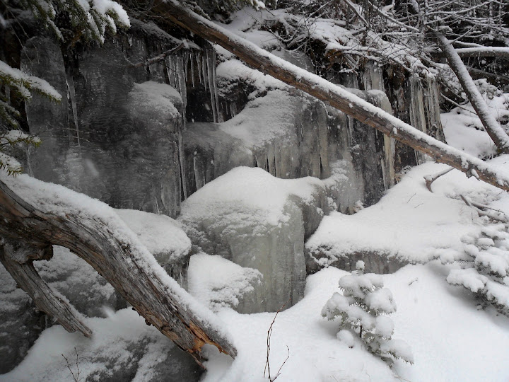
Ice Formations
Slideshow ^
Stay Thirsty my Friends
Petch
Hiking Pictures:http://picasaweb.google.com/mpetcher
Ascent List:http://peakbagger.com/climber/climblistc.aspx?cid=1767[/quote][/QUOTE]
Peaks/Trails: Carrigain via Signal Ridge Trail
Cast of Characters: Todd, Steve, Pat, Ryan, Petch
Trail Conditions: 2-4 inches of snow on the ground by 2:30pm. Some ice under the snow at elevation. Bare bootable, but most of us wore microspikes for upper sections. Stream crossings were rock hoppable
Stats: 10 miles, 3250ft of ele, 5 hrs 50 min.
Tails from the trail:
- 1 vehicle down at the Winter parking lot, and only 1 vehicle in the Signal Ridge parking area. The road was open.
- 1-2" of snow on the ground to start
- Snow flurries just about all day, heavier on the descent
- Some views of Carrigain Notch, Mt Lowell, Vose Spur on the ascent, minimal views on top, nothing on the way down
- 3/5 of us wore microspikes for the upper sections (some blue ice under snow) but can be bare booted with care
- Chocolate covered donuts and PBR's for a post hike treat!
- Yes, I know, Sunday was going to be the better view day, but you hike when you can hike and just roll with the weather sista......
- Interesting seeing road cyclists on the Westside road biking in semi-blizzard conditions, also saw a vehicle off the road in Fryeburg
- Congrats to Todd on #33!
Minimal pics due to weather:
Signal Ridge with Carrigain Tower up ahead


Vose Spur and Mt Lowell

A bird in the hand......


Pat, "Look Ma, no hands!"

Ice Formations


Slideshow ^
Stay Thirsty my Friends
Petch
Hiking Pictures:http://picasaweb.google.com/mpetcher
Ascent List:http://peakbagger.com/climber/climblistc.aspx?cid=1767[/quote][/QUOTE]
Last edited:
