Captain-Slow
New member
Saturday November 30, 2024. Hike to The Scaur from Livermore Rd trailhead in Waterville Valley NH.
The plan was originally a 9 mile full loop I did back in May up to The Scaur, down to The Waterville Flume, then up The Old Skidder back to Livermore Rd down to Norway Rapids and back to the trailhead with stop at The Big Pines side path. When I planned it out 2 weeks ago the forecast was for a dusting of snow, but the reality after The Thanksgiving Day storm was very different. I had also reached out by email to Steve Smith of The Mountain Wanderer a week and a half ago for some advice on how to go about The Scaur and The Flume with the potential of ice/snow. He told me some trouble spots to watch out for, so big thanks to him. The advice was still solid despite there being much more snow.
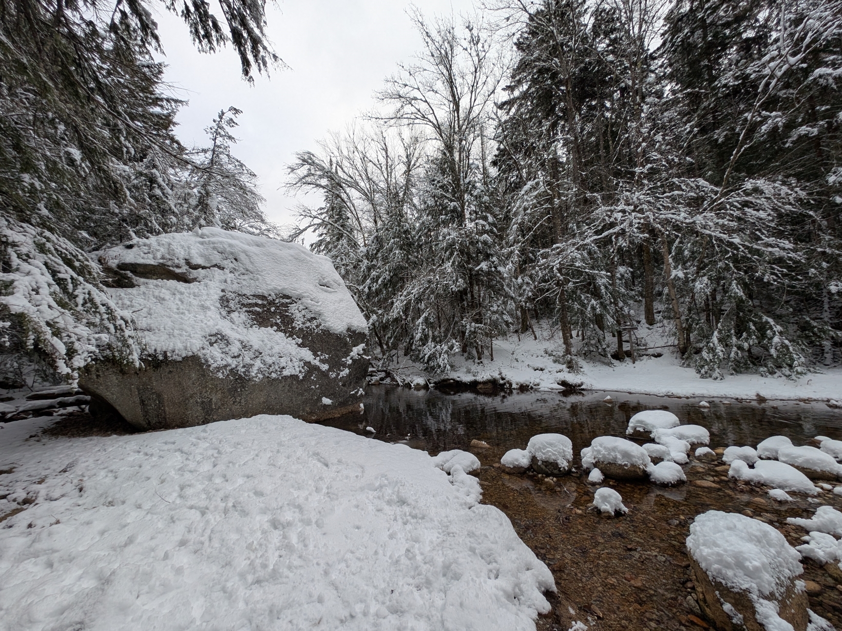
This was my first time doing a hike with snow on the ground and it started out easily along Livermore Rd at 8:30 am using micro spikes. Based on all the tracks, it had already been very well used by cross-country skiers, pulk sleds and fat bikes that had come through on Thursday and Friday which left the surface nicely packed down to about 2 inches with roughly 6 inches on the sides of the trail. I made a brief side diversion to The Bowlder, as spelled in the Arthur L. Goodrich Waterville guides printed in 1892, 1904 and 1916, then bushwhacked up the hill back to Livermore Rd to avoid backtracking 300 feet.
I arrived at Kettle’s Path shortly before 9am and it was still fully unbroken, not a human print in sight, lots of animal prints though. Along Kettle’s Path, the snow gradually transitioned from a wet and crunchy 6 inches to about 1 foot of light powder the further up I went. The Scaur itself was closer to 14 inches in a few spots, which I reached at 10:30am.
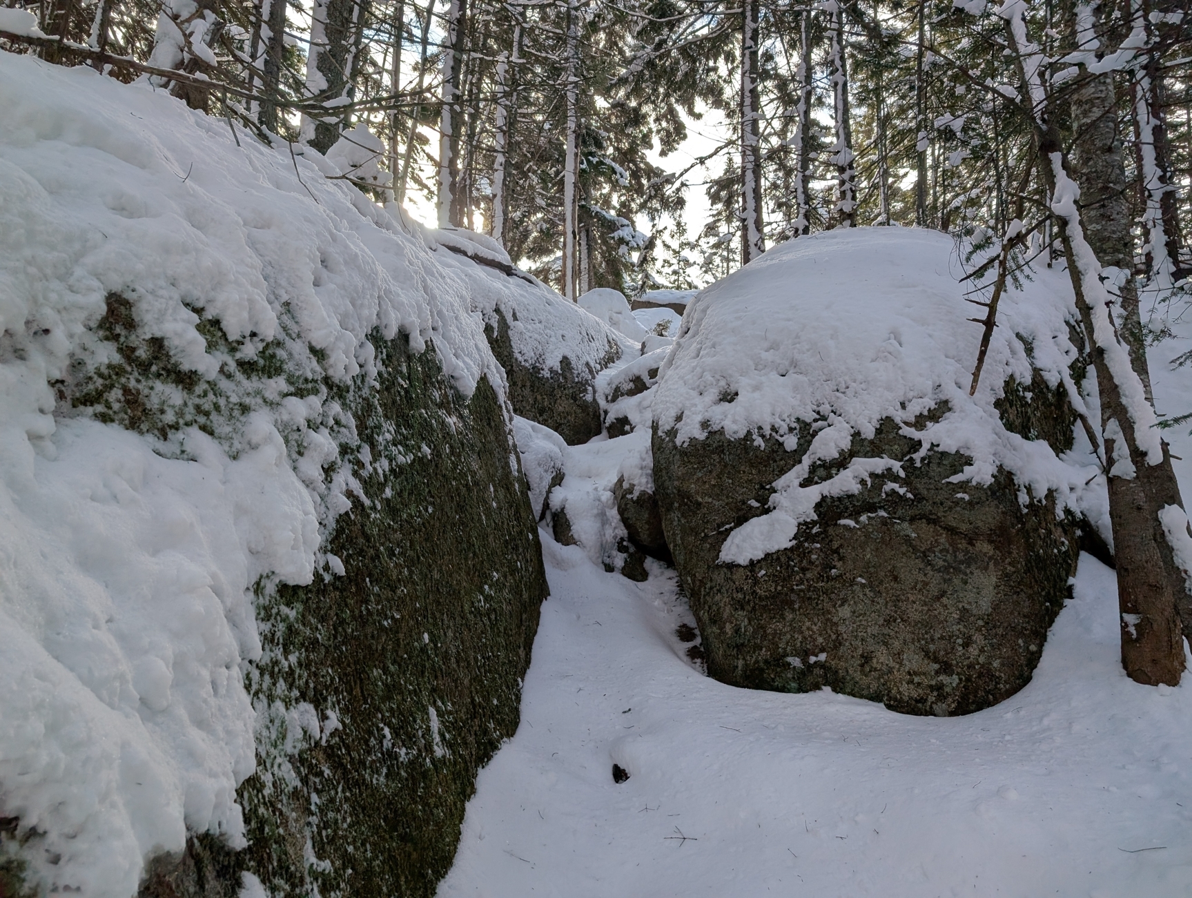
I knew the snow would slow me down closer to the top, but I didn’t expect it to take 2 hours to reach The Scaur which in the summer usually takes a little under an hour. The final 0.2 miles on the steepest sections was very slow going finding solid footings and hoping to not trip on buried roots and rocks. This was when I realized trying for the full loop would not be wise for my first snow hiking.
I made my way back down from The Scaur at 11am and reached the Livermore Trailhead around noon making much better time downhill following my boot prints where all the good foot holds were.
Overall, it was an amazing experience. Next up on my to-do list is learning snow shoeing and maybe cross-country skiing.
The Bowlder

The final tricky bit

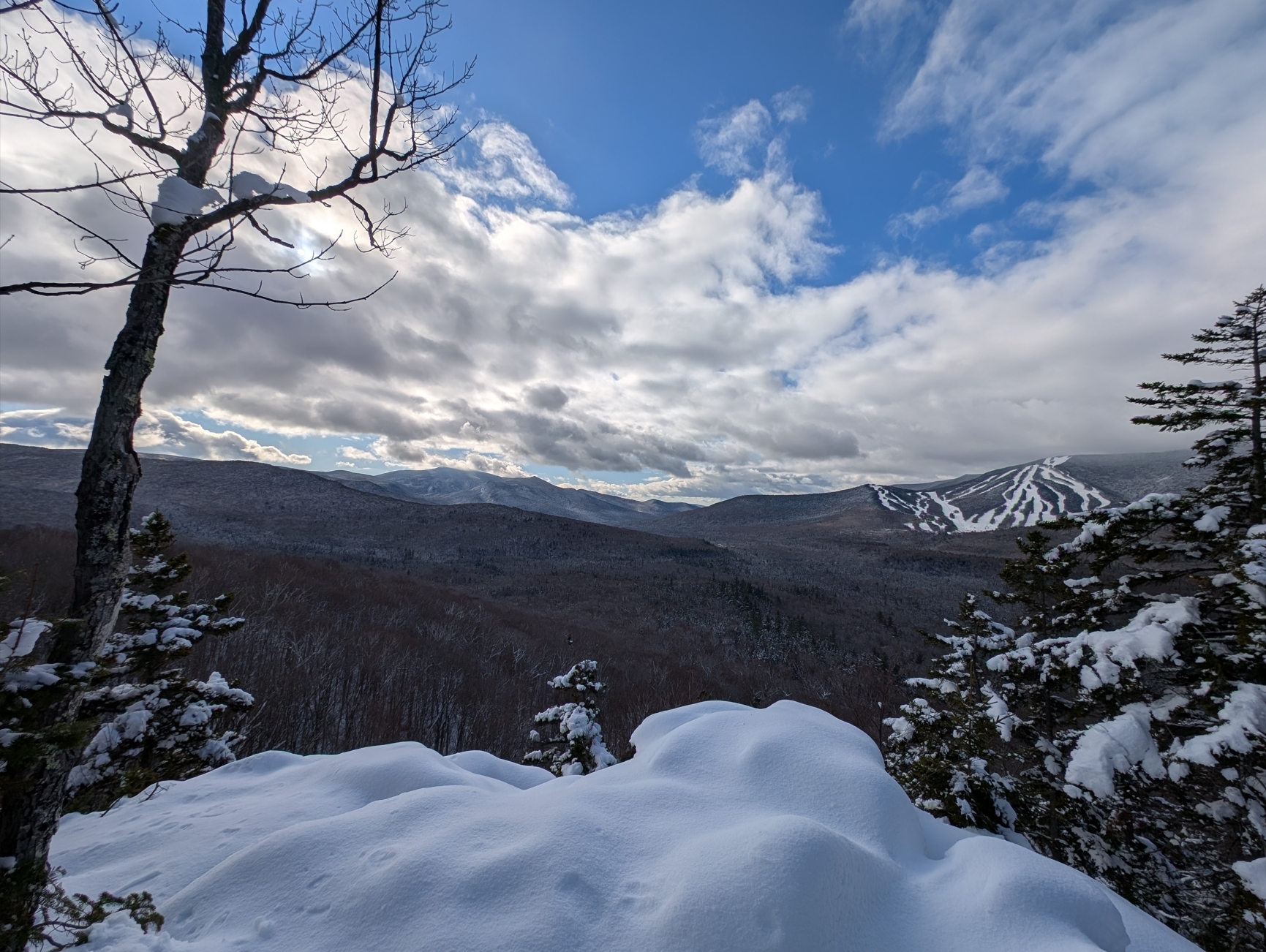
The view from the top of the Scaur spanning The Sandwich Range and Mt. Tecumseh ski slopes

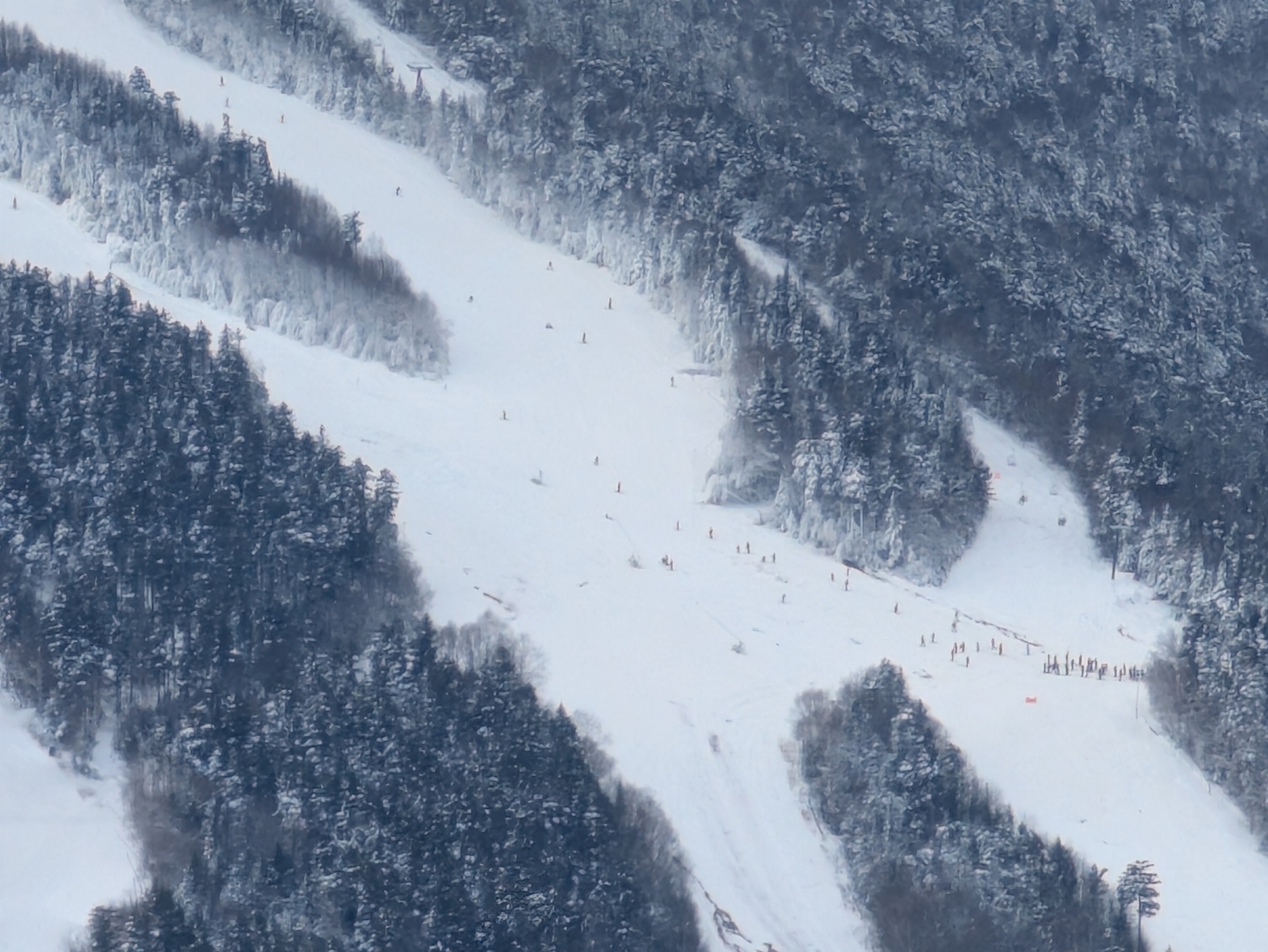
Lots of skiers out on Waterville Valley's opening day.

The plan was originally a 9 mile full loop I did back in May up to The Scaur, down to The Waterville Flume, then up The Old Skidder back to Livermore Rd down to Norway Rapids and back to the trailhead with stop at The Big Pines side path. When I planned it out 2 weeks ago the forecast was for a dusting of snow, but the reality after The Thanksgiving Day storm was very different. I had also reached out by email to Steve Smith of The Mountain Wanderer a week and a half ago for some advice on how to go about The Scaur and The Flume with the potential of ice/snow. He told me some trouble spots to watch out for, so big thanks to him. The advice was still solid despite there being much more snow.
This was my first time doing a hike with snow on the ground and it started out easily along Livermore Rd at 8:30 am using micro spikes. Based on all the tracks, it had already been very well used by cross-country skiers, pulk sleds and fat bikes that had come through on Thursday and Friday which left the surface nicely packed down to about 2 inches with roughly 6 inches on the sides of the trail. I made a brief side diversion to The Bowlder, as spelled in the Arthur L. Goodrich Waterville guides printed in 1892, 1904 and 1916, then bushwhacked up the hill back to Livermore Rd to avoid backtracking 300 feet.
I arrived at Kettle’s Path shortly before 9am and it was still fully unbroken, not a human print in sight, lots of animal prints though. Along Kettle’s Path, the snow gradually transitioned from a wet and crunchy 6 inches to about 1 foot of light powder the further up I went. The Scaur itself was closer to 14 inches in a few spots, which I reached at 10:30am.
I knew the snow would slow me down closer to the top, but I didn’t expect it to take 2 hours to reach The Scaur which in the summer usually takes a little under an hour. The final 0.2 miles on the steepest sections was very slow going finding solid footings and hoping to not trip on buried roots and rocks. This was when I realized trying for the full loop would not be wise for my first snow hiking.
I made my way back down from The Scaur at 11am and reached the Livermore Trailhead around noon making much better time downhill following my boot prints where all the good foot holds were.
Overall, it was an amazing experience. Next up on my to-do list is learning snow shoeing and maybe cross-country skiing.
The Bowlder

The final tricky bit

The view from the top of the Scaur spanning The Sandwich Range and Mt. Tecumseh ski slopes

Lots of skiers out on Waterville Valley's opening day.

