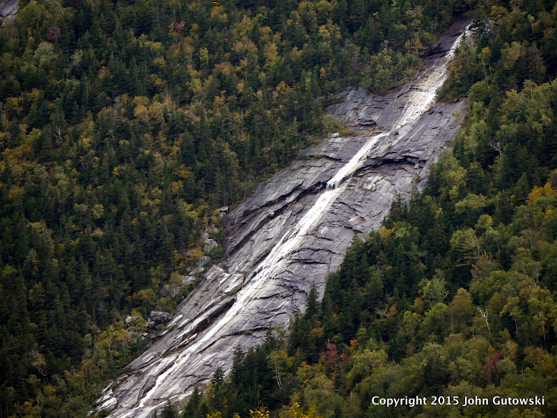
After Today's Rain 9-30-15

vftt.org

Help Support vftt.org:

This site may earn a commission from merchant affiliate links, including eBay, Amazon, and others.

J&J

Active member
Joined
Oct 6, 2004
Messages
534
Reaction score
186
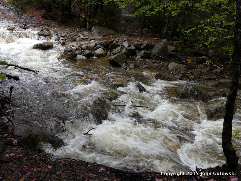
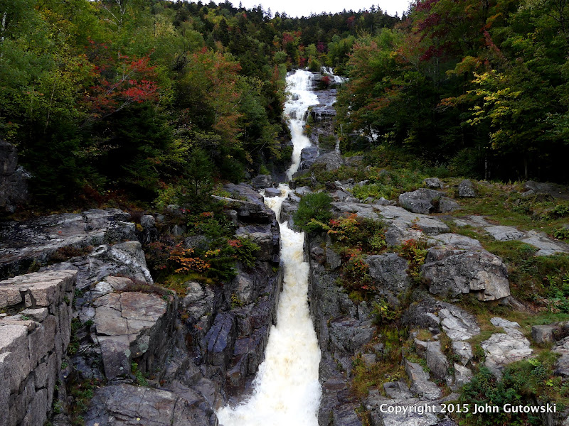
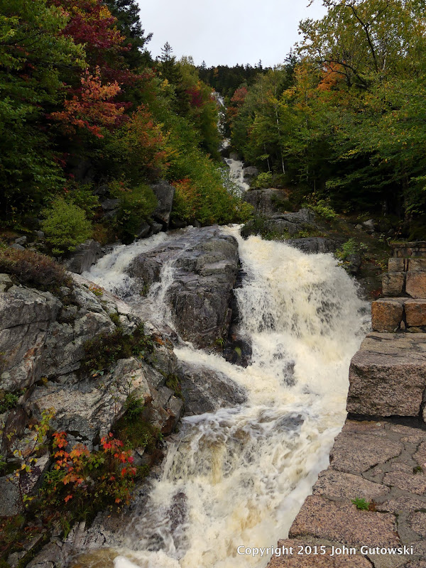
A handful of pictures of the current water levels after today's 3.8" rain in Twin Mountain. Rivers are cranking!

Ammo River from the Zealand Rd. bridge.
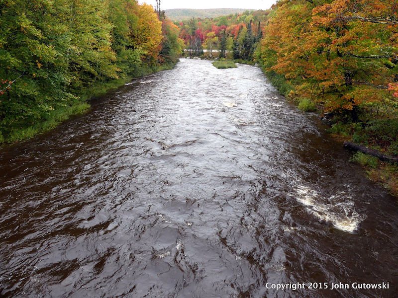
P1010167.JPG


Avalon trail river crossing going up Tom/Avalon.
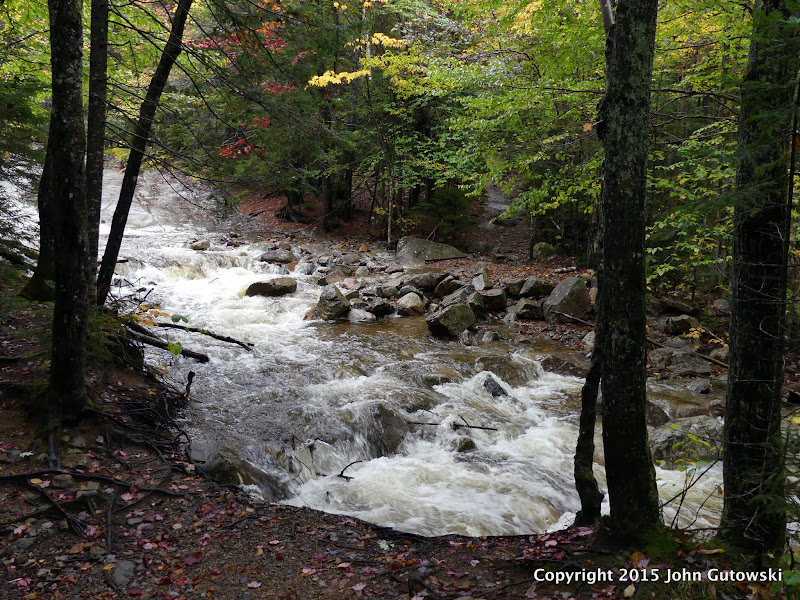
P1010170.JPG


Closer look.
P1010172.JPG


Silver Cascade.
P1010179.JPG


Flume Cascade.
P1010181.JPG


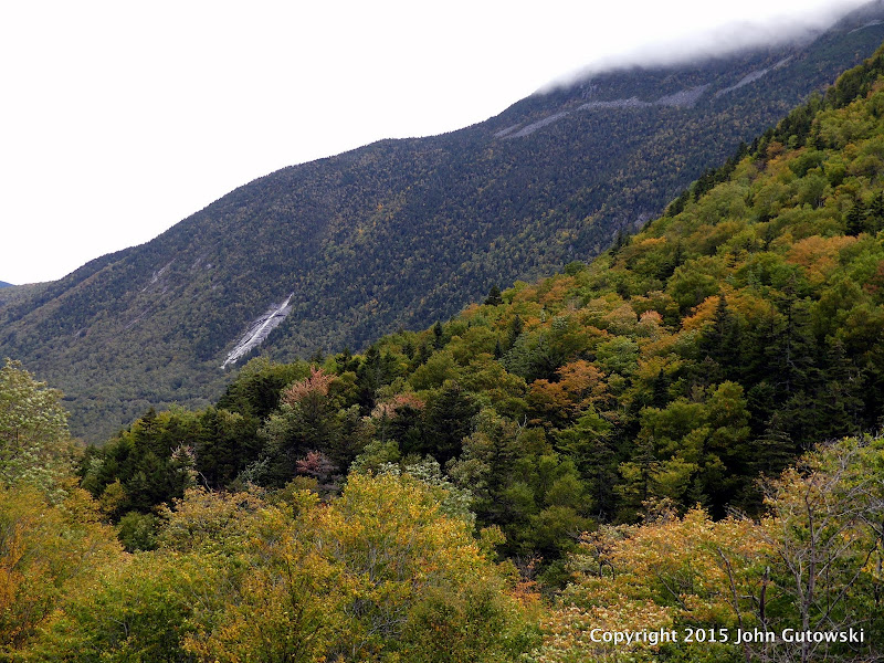
Slide on the side of Mt. Willey.
P1010195.JPG


Close up view.
P1010193.JPG
 
I am curious if the north section of Jefferson Notch Road made it through the storm, its tends to rut up with heavy rain.
 
What about Castle Ravine? Some of those crossings are supposed to be pretty difficult anyway. Is hiking there out of the question until the next drought?

There are a lot of crossings on that route. Many are indeed quite awkward. From the looks of most of the river gauges though most of the rivers have receded to pre 9/30 water levels so I wouldn't think they'd be bad. I'd be more worried about ice on the rocks with the cold weather setting in. The headwall of the ravine is a pretty good scramble.
 
Top