Papa Bear
New member
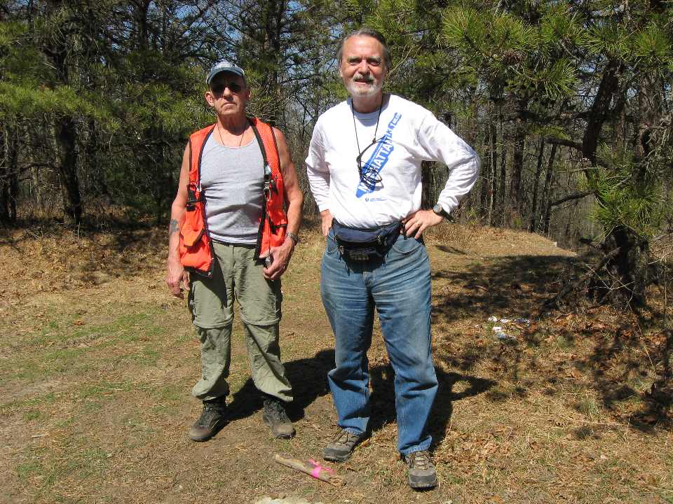
A couple of weekends ago, I spent half of Friday and almost all of Saturday and Sunday "bagging" what most would call modest (perhaps "meager") hills in Massachusetts (plus one was in Rhode Island). A friend Dave met me for most of Saturday and all of Sunday's fun. From my base in Natick Massachusetts, I drove 625.6 miles, and used 19.66 gallons of gas costing $65.70. This was all for 9 hills (plus one locked gate).
So for my target group (9) that's 69.5 miles per hill with an "assault" time of between 1 minute and 30 minutes per peak. (Did I say "1 minute"? - yes, read on.) Pretty sparse peak bagging, you might say. So I say, look at this map:
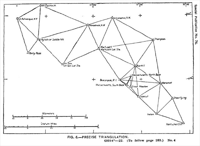
So what is that all about, you say? Those hills were used by surveyors in the 19th century Triangulation of Massachusetts (which formed part of the Eastern Oblique Arc) which took place between 1833 and 1874. And since you asked, the survey report (yes, with all the latitudes and longitudes) was published in 1922 as USCGS Special Publication No. 76. As for the "Eastern Oblique Arc", let's not go there in this forum, but if I've piqued your curiosity, start with this: Eastern Oblique Arc for Muggles or this: Eastern Oblique Arc for Geeks. But if you ever worried about datums and how we got them, take a look. (And yes it's datums, not data).
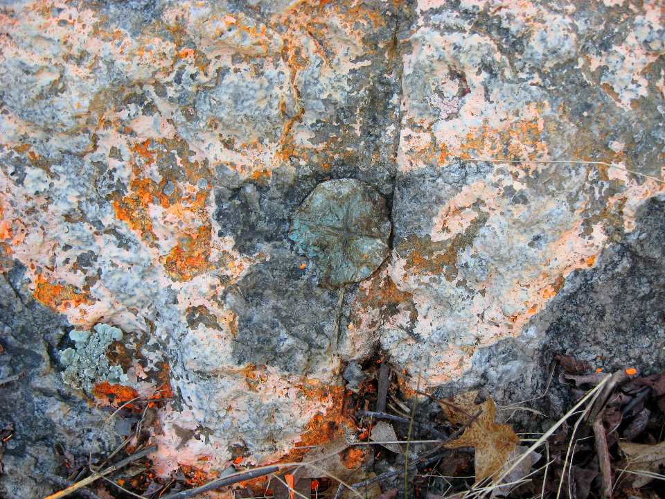
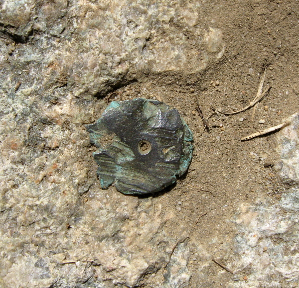
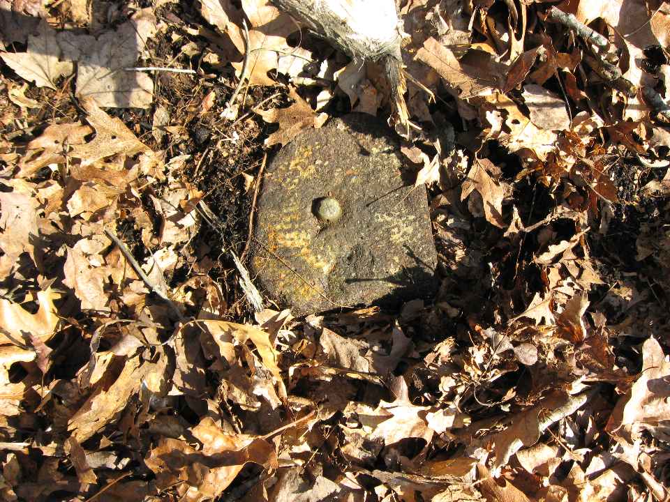
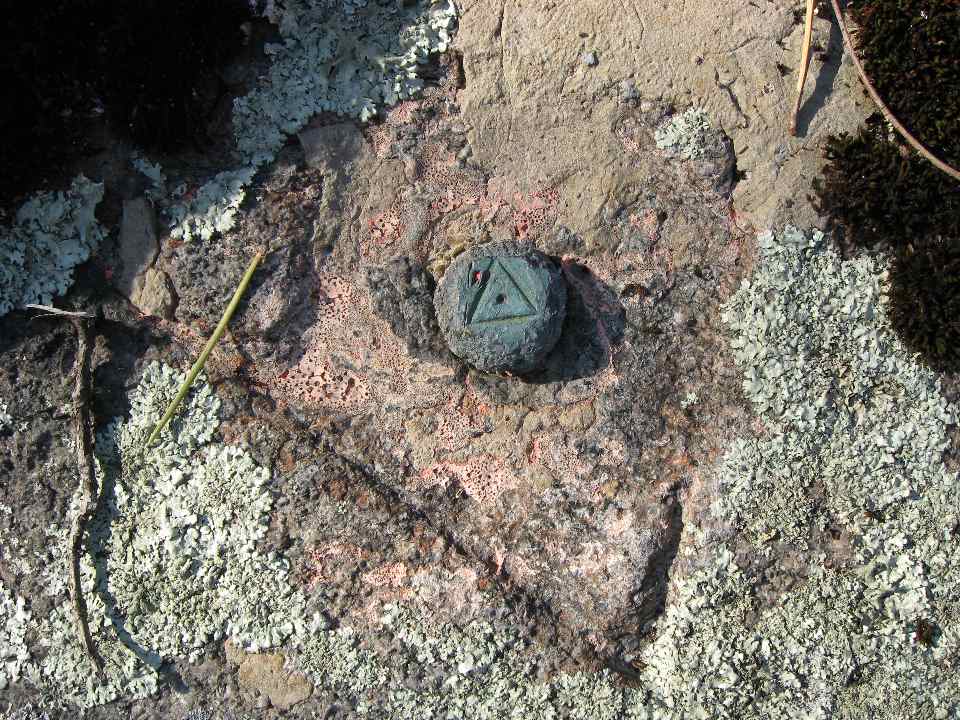
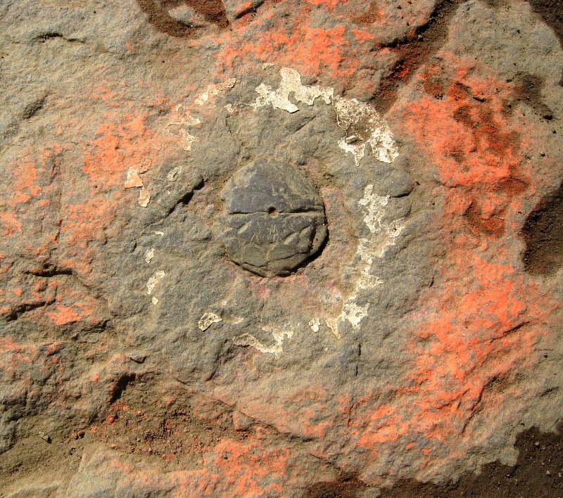
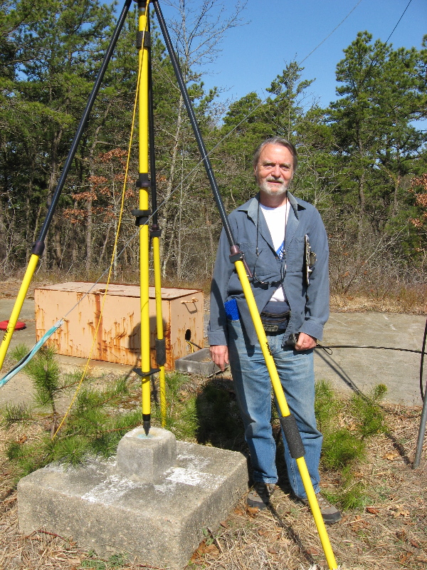
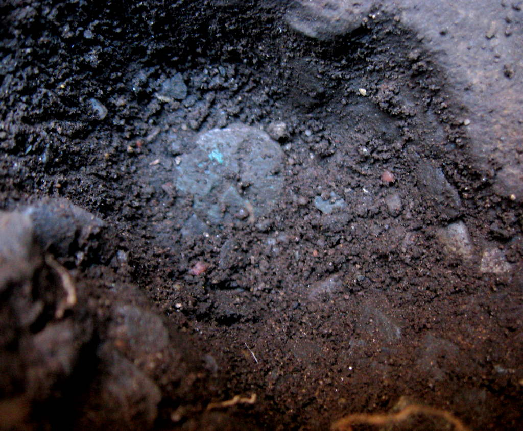
By now, those who know me realize this is about finding benchmarks, very old benchmarks - or survey markers as we prefer to call them. These particular "stations" are all "Triangulation Stations", a sub category of survey markers. Many of you have been to a good number of these "peaks" and never noticed right where you were standing was an old copper bolt, or maybe a drill hole in the rock. That copper bolt or drill hole just may have been there for 175 years!
Well, every hill on that map is beyond my capacity for one weekend, especially since the driving was much longer than the hiking, so here's what I "chewed off":
Friday:
Thompson Hill (1845) aka Mount Ann
Saturday:
Shootflying Hill (1845)
Pine Hill (1835, reset 1932) - a no cost extra
Manomet Hill (1835)
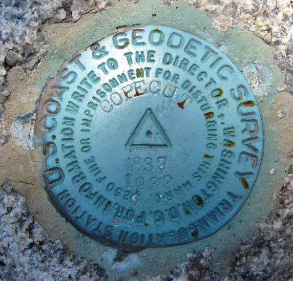
Copecut Hill (1837, reset 1932)
Massachusetts North Base (1844)
Beaconpole Hill (1844, reset 1932)
Sunday:
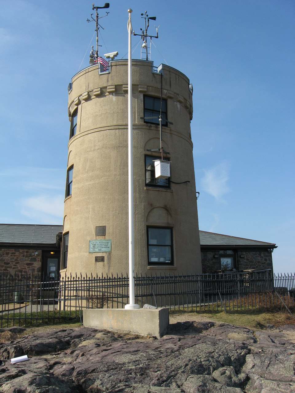
Blue Hill (1845)
Mount Wachusett (1833, moved 1895, reset 1936)
Mount Tom (1862)
The dates are when the surveyors did their stuff. "reset" means a disk replaced the original mark, generally in the 1930s, when surveyors had nothing better to do.
Of the others on the map, Nantucket Cliff was lost 100 years ago and the Equinox and Graylock survey markers were destroyed when the summits were "defaced" with structures. Massachusetts South Base was evidently destroyed when new tracks were laid some time prior to 1934, and Great Meadow is in a National Guard facility which was closed and locked tight when we went there on Saturday.
Here's my report on the benchmark hunting forum I belong to: Benchmark report. I'll summarize the trek from a hiking/peak bagging perspective here. Note to Fire Tower baggers: Many of these "peaks" were fire tower peaks in the past. A couple (Copecut and Wachusett) are still Active. This is not an accident, since the peaks that had the best views, also made the best spots for triangulation stations. Look at that map again: each line connecting one or more stations indicates there was a direct line of sight between the two stations and the surveyors actually observed one station from another (today, we're lucky to see the Pudential Center from Big Blue Hill. Think of seeing Unkonoonuc from Big Blue, or Monadnock from Mount Tom!)
So for my target group (9) that's 69.5 miles per hill with an "assault" time of between 1 minute and 30 minutes per peak. (Did I say "1 minute"? - yes, read on.) Pretty sparse peak bagging, you might say. So I say, look at this map:

So what is that all about, you say? Those hills were used by surveyors in the 19th century Triangulation of Massachusetts (which formed part of the Eastern Oblique Arc) which took place between 1833 and 1874. And since you asked, the survey report (yes, with all the latitudes and longitudes) was published in 1922 as USCGS Special Publication No. 76. As for the "Eastern Oblique Arc", let's not go there in this forum, but if I've piqued your curiosity, start with this: Eastern Oblique Arc for Muggles or this: Eastern Oblique Arc for Geeks. But if you ever worried about datums and how we got them, take a look. (And yes it's datums, not data).
By now, those who know me realize this is about finding benchmarks, very old benchmarks - or survey markers as we prefer to call them. These particular "stations" are all "Triangulation Stations", a sub category of survey markers. Many of you have been to a good number of these "peaks" and never noticed right where you were standing was an old copper bolt, or maybe a drill hole in the rock. That copper bolt or drill hole just may have been there for 175 years!
Well, every hill on that map is beyond my capacity for one weekend, especially since the driving was much longer than the hiking, so here's what I "chewed off":
Friday:
Thompson Hill (1845) aka Mount Ann
Saturday:
Shootflying Hill (1845)
Pine Hill (1835, reset 1932) - a no cost extra
Manomet Hill (1835)
Copecut Hill (1837, reset 1932)
Massachusetts North Base (1844)
Beaconpole Hill (1844, reset 1932)
Sunday:
Blue Hill (1845)
Mount Wachusett (1833, moved 1895, reset 1936)
Mount Tom (1862)
The dates are when the surveyors did their stuff. "reset" means a disk replaced the original mark, generally in the 1930s, when surveyors had nothing better to do.
Of the others on the map, Nantucket Cliff was lost 100 years ago and the Equinox and Graylock survey markers were destroyed when the summits were "defaced" with structures. Massachusetts South Base was evidently destroyed when new tracks were laid some time prior to 1934, and Great Meadow is in a National Guard facility which was closed and locked tight when we went there on Saturday.
Here's my report on the benchmark hunting forum I belong to: Benchmark report. I'll summarize the trek from a hiking/peak bagging perspective here. Note to Fire Tower baggers: Many of these "peaks" were fire tower peaks in the past. A couple (Copecut and Wachusett) are still Active. This is not an accident, since the peaks that had the best views, also made the best spots for triangulation stations. Look at that map again: each line connecting one or more stations indicates there was a direct line of sight between the two stations and the surveyors actually observed one station from another (today, we're lucky to see the Pudential Center from Big Blue Hill. Think of seeing Unkonoonuc from Big Blue, or Monadnock from Mount Tom!)
Last edited:


