As I sit in my cube, eating my extra peanut butter and Nutella sandwich from yesterday, I realize that I haven't written a trip report in a little while. As most people are aware, conditions are splendid for efficient travel this winter. For the first time in a long time (maybe ever), Washington's birthday was a company paid holiday for me. I really wanted to visit the birthday boy in person, but despite clear blue skies, the winds were blowing too hard for my comfort. I opted to go for Tom, Field and Willey, which were the least-recently visited peaks on the NH48 list for me (four years ago, January 2008). I wore snowshoes since I broke a microspike, luckily in the parking lot.
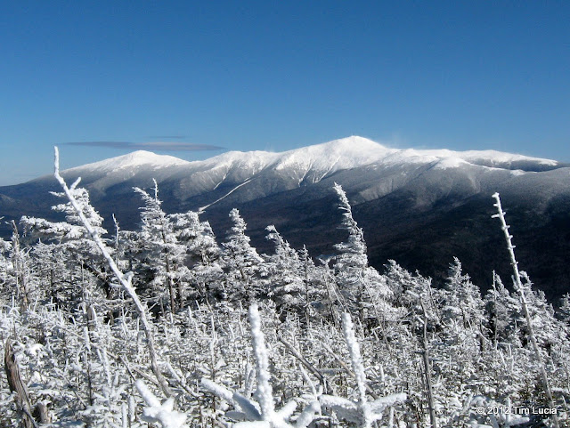
Presidential Range from Mount Tom east viewpoint
I went up Mount Tom first, stopping at the Mount Tom Spur to visit the gray jays and a few other hikers. Here, the wind was noticeable, but not stinging or anything. That changed a bit when I got to the summit, although the east-face was semi sheltered. You can see the snow blowing off the eastern faces of the Presidential Range.
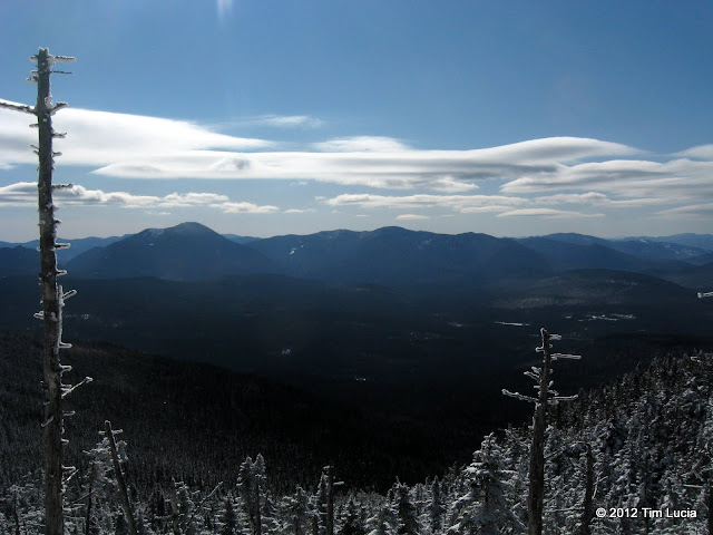
Pemi view from the Field-Willey col
The ridge approaching Field from Tom had significant wind and stinging blowing snow. Between my sunglasses and my hood, I was comfortable. The summit of Field was very cold and windy with more stinging snow, so I didn't stay more than 30 seconds. I didn't notice if the resident gray jays were here or not - they were on Tom for sure. On the way down to Willey, the sun was warm and the wind was blocked and it was downright pleasant.
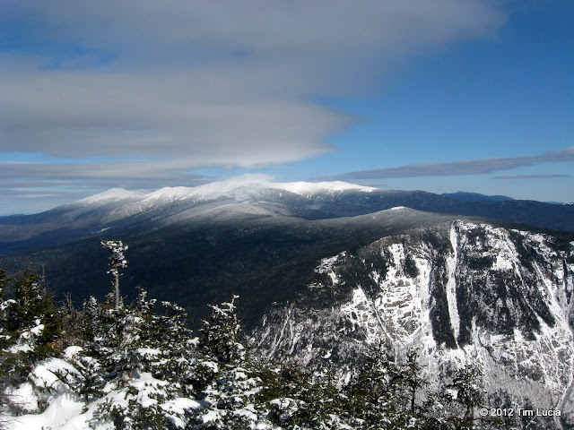
Presidential Range and Webster Cliff from Willey outlook
Again along the ridge approaching the peak (Willey), there was blowing and drifting snow, but not a lot of snowshoe wearers. By the time I headed back to Field, most of my tracks had been blown away. On the Willey Overlook, there was some shelter and I ate and drank and watched the clouds forming over the Presis.
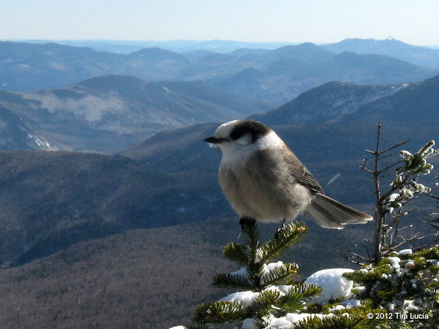
My friend, Jay, at the Willey outlook
All the way back to the Highland Center, I debated whether or not to cross the street and pick off Jackson, but the wind was still howling and I decided I would tag Tecumseh on the way home. Note that the Avalon descent is a bobsled track - too fast for my comfort and with too many exposed rocks and branches so I walked down, glad to have the snowshoes.
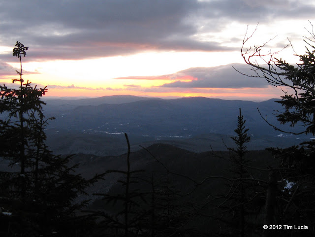
I got to the Waterville Valley ski parking lot at 4PM, and was on trail at 4:10. Tecumseh was on the list of peaks I would have done completely in the dark, possibly after work or something. I knew that for the given conditions, I could expect less than 2 and a half hours (2:20 in 2010). I barebooted to the ski slope viewpoint and snowshoed to the summit from there. I caught the sun setting from the west loop coming off the summit. At the Sossman Trail, I put on the headlamp and rain pants, took off my snowshoes, and butt-slid all the way back to the ski slope viewpoint by headlamp. The watched stopped at 2:17, beating the 2010 time by 3 minutes.
All photos for Tom, Field, Willey and for Tecumseh
Tim

Presidential Range from Mount Tom east viewpoint
I went up Mount Tom first, stopping at the Mount Tom Spur to visit the gray jays and a few other hikers. Here, the wind was noticeable, but not stinging or anything. That changed a bit when I got to the summit, although the east-face was semi sheltered. You can see the snow blowing off the eastern faces of the Presidential Range.

Pemi view from the Field-Willey col
The ridge approaching Field from Tom had significant wind and stinging blowing snow. Between my sunglasses and my hood, I was comfortable. The summit of Field was very cold and windy with more stinging snow, so I didn't stay more than 30 seconds. I didn't notice if the resident gray jays were here or not - they were on Tom for sure. On the way down to Willey, the sun was warm and the wind was blocked and it was downright pleasant.

Presidential Range and Webster Cliff from Willey outlook
Again along the ridge approaching the peak (Willey), there was blowing and drifting snow, but not a lot of snowshoe wearers. By the time I headed back to Field, most of my tracks had been blown away. On the Willey Overlook, there was some shelter and I ate and drank and watched the clouds forming over the Presis.

My friend, Jay, at the Willey outlook
All the way back to the Highland Center, I debated whether or not to cross the street and pick off Jackson, but the wind was still howling and I decided I would tag Tecumseh on the way home. Note that the Avalon descent is a bobsled track - too fast for my comfort and with too many exposed rocks and branches so I walked down, glad to have the snowshoes.
I got to the Waterville Valley ski parking lot at 4PM, and was on trail at 4:10. Tecumseh was on the list of peaks I would have done completely in the dark, possibly after work or something. I knew that for the given conditions, I could expect less than 2 and a half hours (2:20 in 2010). I barebooted to the ski slope viewpoint and snowshoed to the summit from there. I caught the sun setting from the west loop coming off the summit. At the Sossman Trail, I put on the headlamp and rain pants, took off my snowshoes, and butt-slid all the way back to the ski slope viewpoint by headlamp. The watched stopped at 2:17, beating the 2010 time by 3 minutes.

All photos for Tom, Field, Willey and for Tecumseh
Tim
