Weekends have been filled with baseball, dance, and yard work of late. While I have had some nice bike rides, I haven't really been hiking since winter ended. After staring out my office window on Thursday, with Friday looking to be just as nice, and plans for both days this weekend, I made a last-minute decision to take a personal day on Friday. I figured Moosilauke was close, relatively short, and offered me the chance to tag Jim or Blue, plus I'd never been up the Beaver Brook Trail before. On the matter of Beaver Brook, it did not disappoint, steep, challenging, and with spectacular cascades and falls to keep one's attention.
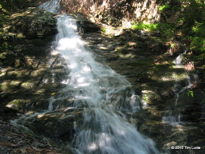
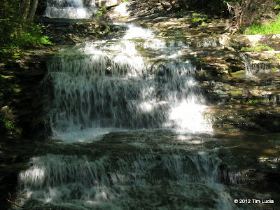
Two of the larger cascades
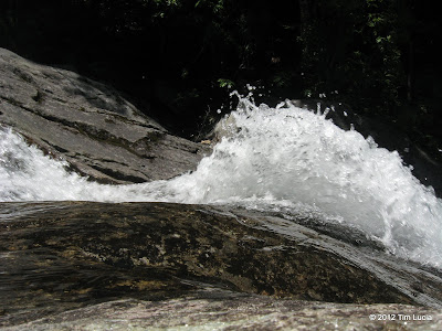
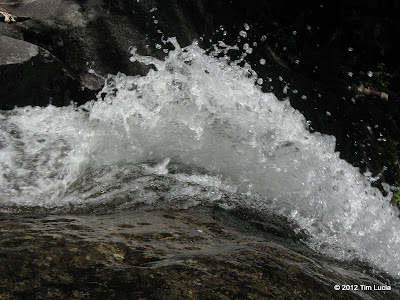
A small bathtub causes a bit of a fountain
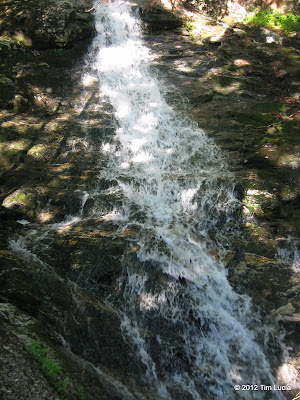
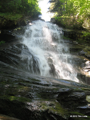
Two of the taller cascades
The summit of Moosilauke was its usual beautiful self, with a lot of people, including a family flying a kite. I won't spend any more time on this.
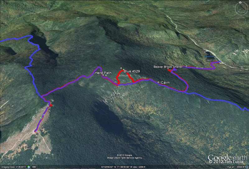
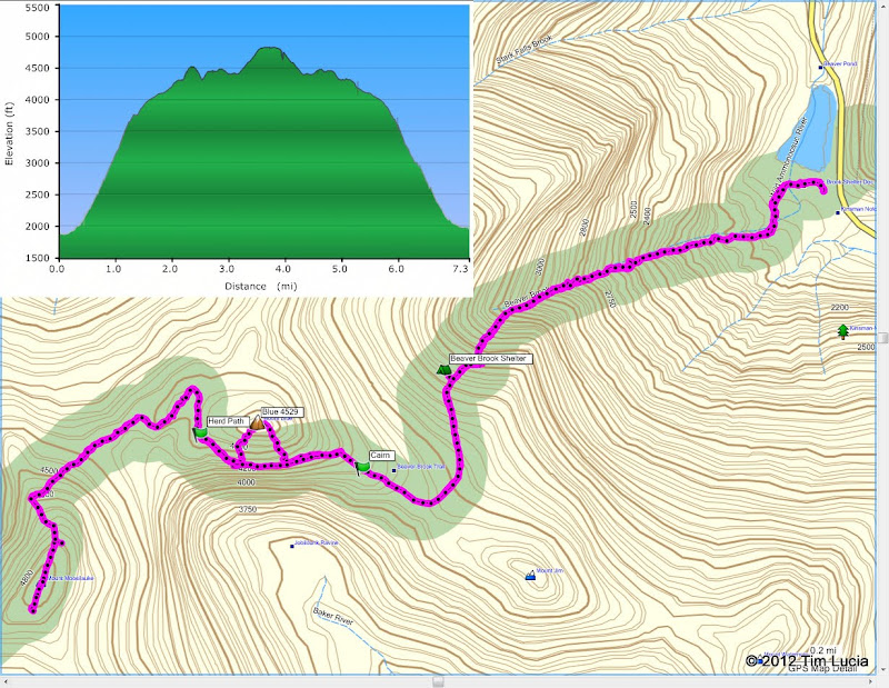
Since I had made a last-minute decision to go, I didn't do much research on routes. I found a photo or two of tracks and they looked like they just made a half-circle off of the Beaver Brook Trail. I did the same. The first half of the ascent is very thick and spindly and of course there are a million black flies here. I followed a few very small drainages (which were dry) and tried to avoid the thickest stuff. Once above the visible fir wave, things got easier. On the top, there were occasional traces of a herd path and then, when you get to the actual high point, there is a much more obvious herd path heading roughly WSW. I lost it, and just took the easiest route down hill back to the AT. Again, it was kind of nasty below the fir wave. Here is the track:
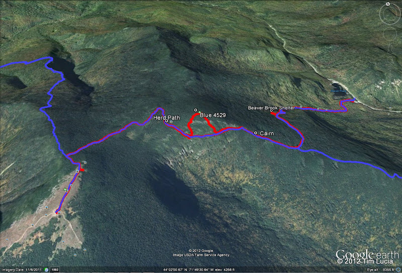
I noticed, on the return trip, what looked like a very nice herd path heading east from the AT in the western col. It is marked on the map above. Does anyone know for sure that this is the optimal way to head up Blue?
Also, I found a very small cairn on the north side of the trail, shown on the map, which didn't seem to mark anything in particular and which was too low to indicate the start of any bushwhack (although the woods here looked better). It could have marked a campsite somewhere near by.
All photos/video
Tim


Two of the larger cascades


A small bathtub causes a bit of a fountain


Two of the taller cascades
The summit of Moosilauke was its usual beautiful self, with a lot of people, including a family flying a kite. I won't spend any more time on this.
Since I had made a last-minute decision to go, I didn't do much research on routes. I found a photo or two of tracks and they looked like they just made a half-circle off of the Beaver Brook Trail. I did the same. The first half of the ascent is very thick and spindly and of course there are a million black flies here. I followed a few very small drainages (which were dry) and tried to avoid the thickest stuff. Once above the visible fir wave, things got easier. On the top, there were occasional traces of a herd path and then, when you get to the actual high point, there is a much more obvious herd path heading roughly WSW. I lost it, and just took the easiest route down hill back to the AT. Again, it was kind of nasty below the fir wave. Here is the track:

I noticed, on the return trip, what looked like a very nice herd path heading east from the AT in the western col. It is marked on the map above. Does anyone know for sure that this is the optimal way to head up Blue?
Also, I found a very small cairn on the north side of the trail, shown on the map, which didn't seem to mark anything in particular and which was too low to indicate the start of any bushwhack (although the woods here looked better). It could have marked a campsite somewhere near by.
All photos/video
Tim

