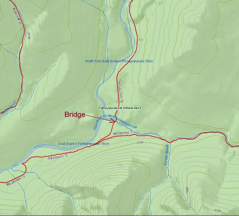
Note, that for added confusion, when the bridge over the East Branch was removed, portions of certain trails were renamed. The "Wilderness Trail" is now completely on the east side of the East Branch, and the "Bondcliff Trail" now starts at the Wilderness boundary on the west side of the East Branch/north side of Franconia Brook. So when looking at any pre-2008 description of this area, the "Wilderness Trail" isn't what is on the current maps.
In current parlance, the trail on the east side of the East Branch is the "East Side Trail" up to the Wilderness boundary, and the "Wilderness Trail" beyond. The trail on the west side of the East Branch is the "Lincoln Woods Trail" up to the Wilderness boundary, and the "Bondcliff Trail" beyond. You will note that these aren't the names that appear on DougPaul's map link (in fact, his is the even older version, that shows the "Wilderness Trail" going all the way to the Kanc, and the current "East Side Trail" is shown as an unnamed road).
Note that many maps (including the AMC maps, and the map on the trailhead kiosk at the Lincoln Woods trailhead), show an unnamed trail that crosses the East Branch just above Franconia Brook, connecting the (now) Bondcliff Trail to the East Side Trail in the area of the Franconia Brook East Tensite. You should consider this trail to be a work of fiction. It is sometimes passable at low water, and in the "olden days" you would just continue upstream to the suspension bridge if it was an issue. Now, if you can't cross, you have to backtrack to the trailhead (5+ miles round-trip). I have no idea why the FS still considers this to be a trail, since I was told in 2009 that the FS intentionally removed/disturbed the rocks that served as stepping stones at that location to discourage its use (of course, it's possible I was lied to). And that was before Irene & Sandy reworked the river bed in that area in a big way.


